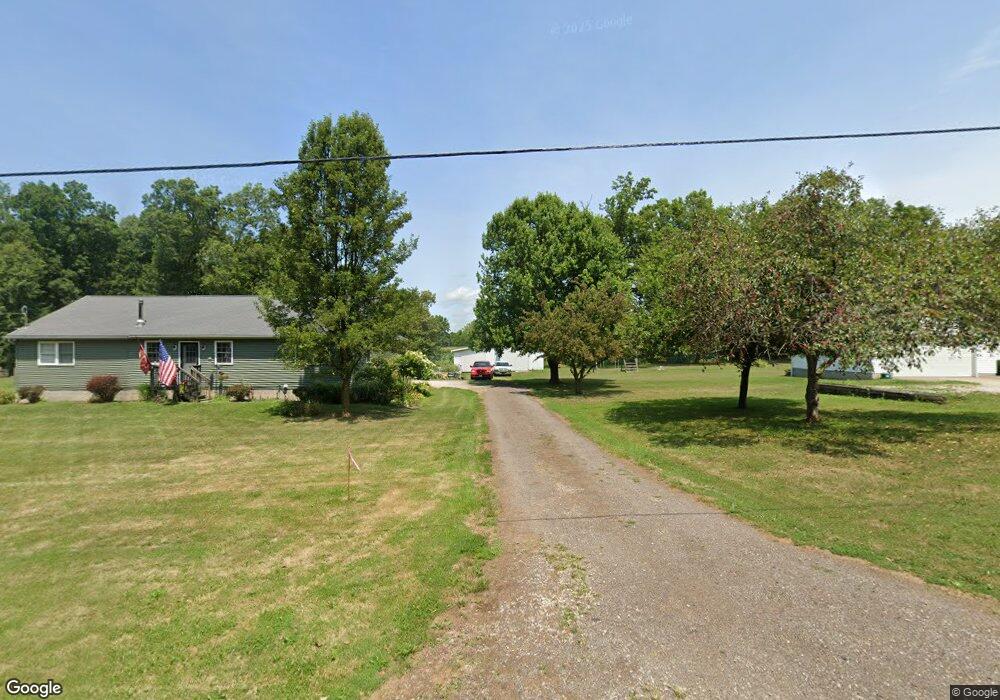
9567 Matty Rd West Salem, OH 44287
Estimated Value: $290,000 - $362,000
3
Beds
2
Baths
1,792
Sq Ft
$180/Sq Ft
Est. Value
About This Home
This home is located at 9567 Matty Rd, West Salem, OH 44287 and is currently estimated at $322,224, approximately $179 per square foot. 9567 Matty Rd is a home located in Wayne County with nearby schools including Northwestern Elementary School and Northwestern Middle School.
Ownership History
Date
Name
Owned For
Owner Type
Purchase Details
Closed on
May 20, 2013
Sold by
Imhoff James L and Imhoff Barbara D
Bought by
Imhoff James L and Imhoff Barbara D
Current Estimated Value
Purchase Details
Closed on
Sep 14, 2004
Sold by
Schwartz Paul and Schwartz Megan
Bought by
Imhoff James L
Home Financials for this Owner
Home Financials are based on the most recent Mortgage that was taken out on this home.
Original Mortgage
$135,900
Outstanding Balance
$81,360
Interest Rate
6.17%
Mortgage Type
Unknown
Estimated Equity
$240,864
Purchase Details
Closed on
Sep 13, 2004
Sold by
Imhoff Kenneth and Imhoff Lou Ella
Bought by
Schwartz Paul and Schwartz Chris
Home Financials for this Owner
Home Financials are based on the most recent Mortgage that was taken out on this home.
Original Mortgage
$135,900
Outstanding Balance
$81,360
Interest Rate
6.17%
Mortgage Type
Unknown
Estimated Equity
$240,864
Create a Home Valuation Report for This Property
The Home Valuation Report is an in-depth analysis detailing your home's value as well as a comparison with similar homes in the area
Home Values in the Area
Average Home Value in this Area
Purchase History
| Date | Buyer | Sale Price | Title Company |
|---|---|---|---|
| Imhoff James L | -- | Attorney | |
| Imhoff James L | $135,000 | -- | |
| Schwartz Paul | $10,000 | -- |
Source: Public Records
Mortgage History
| Date | Status | Borrower | Loan Amount |
|---|---|---|---|
| Open | Imhoff James L | $135,900 |
Source: Public Records
Tax History Compared to Growth
Tax History
| Year | Tax Paid | Tax Assessment Tax Assessment Total Assessment is a certain percentage of the fair market value that is determined by local assessors to be the total taxable value of land and additions on the property. | Land | Improvement |
|---|---|---|---|---|
| 2024 | $2,826 | $81,200 | $14,440 | $66,760 |
| 2023 | $2,826 | $81,200 | $14,440 | $66,760 |
| 2022 | $2,209 | $57,580 | $10,240 | $47,340 |
| 2021 | $2,214 | $57,580 | $10,240 | $47,340 |
| 2020 | $2,240 | $57,580 | $10,240 | $47,340 |
| 2019 | $2,203 | $53,120 | $8,880 | $44,240 |
| 2018 | $2,154 | $53,120 | $8,880 | $44,240 |
| 2017 | $2,136 | $53,120 | $8,880 | $44,240 |
| 2016 | $1,990 | $51,070 | $8,530 | $42,540 |
| 2015 | $1,958 | $51,070 | $8,530 | $42,540 |
| 2014 | $1,982 | $51,070 | $8,530 | $42,540 |
| 2013 | $2,018 | $50,540 | $8,340 | $42,200 |
Source: Public Records
Map
Nearby Homes
- 10212 Lattasburg Rd
- 9657 W Smithville Western Rd
- 1137 County Road 175
- 8743 Ashland Rd
- 156 U S 250
- 164 State Route 302
- 7789 Cedar Valley Rd
- 999 Township Road 133
- 104 N Maple St
- V/L #10 Rice Hill Rd
- V/L #8 Rice Hill Rd
- V/L #7 Rice Hill Rd
- V/L #11 Rice Hill Rd
- V/L #5 Rice Hill Rd
- V/L #13 Rice Hill Rd
- V/L #2 Rice Hill Rd
- V/L #9 Rice Hill Rd
- V/L #6 Rice Hill Rd
- V/L #4 Rice Hill Rd
- V/L #3 Rice Hill Rd