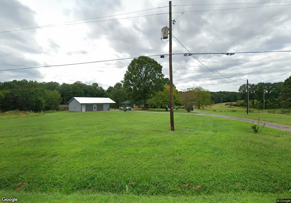
9568 Paul Payne Store Rd Stony Point, NC 28678
Estimated Value: $264,000 - $318,000
--
Bed
--
Bath
1,676
Sq Ft
$169/Sq Ft
Est. Value
About This Home
This home is located at 9568 Paul Payne Store Rd, Stony Point, NC 28678 and is currently estimated at $283,104, approximately $168 per square foot. 9568 Paul Payne Store Rd is a home with nearby schools including Stony Point Elementary School, East Alexander Middle School, and Alexander Central High School.
Ownership History
Date
Name
Owned For
Owner Type
Purchase Details
Closed on
May 2, 2023
Sold by
Moose Judy M
Bought by
Harrington Megan Elizabeth and Fox Garrett Jason
Current Estimated Value
Purchase Details
Closed on
Apr 28, 2015
Sold by
Moose David E and Moose Judy M
Bought by
Byers Debra Moose and Byers Gary Steven
Create a Home Valuation Report for This Property
The Home Valuation Report is an in-depth analysis detailing your home's value as well as a comparison with similar homes in the area
Home Values in the Area
Average Home Value in this Area
Purchase History
| Date | Buyer | Sale Price | Title Company |
|---|---|---|---|
| Harrington Megan Elizabeth | -- | None Listed On Document | |
| Harrington Megan Elizabeth | -- | None Listed On Document | |
| Byers Debra Moose | -- | None Available |
Source: Public Records
Tax History Compared to Growth
Tax History
| Year | Tax Paid | Tax Assessment Tax Assessment Total Assessment is a certain percentage of the fair market value that is determined by local assessors to be the total taxable value of land and additions on the property. | Land | Improvement |
|---|---|---|---|---|
| 2025 | $1,777 | $246,761 | $31,619 | $215,142 |
| 2024 | $1,826 | $246,761 | $31,619 | $215,142 |
| 2023 | $1,826 | $246,761 | $31,619 | $215,142 |
| 2022 | $1,258 | $146,271 | $24,860 | $121,411 |
| 2021 | $1,258 | $146,271 | $24,860 | $121,411 |
| 2020 | $1,215 | $141,336 | $19,925 | $121,411 |
| 2019 | $1,215 | $141,336 | $19,925 | $121,411 |
| 2018 | $1,201 | $141,336 | $19,925 | $121,411 |
| 2017 | $1,201 | $141,336 | $19,925 | $121,411 |
| 2016 | $1,201 | $141,336 | $19,925 | $121,411 |
| 2015 | $1,197 | $140,836 | $19,425 | $121,411 |
| 2014 | $1,197 | $143,413 | $21,886 | $121,527 |
| 2012 | -- | $143,413 | $21,886 | $121,527 |
Source: Public Records
Map
Nearby Homes
- 1368 Middle Rd
- 200 Vista Pointe Dr
- 2013 Carl Fox Rd
- 1975 Carl Fox Rd
- 6072 Lookout Heights Dr
- TBD County Line Rd
- 224 Stewart Rock Rd
- 3766 Highwater Rd
- 51 Rosemont Dr
- 507 Stewart Rock Rd Unit 46
- 0 Mount Wesley Church Rd
- 163 Primrose Dr
- 218 Fulbright Rd
- 4247 Laurel Hill Rd
- 3 Mountain Aire Dr
- 4270 Laurel Hill Rd
- 4723 Old Mountain Rd
- 657 Mount Wesley Church Rd
- 547 Stewart Rock Rd
- 179 Riverwalk Rd
- 9704 Paul Payne Store Rd
- 9520 Paul Payne Store Rd
- 3121 Drumstand Rd
- 9360 Paul Payne Store Rd
- 9360 Paul Payne Store Rd Unit 3
- 9342 Paul Payne Store Rd
- 9300 Paul Payne Store Rd
- 3060 Drumstand Rd
- 9294 Paul Payne Store Rd
- 9266 Paul Payne Store Rd
- 9794 Paul Payne Store Rd
- 9744 Paul Payne Store Rd
- 41 Taylor Rd
- 9777 Paul Payne Store Rd
- 43 Tyler Dr
- 9214 Paul Payne Store Rd
- 00 Paul Payne Store Rd
- 9265 Paul Payne Store Rd
- 2878 Drumstand Rd
- 3041 Drumstand Rd