9569 Brushy Fork Rd Tell City, IN 47586
Estimated Value: $301,000 - $632,381
4
Beds
4
Baths
2,382
Sq Ft
$175/Sq Ft
Est. Value
About This Home
This home is located at 9569 Brushy Fork Rd, Tell City, IN 47586 and is currently estimated at $417,460, approximately $175 per square foot. 9569 Brushy Fork Rd is a home with nearby schools including William Tell Elementary School and Tell City Junior/Senior High School.
Ownership History
Date
Name
Owned For
Owner Type
Purchase Details
Closed on
Sep 24, 2018
Sold by
Huber Michael P
Bought by
Huber Michael P and Huber Melissa A
Current Estimated Value
Home Financials for this Owner
Home Financials are based on the most recent Mortgage that was taken out on this home.
Original Mortgage
$40,000,000
Outstanding Balance
$34,810,514
Interest Rate
4.5%
Mortgage Type
New Conventional
Estimated Equity
-$34,393,054
Purchase Details
Closed on
Aug 30, 2016
Sold by
Zellers William A
Bought by
Huber Michael P
Create a Home Valuation Report for This Property
The Home Valuation Report is an in-depth analysis detailing your home's value as well as a comparison with similar homes in the area
Home Values in the Area
Average Home Value in this Area
Purchase History
| Date | Buyer | Sale Price | Title Company |
|---|---|---|---|
| Huber Michael P | -- | None Available | |
| Huber Michael P | $32,500 | -- |
Source: Public Records
Mortgage History
| Date | Status | Borrower | Loan Amount |
|---|---|---|---|
| Open | Huber Michael P | $40,000,000 |
Source: Public Records
Tax History Compared to Growth
Tax History
| Year | Tax Paid | Tax Assessment Tax Assessment Total Assessment is a certain percentage of the fair market value that is determined by local assessors to be the total taxable value of land and additions on the property. | Land | Improvement |
|---|---|---|---|---|
| 2024 | $5,280 | $519,300 | $40,700 | $478,600 |
| 2023 | $4,772 | $458,200 | $40,700 | $417,500 |
| 2022 | $4,423 | $443,400 | $33,000 | $410,400 |
| 2021 | $3,831 | $371,600 | $25,300 | $346,300 |
| 2020 | $3,559 | $344,500 | $25,300 | $319,200 |
| 2019 | $3,554 | $344,000 | $24,500 | $319,500 |
| 2018 | $28 | $2,400 | $1,600 | $800 |
| 2017 | $56 | $2,700 | $1,900 | $800 |
| 2016 | $59 | $2,800 | $2,000 | $800 |
| 2014 | $60 | $2,800 | $2,100 | $700 |
| 2013 | $60 | $2,600 | $1,800 | $800 |
Source: Public Records
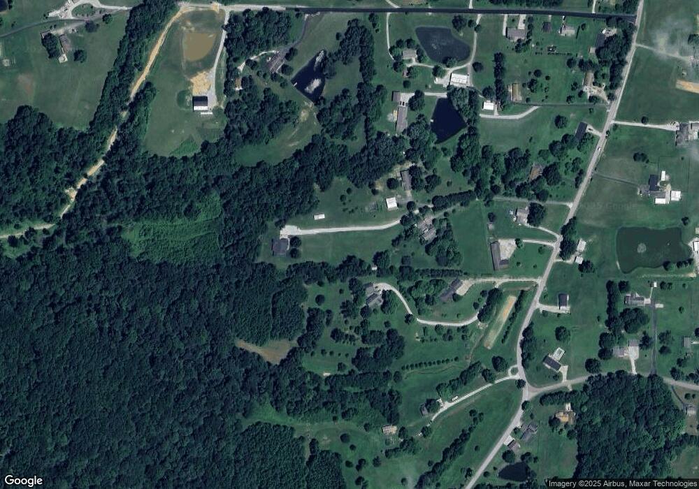
Map
Nearby Homes
- 9485 Singleton Rd
- 0 Brushy Fork Rd
- 9040 Steward Rd
- 9225 Sunset Rd
- 9765 Stardust Rd
- 1804 12th St
- 8700 Brushy Fork Rd
- 1634 13th St
- Revolution Craftsman Plan at Forest Canton Heights
- Patriot Craftsman Plan at Forest Canton Heights
- National Craftsman Plan at Forest Canton Heights
- Cumberland Craftsman Plan at Forest Canton Heights
- Teton Craftsman Plan at Forest Canton Heights
- Summit Craftsman Plan at Forest Canton Heights
- 9150 Doctor N A James Ave Unit 4
- 1341 17th St
- 0 Hwy 66 Unit 11177769
- 1241 20th St
- 0 Starlite Rd
- 1505 11th St
- 9503 Brushy Fork Rd
- 9573 Brushy Fork Rd
- 9571 Brushy Fork Rd
- 9505 Brushy Fork Rd
- 9655 Brushy Fork Rd
- 9537 Brushy Fork Rd
- 9541 Brushy Fork Rd
- 9423 Brushy Fork Rd
- 3067 Seymour Rd
- 9587 Brushy Fork Rd
- 3131 Seymour Rd
- 9520 Brushy Fork Rd
- 9651 Brushy Fork Rd
- 0 Seymour Rd
- 3270 Stone Rd
- 3142 Seymour Rd
- 9627 Brushy Fork Rd
- 3241 Seymour Rd
- 3285 Stone Rd
- 3356 Stone Rd