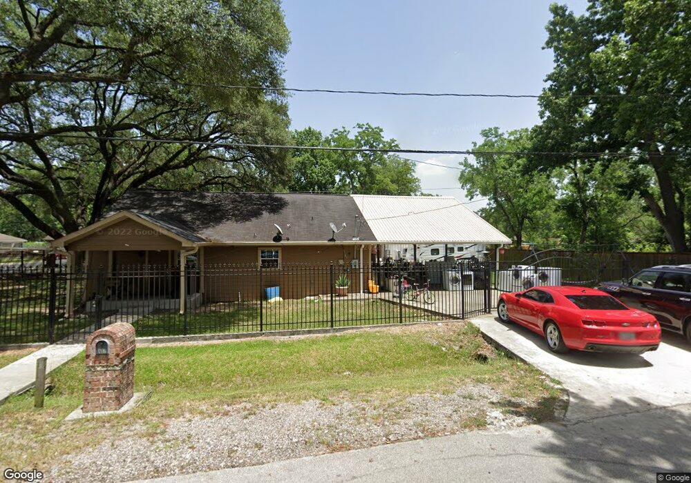
957 Dewalt St Houston, TX 77088
Acres Homes NeighborhoodEstimated Value: $208,338 - $226,000
3
Beds
1
Bath
1,440
Sq Ft
$152/Sq Ft
Est. Value
About This Home
This home is located at 957 Dewalt St, Houston, TX 77088 and is currently estimated at $218,835, approximately $151 per square foot. 957 Dewalt St is a home located in Harris County with nearby schools including Osborne Elementary School, Williams Middle, and Booker T Washington Sr High.
Ownership History
Date
Name
Owned For
Owner Type
Purchase Details
Closed on
Jan 28, 2012
Sold by
Cade Charles W
Bought by
Mendez Javier
Current Estimated Value
Purchase Details
Closed on
Jan 31, 1994
Sold by
Hayes Robert L and Vickery Emmett R
Bought by
Clark Clarence M and Cade Charles W
Home Financials for this Owner
Home Financials are based on the most recent Mortgage that was taken out on this home.
Original Mortgage
$22,000
Interest Rate
7.05%
Mortgage Type
Seller Take Back
Create a Home Valuation Report for This Property
The Home Valuation Report is an in-depth analysis detailing your home's value as well as a comparison with similar homes in the area
Home Values in the Area
Average Home Value in this Area
Purchase History
| Date | Buyer | Sale Price | Title Company |
|---|---|---|---|
| Mendez Javier | -- | None Available | |
| Clark Clarence M | -- | -- |
Source: Public Records
Mortgage History
| Date | Status | Borrower | Loan Amount |
|---|---|---|---|
| Previous Owner | Clark Clarence M | $22,000 |
Source: Public Records
Tax History Compared to Growth
Tax History
| Year | Tax Paid | Tax Assessment Tax Assessment Total Assessment is a certain percentage of the fair market value that is determined by local assessors to be the total taxable value of land and additions on the property. | Land | Improvement |
|---|---|---|---|---|
| 2025 | $4,565 | $215,187 | $172,800 | $42,387 |
| 2024 | $4,565 | $225,012 | $172,800 | $52,212 |
| 2023 | $4,565 | $181,812 | $129,600 | $52,212 |
| 2022 | $3,386 | $153,782 | $89,100 | $64,682 |
| 2021 | $2,338 | $100,323 | $54,000 | $46,323 |
| 2020 | $2,243 | $92,626 | $48,600 | $44,026 |
| 2019 | $2,022 | $79,909 | $37,800 | $42,109 |
| 2018 | $1,569 | $61,993 | $21,600 | $40,393 |
| 2017 | $1,428 | $56,487 | $21,600 | $34,887 |
| 2016 | $1,428 | $56,487 | $21,600 | $34,887 |
| 2015 | $1,176 | $45,759 | $21,600 | $24,159 |
| 2014 | $1,176 | $45,759 | $21,600 | $24,159 |
Source: Public Records
Map
Nearby Homes
- 0 Grenshaw
- 0 Marcolin St
- 958 Conklin St
- 1028 Marcolin St
- 1030 Marcolin St
- 1032 Marcolin St
- 1034 Marcolin St
- 1559 Diplomat Way
- 1054 Dewalt St
- 1314 Tarberry Rd
- 8602 De Priest St
- 8615 Citation Ct
- 8606 Prairie View Dr
- 1043 Conklin St
- 1038 Randolph St
- 907 Ferguson Way
- 905 Ferguson Way
- 934 South Ln
- 936 - A&B South Ln
- 9010 Wheatley St
- 950 Ellington St
- 960 Dewalt St
- 966 Ellington St
- 948 Ellington St
- 941 Dewalt St
- 969 Dewalt St
- 970 Ellington St
- 968 Dewalt St
- 948 Dewalt St
- 937 Dewalt St
- 944 Dewalt St
- 974 Ellington St Unit AB
- 974 Ellington St Unit A
- 974 Ellington St Unit B
- 974 Ellington St
- 942 Ellington St
- 970 Dewalt St
- 933 Dewalt St
- 974 Ellington Street Unit B St Unit AB
- 967 Ellington St