957 Maxfield Rd Hartland, MI 48353
Estimated Value: $631,000 - $792,000
4
Beds
3
Baths
2,357
Sq Ft
$293/Sq Ft
Est. Value
About This Home
This home is located at 957 Maxfield Rd, Hartland, MI 48353 and is currently estimated at $691,335, approximately $293 per square foot. 957 Maxfield Rd is a home located in Livingston County with nearby schools including Hartland High School.
Ownership History
Date
Name
Owned For
Owner Type
Purchase Details
Closed on
Jan 15, 2016
Sold by
Schaefer Scofield Mary T and Rickard Scofield W
Bought by
Wilczewski Mark
Current Estimated Value
Home Financials for this Owner
Home Financials are based on the most recent Mortgage that was taken out on this home.
Original Mortgage
$256,800
Outstanding Balance
$204,305
Interest Rate
3.97%
Mortgage Type
New Conventional
Estimated Equity
$487,030
Purchase Details
Closed on
Apr 12, 2011
Sold by
Schaefer Scofield Mary T
Bought by
Schaefer Scofield Mary T and Rickard Scofield W
Purchase Details
Closed on
Mar 12, 2001
Sold by
Schaefer John D and Schaefer Zechmayer Mary
Bought by
Schaefer Michael G
Purchase Details
Closed on
Aug 10, 2000
Sold by
Schaefer Michael G
Bought by
Schaefer John D and Zechmayer Mary Schaefer
Purchase Details
Closed on
Apr 12, 2000
Sold by
Schaefer Lynne and Schaefer Timothy J
Bought by
Schaefer Michael and Schaefer Michael G
Create a Home Valuation Report for This Property
The Home Valuation Report is an in-depth analysis detailing your home's value as well as a comparison with similar homes in the area
Home Values in the Area
Average Home Value in this Area
Purchase History
| Date | Buyer | Sale Price | Title Company |
|---|---|---|---|
| Wilczewski Mark | $321,000 | None Available | |
| Schaefer Scofield Mary T | $262,500 | -- | |
| Schaefer Michael G | -- | -- | |
| Schaefer John D | -- | -- | |
| Schaefer Michael | -- | -- |
Source: Public Records
Mortgage History
| Date | Status | Borrower | Loan Amount |
|---|---|---|---|
| Open | Wilczewski Mark | $256,800 |
Source: Public Records
Tax History Compared to Growth
Tax History
| Year | Tax Paid | Tax Assessment Tax Assessment Total Assessment is a certain percentage of the fair market value that is determined by local assessors to be the total taxable value of land and additions on the property. | Land | Improvement |
|---|---|---|---|---|
| 2025 | $8,182 | $327,500 | $0 | $0 |
| 2024 | $3,540 | $321,900 | $0 | $0 |
| 2023 | $3,384 | $286,600 | $0 | $0 |
| 2022 | $7,425 | $252,700 | $0 | $0 |
| 2021 | $7,267 | $253,900 | $0 | $0 |
| 2020 | $7,241 | $250,400 | $0 | $0 |
| 2019 | $6,980 | $252,700 | $0 | $0 |
| 2018 | $7,134 | $258,000 | $0 | $0 |
| 2017 | $7,163 | $258,000 | $0 | $0 |
| 2016 | $6,653 | $252,600 | $0 | $0 |
| 2014 | $5,091 | $247,200 | $0 | $0 |
| 2012 | $5,091 | $224,900 | $0 | $0 |
Source: Public Records
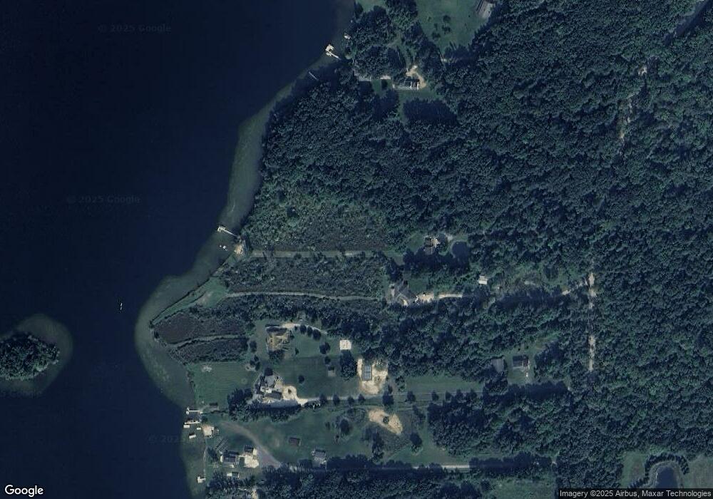
Map
Nearby Homes
- 1020 Woods Edge Dr
- 1163 Long Lake Dr
- 1441 Remsing St Unit 4
- 1412 North Ct
- 227 W Peterson Dr
- 12002 Renfrew Ct
- 11639 Island Ct
- V/L Highland Rd
- V/L Parcel D Old Us-23 Hwy
- V/L Parcels C & D Old Us-23 Hwy
- V/L Parcel C Old Us-23 Hwy
- 149 W Auburn Trail
- 2255 Clark Rd
- 10579 Lee Ann Dr
- 000 Highland Rd
- 2.03 Acres Highland Rd
- 1660 Chelsea Cir Unit 162
- 198 W Auburn Trail Unit 31
- 12071 Highland Rd
- 2581 Pepper Ct
- 1033 Maxfield Rd
- 899 Maxfield Rd
- 863 Maxfield Rd
- 847 Maxfield Rd
- 1075 Maxfield Rd
- 1075 Maxfield Rd
- 0 Maxfield Rd Unit 210031210
- 0 Maxfield Rd Unit 210099439
- 0 Maxfield Rd Unit 211122186
- 0 Maxfield Rd Unit 211122178
- 0 Maxfield Rd Unit 212024474
- 0 Maxfield Rd Unit 20230036427
- 0 Maxfield Rd
- 0 Maxfield Rd Unit G21547975
- 0 Maxfield Rd Unit G21547969
- 0 Maxfield Rd Unit R214114005
- 0 Maxfield Rd Unit R215118098
- 0 Maxfield Rd Unit R216041690
- 0 Maxfield Rd Unit R218043090
- 0 Maxfield Rd Unit 3279446