Estimated Value: $202,193 - $285,000
--
Bed
1
Bath
1,643
Sq Ft
$148/Sq Ft
Est. Value
About This Home
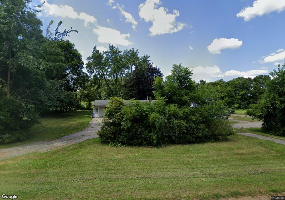
This home is located at 957 N State Rd, Ionia, MI 48846 and is currently estimated at $243,798, approximately $148 per square foot. 957 N State Rd is a home located in Ionia County with nearby schools including North LeValley Elementary School, Saints Peter and Paul Catholic School, and Ionia Seventh Day Adventist Elementary School.
Ownership History
Date
Name
Owned For
Owner Type
Purchase Details
Closed on
Aug 16, 2013
Sold by
Harkness Cheryl D
Bought by
Goodsell Albert L and Goodsell Diane S
Current Estimated Value
Home Financials for this Owner
Home Financials are based on the most recent Mortgage that was taken out on this home.
Original Mortgage
$78,750
Outstanding Balance
$58,540
Interest Rate
4.38%
Mortgage Type
Future Advance Clause Open End Mortgage
Estimated Equity
$185,258
Create a Home Valuation Report for This Property
The Home Valuation Report is an in-depth analysis detailing your home's value as well as a comparison with similar homes in the area
Home Values in the Area
Average Home Value in this Area
Purchase History
| Date | Buyer | Sale Price | Title Company |
|---|---|---|---|
| Goodsell Albert L | $110,000 | Cfc Title Services Inc |
Source: Public Records
Mortgage History
| Date | Status | Borrower | Loan Amount |
|---|---|---|---|
| Open | Goodsell Albert L | $78,750 |
Source: Public Records
Tax History Compared to Growth
Tax History
| Year | Tax Paid | Tax Assessment Tax Assessment Total Assessment is a certain percentage of the fair market value that is determined by local assessors to be the total taxable value of land and additions on the property. | Land | Improvement |
|---|---|---|---|---|
| 2025 | $1,760 | $88,000 | $16,900 | $71,100 |
| 2024 | $491 | $88,000 | $16,900 | $71,100 |
| 2023 | $468 | $73,600 | $12,700 | $60,900 |
| 2022 | $446 | $73,600 | $12,700 | $60,900 |
| 2021 | $1,552 | $55,600 | $11,700 | $43,900 |
| 2020 | $428 | $55,600 | $11,700 | $43,900 |
| 2019 | $399 | $46,300 | $10,300 | $36,000 |
| 2018 | $1,470 | $43,200 | $16,700 | $26,500 |
| 2017 | $402 | $43,200 | $16,700 | $26,500 |
| 2016 | $399 | $39,200 | $16,700 | $22,500 |
| 2015 | -- | $39,200 | $16,700 | $22,500 |
| 2014 | -- | $36,400 | $15,100 | $21,300 |
Source: Public Records
Map
Nearby Homes
- 1021 N State Rd
- 980 N State Rd
- 940 N State Rd
- 79 Butterfly Ct Unit 3
- 1059 N State Rd
- 81 Meadowlark Dr
- 83 Butterfly Ct
- 1040 N State Rd
- 1040 N State Rd
- 85 Meadowlark Dr
- 912 N State Rd
- 80 Meadowlark Dr
- 90 Butterfly Ct
- 91 Butterfly Ct
- 888 N State Rd
- 1129 N State Rd
- 1130 N State Rd
- 973 Red Pine Dr
- 0 Butterfly Ct Unit LOT 7 3486190
- 0 Butterfly Ct