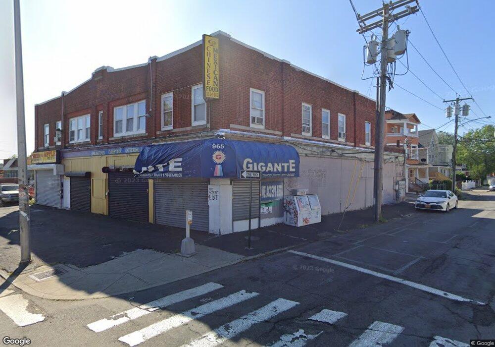
957 State St Bridgeport, CT 06605
West End-West Side NeighborhoodEstimated Value: $784,333
--
Bed
--
Bath
9,638
Sq Ft
$81/Sq Ft
Est. Value
About This Home
This home is located at 957 State St, Bridgeport, CT 06605 and is currently estimated at $784,333, approximately $81 per square foot. 957 State St is a home located in Fairfield County with nearby schools including Roosevelt School, Bassick High School, and New Beginnings Family Academy.
Ownership History
Date
Name
Owned For
Owner Type
Purchase Details
Closed on
May 6, 2016
Sold by
Chan Sau
Bought by
Yeung Wai
Current Estimated Value
Home Financials for this Owner
Home Financials are based on the most recent Mortgage that was taken out on this home.
Original Mortgage
$330,000
Outstanding Balance
$263,130
Interest Rate
3.71%
Mortgage Type
Commercial
Estimated Equity
$521,203
Create a Home Valuation Report for This Property
The Home Valuation Report is an in-depth analysis detailing your home's value as well as a comparison with similar homes in the area
Home Values in the Area
Average Home Value in this Area
Purchase History
| Date | Buyer | Sale Price | Title Company |
|---|---|---|---|
| Yeung Wai | $450,000 | -- | |
| Yeung Wai | $450,000 | -- |
Source: Public Records
Mortgage History
| Date | Status | Borrower | Loan Amount |
|---|---|---|---|
| Open | Yeung Wai | $330,000 | |
| Closed | Yeung Wai | $330,000 | |
| Previous Owner | Yeung Wai | $450,000 |
Source: Public Records
Tax History Compared to Growth
Tax History
| Year | Tax Paid | Tax Assessment Tax Assessment Total Assessment is a certain percentage of the fair market value that is determined by local assessors to be the total taxable value of land and additions on the property. | Land | Improvement |
|---|---|---|---|---|
| 2025 | $18,309 | $421,370 | $109,840 | $311,530 |
| 2024 | $18,309 | $421,370 | $109,840 | $311,530 |
| 2023 | $18,309 | $421,370 | $109,840 | $311,530 |
| 2022 | $18,309 | $421,370 | $109,840 | $311,530 |
| 2021 | $18,309 | $421,370 | $109,840 | $311,530 |
| 2020 | $21,314 | $394,770 | $89,990 | $304,780 |
| 2019 | $21,314 | $394,770 | $89,990 | $304,780 |
| 2018 | $21,464 | $394,770 | $89,990 | $304,780 |
| 2017 | $21,464 | $394,770 | $89,990 | $304,780 |
| 2016 | $21,464 | $394,770 | $89,990 | $304,780 |
| 2015 | $17,751 | $420,640 | $98,180 | $322,460 |
| 2014 | $17,751 | $420,640 | $98,180 | $322,460 |
Source: Public Records
Map
Nearby Homes
- 865 Iranistan Ave
- 357 Norman St
- 757 Iranistan Ave Unit 759
- 162 Cottage St
- 90 Lee Ave
- 150 Clinton Ave
- 393 Laurel Ave Unit 203
- 393 Laurel Ave Unit 415
- 1199 Iranistan Ave Unit 1201
- 592 Norman St Unit 594
- 60 Olive St
- 21 Little St
- 22 Sims St
- 1373 Iranistan Ave
- 533 Clinton Ave
- 70 Sims St
- 468 Colorado Ave
- 68 Cole St
- 103 Sims St
- 217 Alsace St
- 232 Norman St Unit 234
- 979 State St
- 978 State St
- 218 Norman St
- 950 State St
- 950 State St Unit 2
- 310 Norman St
- 231 Norman St Unit 233
- 988 State St
- 1001 State St
- 221 Norman St Unit 223
- 937 State St
- 212 Norman St
- 212 Norman St Unit 3
- 212 Norman St Unit 2-3
- 212 Norman St Unit 1
- 212 Norman St Unit 2
- 254 Hanover St
- 246 Hanover St
- 293 Norman St Unit 295