957 W Coal St Trevorton, PA 17881
Estimated Value: $91,646 - $168,000
--
Bed
--
Bath
--
Sq Ft
5,227
Sq Ft Lot
About This Home
This home is located at 957 W Coal St, Trevorton, PA 17881 and is currently estimated at $144,162. 957 W Coal St is a home located in Northumberland County with nearby schools including Line Mountain Elementary School, Line Mountain Middle School, and Line Mountain Junior/Senior High School.
Ownership History
Date
Name
Owned For
Owner Type
Purchase Details
Closed on
Jun 19, 2020
Sold by
Davoli Michael F
Bought by
Davoli Michael F and Davoli Courtney M
Current Estimated Value
Purchase Details
Closed on
Feb 17, 2009
Sold by
Swinehart Gerald G
Bought by
Smith Joan E and Smith James A
Home Financials for this Owner
Home Financials are based on the most recent Mortgage that was taken out on this home.
Original Mortgage
$71,402
Outstanding Balance
$45,231
Interest Rate
5.14%
Mortgage Type
VA
Estimated Equity
$98,931
Create a Home Valuation Report for This Property
The Home Valuation Report is an in-depth analysis detailing your home's value as well as a comparison with similar homes in the area
Home Values in the Area
Average Home Value in this Area
Purchase History
| Date | Buyer | Sale Price | Title Company |
|---|---|---|---|
| Davoli Michael F | -- | None Available | |
| Smith Joan E | $69,900 | None Available |
Source: Public Records
Mortgage History
| Date | Status | Borrower | Loan Amount |
|---|---|---|---|
| Open | Smith Joan E | $71,402 |
Source: Public Records
Tax History Compared to Growth
Tax History
| Year | Tax Paid | Tax Assessment Tax Assessment Total Assessment is a certain percentage of the fair market value that is determined by local assessors to be the total taxable value of land and additions on the property. | Land | Improvement |
|---|---|---|---|---|
| 2025 | $1,317 | $9,850 | $1,040 | $8,810 |
| 2024 | $1,268 | $9,850 | $1,040 | $8,810 |
| 2023 | $1,268 | $9,850 | $1,040 | $8,810 |
| 2022 | $1,268 | $9,850 | $1,040 | $8,810 |
| 2021 | $1,268 | $9,850 | $1,040 | $8,810 |
| 2020 | $1,268 | $9,850 | $1,040 | $8,810 |
| 2019 | $1,237 | $9,850 | $1,040 | $8,810 |
| 2018 | $1,213 | $9,850 | $1,040 | $8,810 |
| 2017 | $1,155 | $9,850 | $1,040 | $8,810 |
| 2016 | -- | $9,850 | $1,040 | $8,810 |
| 2015 | -- | $9,850 | $1,040 | $8,810 |
| 2014 | -- | $9,850 | $1,040 | $8,810 |
Source: Public Records
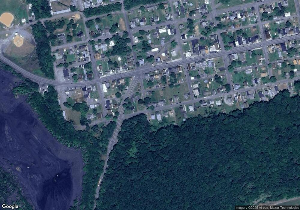
Map
Nearby Homes
- 220-224 S 10th St
- 901 W Coal St
- 225 S 11th St
- 1101 Pleasant View St
- 444 W Market St
- 417 W Shamokin St
- 347 W Market St
- 100 W Shamokin St
- 223 E Market St
- 234 Trevorton Rd
- 377 Trevorton Rd
- 783 Trevorton Rd
- 2764 Pennsylvania 890
- LOT# 3 Blacks Ln
- LOT#2 Blacks Ln
- 2881 State Route 890
- 345 Houser Rd
- 37 ACRES Pennsylvania 890
- 3101 Irish Valley Rd
- 435 Hollow Rd
- 949 W Coal St
- 1004 Carol St
- 1019 W Coal St
- 937 W Coal St
- 1017 Franklin Ave
- 952 W Coal St
- 948 W Shamokin St
- 950 W Coal St
- 1025 W Coal St
- 927 W Coal St
- 936 W Coal St
- 944 W Shamokin St
- 938 W Shamokin St
- 932 W Coal St
- 1020 W Shamokin St
- 1000 W Shamokin St
- 930 W Shamokin St
- 926 W Shamokin St
- 1024 W Shamokin St
- 919 W Coal St