9570 Jacob Ln Shepherd, MT 59079
Estimated Value: $313,087 - $496,000
1
Bed
2
Baths
1,200
Sq Ft
$306/Sq Ft
Est. Value
About This Home
This home is located at 9570 Jacob Ln, Shepherd, MT 59079 and is currently estimated at $367,522, approximately $306 per square foot. 9570 Jacob Ln is a home with nearby schools including Shepherd Elementary School, Shepherd Middle School, and Shepherd High School.
Ownership History
Date
Name
Owned For
Owner Type
Purchase Details
Closed on
May 18, 2007
Sold by
Peila Land Co Llc
Bought by
Krank Jacob
Current Estimated Value
Home Financials for this Owner
Home Financials are based on the most recent Mortgage that was taken out on this home.
Original Mortgage
$36,238
Outstanding Balance
$22,042
Interest Rate
6.17%
Mortgage Type
Unknown
Estimated Equity
$345,480
Create a Home Valuation Report for This Property
The Home Valuation Report is an in-depth analysis detailing your home's value as well as a comparison with similar homes in the area
Purchase History
| Date | Buyer | Sale Price | Title Company |
|---|---|---|---|
| Krank Jacob | -- | None Available |
Source: Public Records
Mortgage History
| Date | Status | Borrower | Loan Amount |
|---|---|---|---|
| Open | Krank Jacob | $36,238 |
Source: Public Records
Tax History
| Year | Tax Paid | Tax Assessment Tax Assessment Total Assessment is a certain percentage of the fair market value that is determined by local assessors to be the total taxable value of land and additions on the property. | Land | Improvement |
|---|---|---|---|---|
| 2025 | $2,210 | $289,400 | $69,948 | $219,452 |
| 2024 | $2,210 | $242,000 | $56,263 | $185,737 |
| 2023 | $2,246 | $242,000 | $56,263 | $185,737 |
| 2022 | $1,746 | $185,700 | $0 | $0 |
| 2021 | $1,987 | $185,700 | $0 | $0 |
| 2020 | $2,027 | $183,700 | $0 | $0 |
| 2019 | $1,744 | $183,700 | $0 | $0 |
| 2018 | $1,611 | $157,200 | $0 | $0 |
| 2017 | $1,258 | $157,200 | $0 | $0 |
| 2016 | $1,249 | $135,832 | $0 | $0 |
| 2015 | $1,195 | $133,372 | $0 | $0 |
| 2014 | $766 | $42,090 | $0 | $0 |
Source: Public Records
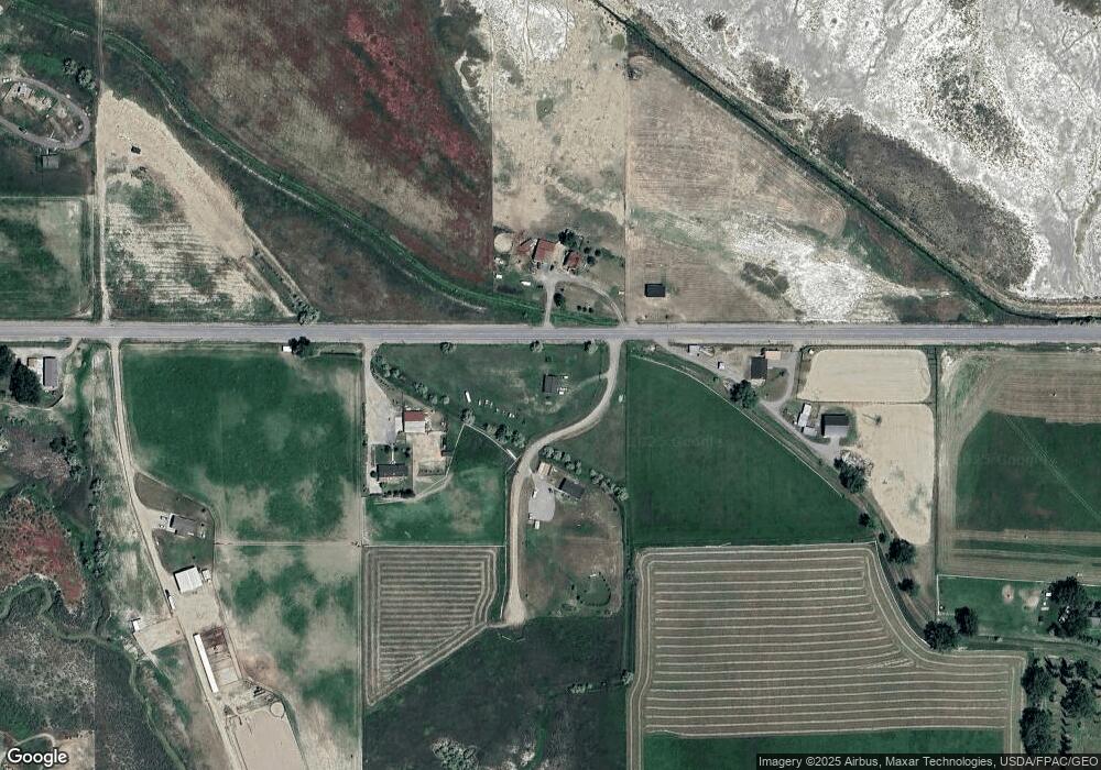
Map
Nearby Homes
- 9705 Shepherd Rd
- 8020 Wade St
- 5652 Bengston Rd
- 7684 12 Mile Rd
- 3835 Nellie Christine Dr
- 3625 Nellie Christine Dr
- 3863 Glenn Edward Rd
- 7445 Horsemans Way
- 10550 Reno Ln
- L5B4 Trumbo Cir
- L4B4 Trumbo Cir
- L1B4 True Grit St
- L16B3 True Grit St
- L2B4 True Grit St
- L3B4 Trumbo Cir
- L15B3 True Grit St
- L12B3 Molly Dr
- L13B3 Molly Dr
- L1B3 Molly Dr W
- L8B3 High Noon Dr
- 9545 Jacob Ln
- 4341 Scandia Rd
- 0 Tbd Highway 87 N Unit 313244
- 4428 Scandia Rd
- 4210 Scandia Rd
- 4225 Scandia Rd
- 4180 Scandia Rd
- 4536 Scandia Rd
- 4540 Scandia Rd
- 9421 12 Mile Rd
- 4132 Lone Wolf Ln
- 4048 Scandia Rd
- 4114 Lone Wolf Ln
- 4538 Scandia Rd
- 4118 Watterson Dr
- 4353 Arnold Rd
- 4035 Scandia Rd
- 4017 Lone Wolf Ln
- 9445 12 Mile Rd
- 4143 Arnold Rd
Your Personal Tour Guide
Ask me questions while you tour the home.