Estimated Value: $236,000 - $286,725
--
Bed
--
Bath
--
Sq Ft
12.38
Acres
About This Home
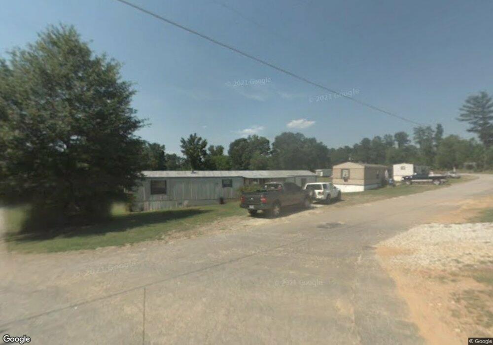
This home is located at 9574 Highway 72 W, Hull, GA 30646 and is currently estimated at $261,363. 9574 Highway 72 W is a home with nearby schools including Madison County High School.
Ownership History
Date
Name
Owned For
Owner Type
Purchase Details
Closed on
Aug 21, 2014
Sold by
Tranquility Forest Llc
Bought by
Tier 1 Investments Llc
Current Estimated Value
Home Financials for this Owner
Home Financials are based on the most recent Mortgage that was taken out on this home.
Original Mortgage
$651,769
Outstanding Balance
$202,659
Interest Rate
3.33%
Mortgage Type
New Conventional
Estimated Equity
$58,704
Purchase Details
Closed on
Jan 22, 1997
Sold by
Porterfield John Hazel
Bought by
Dot
Purchase Details
Closed on
Jan 1, 1990
Bought by
Porterfield John Hazel
Create a Home Valuation Report for This Property
The Home Valuation Report is an in-depth analysis detailing your home's value as well as a comparison with similar homes in the area
Home Values in the Area
Average Home Value in this Area
Purchase History
| Date | Buyer | Sale Price | Title Company |
|---|---|---|---|
| Tier 1 Investments Llc | $701,769 | -- | |
| Dot | -- | -- | |
| Porterfield John Hazel | -- | -- |
Source: Public Records
Mortgage History
| Date | Status | Borrower | Loan Amount |
|---|---|---|---|
| Open | Tier 1 Investments Llc | $651,769 |
Source: Public Records
Tax History Compared to Growth
Tax History
| Year | Tax Paid | Tax Assessment Tax Assessment Total Assessment is a certain percentage of the fair market value that is determined by local assessors to be the total taxable value of land and additions on the property. | Land | Improvement |
|---|---|---|---|---|
| 2024 | $1,749 | $67,189 | $66,464 | $725 |
| 2023 | $1,713 | $56,112 | $55,387 | $725 |
| 2022 | $1,070 | $38,805 | $38,080 | $725 |
| 2021 | $2,058 | $67,420 | $39,137 | $28,283 |
| 2020 | $1,897 | $61,727 | $33,444 | $28,283 |
| 2019 | $1,920 | $61,727 | $33,444 | $28,283 |
| 2018 | $1,884 | $60,410 | $30,598 | $29,812 |
| 2017 | $1,678 | $58,274 | $28,462 | $29,812 |
| 2016 | $1,673 | $58,274 | $28,462 | $29,812 |
| 2015 | -- | $1,130 | $0 | $1,130 |
| 2014 | -- | $56,445 | $26,634 | $29,812 |
Source: Public Records
Map
Nearby Homes
- 0 Spratlin Mill Rd Unit 1025918
- 0 Spratlin Mill Rd Unit 10526335
- 0 Spratlin Mill Dr Unit 7665837
- 0 Spratlin Mill Dr Unit LOT 14-C
- 0 Virginia Ln Unit Lot 15 CL336098
- 0 Virginia Ln Unit LOT 15 10579204
- 151 Rolling Woods Ln
- 385 McCannon Morris Rd
- 660 McCannon Morris Rd
- 1329 Spratlin Mill Dr
- 119 Jack Sharp Rd
- 489 Childers Rd
- 838 Virginia Ln
- 1750 Charlie Bolton Rd
- 0 Woodland Creek Place Unit 10421130
- 703 Jack Sharp Rd
- 200 Lem Edwards Rd
- 1309 Hull Rd
- 181 Bedford Dr
- 525 Virginia Ln
- 204 Millbrook Cir
- 116 Millbrook Cir
- 000 Millbrook Ln
- Lot 1-B Millbrook Cir
- lot 4 Millbrook Cir
- lot 16 Millbrook Cir
- 000 Millbrook Cir
- Lot 16-A Millbrook Cir
- 4-B Millbrook Cir
- Lot 9 Millbrook Cir
- 3691 Spratlin Mill Rd
- 129 Millbrook Cir
- 214 Millbrook Cir
- 0 Millbrook Ln Unit 7067603
- 0 Millbrook Ln Unit 3254800
- 0 Millbrook Ln Unit 8492969
- 3601 Spratlin Mill Rd
- 3647 Spratlin Mill Rd
- 3671 Spratlin Mill Rd
- 56 Millbrook Cir