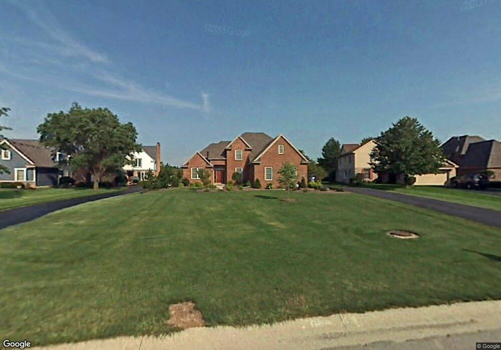
9574 Sheffield Rd Perrysburg, OH 43551
Belmont Farms NeighborhoodEstimated Value: $491,000 - $548,949
3
Beds
4
Baths
3,468
Sq Ft
$148/Sq Ft
Est. Value
About This Home
This home is located at 9574 Sheffield Rd, Perrysburg, OH 43551 and is currently estimated at $511,987, approximately $147 per square foot. 9574 Sheffield Rd is a home located in Wood County with nearby schools including Rossford Elementary School, Rossford Junior High School, and Rossford High School.
Ownership History
Date
Name
Owned For
Owner Type
Purchase Details
Closed on
Oct 15, 2004
Sold by
Port Lawrence Title & Trust Co
Bought by
Root Stanley P and Root Bridgett J
Current Estimated Value
Home Financials for this Owner
Home Financials are based on the most recent Mortgage that was taken out on this home.
Original Mortgage
$333,700
Outstanding Balance
$177,969
Interest Rate
5.89%
Mortgage Type
Construction
Estimated Equity
$334,018
Purchase Details
Closed on
Apr 17, 1985
Bought by
Port Lawrence Title
Create a Home Valuation Report for This Property
The Home Valuation Report is an in-depth analysis detailing your home's value as well as a comparison with similar homes in the area
Home Values in the Area
Average Home Value in this Area
Purchase History
| Date | Buyer | Sale Price | Title Company |
|---|---|---|---|
| Root Stanley P | $94,000 | -- | |
| Port Lawrence Title | -- | -- |
Source: Public Records
Mortgage History
| Date | Status | Borrower | Loan Amount |
|---|---|---|---|
| Open | Root Stanley P | $333,700 |
Source: Public Records
Tax History Compared to Growth
Tax History
| Year | Tax Paid | Tax Assessment Tax Assessment Total Assessment is a certain percentage of the fair market value that is determined by local assessors to be the total taxable value of land and additions on the property. | Land | Improvement |
|---|---|---|---|---|
| 2024 | $8,075 | $143,815 | $8,190 | $135,625 |
| 2023 | $8,075 | $143,820 | $8,190 | $135,630 |
| 2021 | $8,058 | $116,410 | $15,750 | $100,660 |
| 2020 | $8,116 | $116,410 | $15,750 | $100,660 |
| 2019 | $7,951 | $107,280 | $15,750 | $91,530 |
| 2018 | $7,949 | $107,280 | $15,750 | $91,530 |
| 2017 | $6,904 | $107,280 | $15,750 | $91,530 |
| 2016 | $7,209 | $96,150 | $15,750 | $80,400 |
| 2015 | $7,209 | $96,150 | $15,750 | $80,400 |
| 2014 | $5,568 | $96,150 | $15,750 | $80,400 |
| 2013 | $5,865 | $96,150 | $15,750 | $80,400 |
Source: Public Records
Map
Nearby Homes
- 9414 Sheffield Rd
- 9504 Sheffield Rd
- 9886 Ford Rd Unit 9886
- 9853 Mandell Rd
- 28902 Bates Rd
- 719 W Ironwood Dr
- 725 W Ironwood Dr
- 721 W Ironwood Dr
- 717 W Ironwood Dr
- 727 W Ironwood Dr
- 29918 Zachary Ln Unit 12
- 29964 Zachary Ln Unit 28
- 30039 Morningside Dr
- 11055 Riverbend Ct E
- 10154 Avenue Rd
- 28542 Simmons Rd
- 30332 Jacqueline Place
- 11131 Riverbend Ct W Unit 11131
- 1247 Grassy Ct
- 28741 White Rd
- 9592 Sheffield Rd
- 9594 Sheffield Rd
- 9558 Sheffield Rd
- 9556 Sheffield Rd
- 9610 Sheffield Rd
- 9540 Sheffield Rd
- 9538 Sheffield Rd
- 9577 Sheffield Rd
- 9628 Sheffield Rd
- 9603 Sheffield Rd
- 9551 Sheffield Rd
- 9522 Sheffield Rd
- 9525 Sheffield Rd
- 29060 Belmont Farm Rd
- 9601 Ford Rd
- 9502 Sheffield Rd
- 9618 Sheffield Rd
- 9478 Sheffield Rd
- 9656 Sheffield Rd
- 29078 Belmont Farm Rd