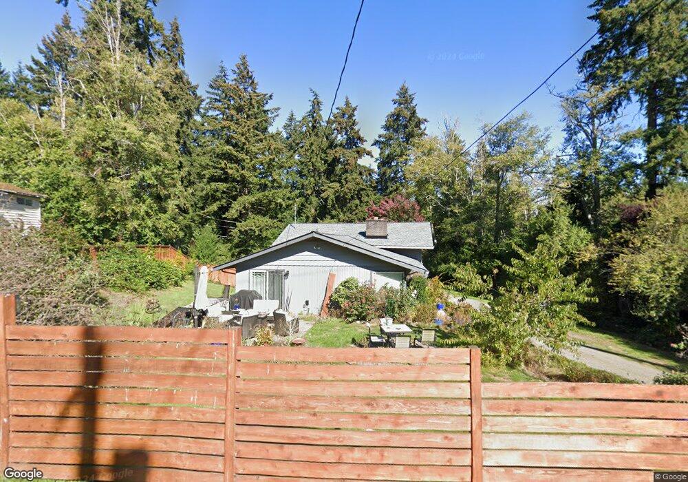
9577 Silverdale Loop Rd NW Silverdale, WA 98383
Estimated Value: $569,348 - $642,000
3
Beds
3
Baths
1,560
Sq Ft
$380/Sq Ft
Est. Value
About This Home
This home is located at 9577 Silverdale Loop Rd NW, Silverdale, WA 98383 and is currently estimated at $592,837, approximately $380 per square foot. 9577 Silverdale Loop Rd NW is a home located in Kitsap County with nearby schools including Silverdale Elementary School, Central Kitsap Middle School, and Central Kitsap High School.
Ownership History
Date
Name
Owned For
Owner Type
Purchase Details
Closed on
May 28, 2004
Sold by
Cole Carol Ann and Cole Carene Raquel
Bought by
Wilson Michael D and Wilson Carene R
Current Estimated Value
Home Financials for this Owner
Home Financials are based on the most recent Mortgage that was taken out on this home.
Original Mortgage
$118,500
Interest Rate
5.69%
Mortgage Type
New Conventional
Create a Home Valuation Report for This Property
The Home Valuation Report is an in-depth analysis detailing your home's value as well as a comparison with similar homes in the area
Home Values in the Area
Average Home Value in this Area
Purchase History
| Date | Buyer | Sale Price | Title Company |
|---|---|---|---|
| Wilson Michael D | -- | Transnation Title |
Source: Public Records
Mortgage History
| Date | Status | Borrower | Loan Amount |
|---|---|---|---|
| Closed | Wilson Michael D | $118,500 |
Source: Public Records
Tax History Compared to Growth
Tax History
| Year | Tax Paid | Tax Assessment Tax Assessment Total Assessment is a certain percentage of the fair market value that is determined by local assessors to be the total taxable value of land and additions on the property. | Land | Improvement |
|---|---|---|---|---|
| 2026 | $4,758 | $505,640 | $121,970 | $383,670 |
| 2025 | $4,758 | $505,640 | $121,970 | $383,670 |
| 2024 | $4,627 | $505,640 | $121,970 | $383,670 |
| 2023 | $4,258 | $462,300 | $134,860 | $327,440 |
| 2022 | $4,111 | $393,500 | $114,550 | $278,950 |
| 2021 | $3,970 | $361,850 | $104,800 | $257,050 |
| 2020 | $3,632 | $334,960 | $96,680 | $238,280 |
| 2019 | $3,476 | $310,450 | $89,370 | $221,080 |
| 2018 | $3,739 | $249,330 | $66,070 | $183,260 |
| 2017 | $3,198 | $249,330 | $66,070 | $183,260 |
| 2016 | $3,107 | $223,950 | $66,070 | $157,880 |
| 2015 | $2,975 | $223,950 | $66,070 | $157,880 |
| 2014 | -- | $211,260 | $66,070 | $145,190 |
| 2013 | -- | $211,260 | $66,070 | $145,190 |
Source: Public Records
Map
Nearby Homes
- 3831 NW Anderson Hill Rd
- 0 NW Anderson Hill Rd Unit NWM2348272
- 10183 Frontier Place NW
- 1111 NW Lowell St
- 9009 Martin Ave NW
- 3761 NW Highland Ct
- 8755 Shore Place NW
- 12812 Jammer Place NW
- 4460 NW Arriva Way
- 5112 NW Bear Paw Ct
- 10330 White Deer Place NW
- 8702 Schoolway Place NW
- 8147 Knute Ln NW
- 5021 NW Cedarside Loop
- 5052 NW Cedarside Loop
- 8194 Silverdale Way NW
- 5037 NW Cedarside Loop
- 5044 NW Cedarside Loop
- 5077 NW Cedarside Loop
- 5053 NW Cedarside Loop
- 9557 Silverdale Loop Rd NW
- 9585 Silverdale Loop Rd NW
- 9551 Silverdale Loop Rd NW
- 9556 Silverdale Loop Rd NW
- 9542 Silverdale Loop Rd NW
- 3763 NW Anderson Hill Rd
- 9546 Silverdale Loop Rd NW
- 9546 Silverdale Loop Rd NW Unit 1
- 3725 NW Anderson Hill Rd
- 9576 Silverdale Loop Rd NW
- 9595 Silverdale Loop Rd NW
- 3789 NW Anderson Hill Rd
- 9588 Silverdale Loop Rd NW
- 9532 Silverdale Loop Rd NW
- 3715 NW Anderson Hill Rd
- 3709 NW Anderson Hill Rd
- 9533 Silverdale Loop Rd NW
- 3675 NW Anderson Hill Rd
- 1973 NW Rustling Fir Ln
- 1928 NW Rustling Fir Ln