9579 SW Barron Rd Bentonville, AR 72713
Estimated Value: $307,000 - $382,000
5
Beds
1
Bath
1,144
Sq Ft
$301/Sq Ft
Est. Value
About This Home
This home is located at 9579 SW Barron Rd, Bentonville, AR 72713 and is currently estimated at $344,500, approximately $301 per square foot. 9579 SW Barron Rd is a home located in Benton County with nearby schools including Vaughn Elementary, Grimsley Junior High School, and Creekside Middle School.
Ownership History
Date
Name
Owned For
Owner Type
Purchase Details
Closed on
Feb 8, 2022
Sold by
Commissioner Of State Lands
Bought by
Ksbd Llc
Current Estimated Value
Purchase Details
Closed on
Jul 7, 2004
Bought by
Vang and Vang Pae
Purchase Details
Closed on
Feb 3, 1999
Bought by
Buchanan Livest-Darter
Purchase Details
Closed on
Oct 29, 1996
Bought by
Harral
Purchase Details
Closed on
Jan 6, 1994
Bought by
Harral and Buchanan
Create a Home Valuation Report for This Property
The Home Valuation Report is an in-depth analysis detailing your home's value as well as a comparison with similar homes in the area
Home Values in the Area
Average Home Value in this Area
Purchase History
| Date | Buyer | Sale Price | Title Company |
|---|---|---|---|
| Ksbd Llc | $2,390 | None Listed On Document | |
| Vang | $1,360,000 | -- | |
| Buchanan Livest-Darter | -- | -- | |
| Buchanan Livest-Darter 2P | $680,000 | -- | |
| Buchanan-Buchanan Livest 2P | -- | -- | |
| Buchanan Harral | -- | -- | |
| Harral | -- | -- | |
| Harral | $750,000 | -- |
Source: Public Records
Tax History Compared to Growth
Tax History
| Year | Tax Paid | Tax Assessment Tax Assessment Total Assessment is a certain percentage of the fair market value that is determined by local assessors to be the total taxable value of land and additions on the property. | Land | Improvement |
|---|---|---|---|---|
| 2025 | $814 | $14,476 | $76 | $14,400 |
| 2024 | $815 | $14,476 | $76 | $14,400 |
| 2023 | $815 | $14,470 | $70 | $14,400 |
| 2022 | $836 | $14,470 | $70 | $14,400 |
| 2021 | $760 | $14,470 | $70 | $14,400 |
| 2020 | $697 | $16,250 | $70 | $16,180 |
| 2019 | $651 | $16,250 | $70 | $16,180 |
| 2018 | $604 | $16,250 | $70 | $16,180 |
| 2017 | $558 | $16,250 | $70 | $16,180 |
| 2016 | $494 | $16,250 | $70 | $16,180 |
| 2015 | $449 | $7,980 | $60 | $7,920 |
| 2014 | -- | $7,980 | $60 | $7,920 |
Source: Public Records
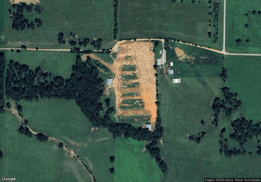
Map
Nearby Homes
- 6404 SW High Meadow Blvd
- 7101 SW Basswood Ave
- 6908 SW Basswood Ave
- 7001 SW Basswood Ave
- 7004 SW Basswood Ave
- 6907 SW Basswood Ave
- 6910 SW Basswood Ave
- 6702 SW Acacia St
- 6905 SW Basswood Ave
- 7008 SW Basswood Ave
- 7002 SW Basswood Ave
- 6900 SW Basswood Ave
- 6901 SW Basswood Ave
- 6902 SW Basswood Ave
- 6909 SW Basswood Ave
- 7005 SW Basswood Ave
- 7009 SW High Meadow Blvd
- 7003 SW High Meadow Blvd
- 7005 SW High Meadow Blvd
- 6909 SW High Meadow Blvd
- 9579 SW Barron Rd
- 9753 SW Barron Rd
- 1403 Falkirk Ave
- 1504 Falkirk Ave
- 1500 Falkirk Ave
- 960 Little Osage Ave
- 1401 SW Falkirk
- Tract 1-A SW Lee Harris Rd
- Tract C-1AC SW Regional Airport Blvd
- Tract A-9.02AC SW Regional Airport Blvd
- Tract D-1AC SW Regional Airport Blvd
- Tract 2-A SW Lee Harris Rd
- Tract B-1AC SW Regional Airport Blvd
- 7447 SW Lee Harris Rd
- 7376 SW Lee Harris Rd
- 7431 SW Lee Harris Rd
- 7431 SW Lee Harris Rd
- 7355 SW Lee Harris Rd
- 9317 Lee Harris Rd
- 2024 NE Norris Rd