958 Beachfront Dr Painesville, OH 44077
Estimated Value: $243,135 - $256,000
3
Beds
2
Baths
1,472
Sq Ft
$170/Sq Ft
Est. Value
About This Home
This home is located at 958 Beachfront Dr, Painesville, OH 44077 and is currently estimated at $250,784, approximately $170 per square foot. 958 Beachfront Dr is a home located in Lake County with nearby schools including Henry F. Lamuth Middle School, Riverside Junior/Senior High School, and Summit Academy Community School - Painesville.
Ownership History
Date
Name
Owned For
Owner Type
Purchase Details
Closed on
Dec 31, 2007
Sold by
Lake County Community Development Corp
Bought by
Colquitt Carol and Colquitt Jennie E
Current Estimated Value
Home Financials for this Owner
Home Financials are based on the most recent Mortgage that was taken out on this home.
Original Mortgage
$125,500
Outstanding Balance
$79,835
Interest Rate
6.31%
Mortgage Type
Purchase Money Mortgage
Estimated Equity
$170,949
Create a Home Valuation Report for This Property
The Home Valuation Report is an in-depth analysis detailing your home's value as well as a comparison with similar homes in the area
Home Values in the Area
Average Home Value in this Area
Purchase History
| Date | Buyer | Sale Price | Title Company |
|---|---|---|---|
| Colquitt Carol | $161,000 | Chicago Title Insurance Co |
Source: Public Records
Mortgage History
| Date | Status | Borrower | Loan Amount |
|---|---|---|---|
| Open | Colquitt Carol | $125,500 | |
| Closed | Colquitt Carol | $15,000 |
Source: Public Records
Tax History Compared to Growth
Tax History
| Year | Tax Paid | Tax Assessment Tax Assessment Total Assessment is a certain percentage of the fair market value that is determined by local assessors to be the total taxable value of land and additions on the property. | Land | Improvement |
|---|---|---|---|---|
| 2024 | -- | $80,030 | $8,020 | $72,010 |
| 2023 | $5,780 | $53,040 | $6,400 | $46,640 |
| 2022 | $2,716 | $53,040 | $6,400 | $46,640 |
| 2021 | $2,617 | $53,040 | $6,400 | $46,640 |
| 2020 | $2,503 | $46,130 | $5,570 | $40,560 |
| 2019 | $2,522 | $46,130 | $5,570 | $40,560 |
| 2018 | $2,496 | $44,050 | $5,220 | $38,830 |
| 2017 | $2,462 | $44,050 | $5,220 | $38,830 |
| 2016 | $2,169 | $44,050 | $5,220 | $38,830 |
| 2015 | $2,020 | $44,050 | $5,220 | $38,830 |
| 2014 | $2,054 | $44,050 | $5,220 | $38,830 |
| 2013 | $2,007 | $44,050 | $5,220 | $38,830 |
Source: Public Records
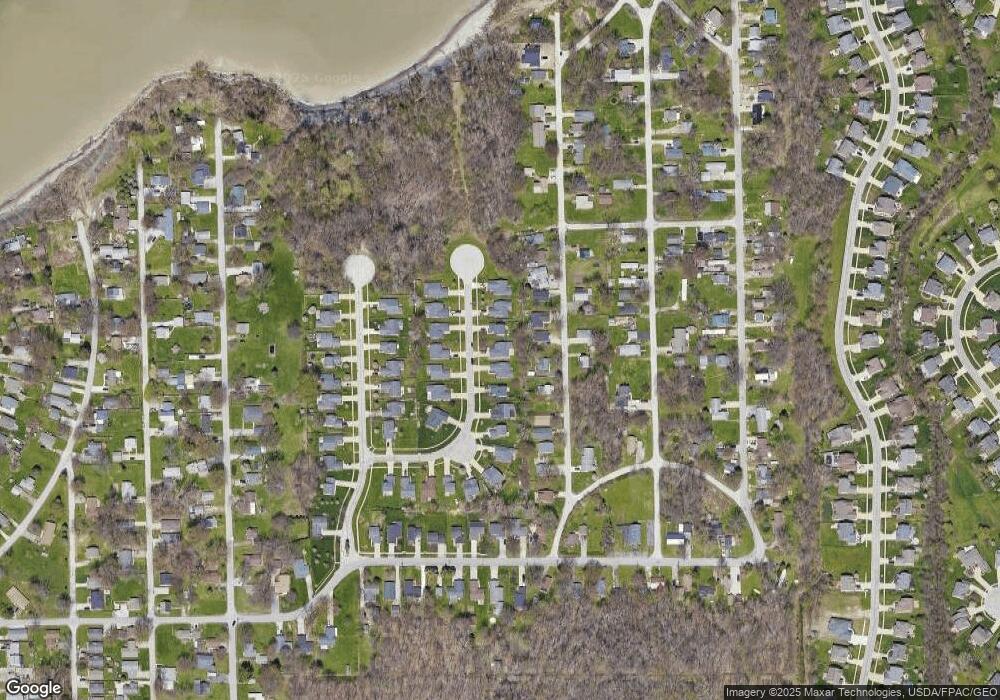
Map
Nearby Homes
- 961 Beachfront Dr
- 960 Robinhood Ave
- 988 Oakwood Blvd
- 124 Kenilworth Ave
- 1006 Robinhood Ave
- 0 Bellevue Ave Unit 5152736
- 125 Sycamore Dr
- 0 Fremont Ave Unit 5152717
- 856 Beech Ave
- 1679 Duffton Ln
- 1719 Duffton Ln
- 751 Bacon Rd
- 1806 Muirfield Ln
- 1791 Muirfield Ln
- 547 Greenside Dr
- 1865 Marsh Ln Unit 1865
- 1978 Marsh Ln Unit 1978
- 499 Sand Trap Cir
- 720 N Creek Dr
- 1598 Bogie Ln
- 962 Beachfront Dr
- 952 Beachfront Dr
- 946 Beachfront Dr
- 968 Beachfront Dr
- 919 Robinhood Ave
- 907 Robinhood Ave
- 907 Robinhood Dr
- 925 Robinhood Ave
- 959 Beachfront Dr
- 972 Beachfront Dr
- 955 Beachfront Dr
- 942 Beachfront Dr
- 899 Robinhood Ave
- 947 Beachfront Dr
- 931 Robinhood Ave
- 965 Beachfront Dr
- 938 Beachfront Dr
- 897 Robinhood Ave
- 975 Beachfront Dr
- 935 Robinhood Ave