958 Highway 9 S Dawsonville, GA 30534
Dawson County NeighborhoodEstimated Value: $363,470 - $428,000
3
Beds
2
Baths
1,645
Sq Ft
$232/Sq Ft
Est. Value
About This Home
This home is located at 958 Highway 9 S, Dawsonville, GA 30534 and is currently estimated at $381,868, approximately $232 per square foot. 958 Highway 9 S is a home located in Dawson County with nearby schools including Riverview Elementary School, Dawson County Junior High School, and Dawson County Middle School.
Ownership History
Date
Name
Owned For
Owner Type
Purchase Details
Closed on
May 4, 2021
Sold by
Hanes Timothy A and Hanes Lori A
Bought by
Hanes Timothy A and Hanes Lori A
Current Estimated Value
Purchase Details
Closed on
Oct 27, 2000
Sold by
Hamby Rich and Hamby Ledena
Bought by
Hanes Timothy A and Hanes Lo
Purchase Details
Closed on
Jun 14, 1991
Sold by
Henson Homer and Henson Genev
Bought by
Hamby Rich and Hamby Ledena
Create a Home Valuation Report for This Property
The Home Valuation Report is an in-depth analysis detailing your home's value as well as a comparison with similar homes in the area
Home Values in the Area
Average Home Value in this Area
Purchase History
| Date | Buyer | Sale Price | Title Company |
|---|---|---|---|
| Hanes Timothy A | -- | None Available | |
| Hanes Timothy A | $119,900 | -- | |
| Hamby Rich | -- | -- |
Source: Public Records
Tax History Compared to Growth
Tax History
| Year | Tax Paid | Tax Assessment Tax Assessment Total Assessment is a certain percentage of the fair market value that is determined by local assessors to be the total taxable value of land and additions on the property. | Land | Improvement |
|---|---|---|---|---|
| 2024 | $2,123 | $133,240 | $15,320 | $117,920 |
| 2023 | $2,134 | $130,560 | $11,480 | $119,080 |
| 2022 | $1,880 | $89,768 | $8,960 | $80,808 |
| 2021 | $1,752 | $77,448 | $8,960 | $68,488 |
| 2020 | $1,797 | $75,928 | $9,560 | $66,368 |
| 2019 | $1,625 | $68,088 | $9,560 | $58,528 |
| 2018 | $1,628 | $68,088 | $9,560 | $58,528 |
| 2017 | $1,381 | $57,750 | $8,018 | $49,732 |
| 2016 | $1,314 | $54,945 | $8,018 | $46,927 |
| 2015 | $1,267 | $51,347 | $7,296 | $44,051 |
| 2014 | $980 | $38,471 | $7,296 | $31,175 |
| 2013 | -- | $33,247 | $7,296 | $25,951 |
Source: Public Records
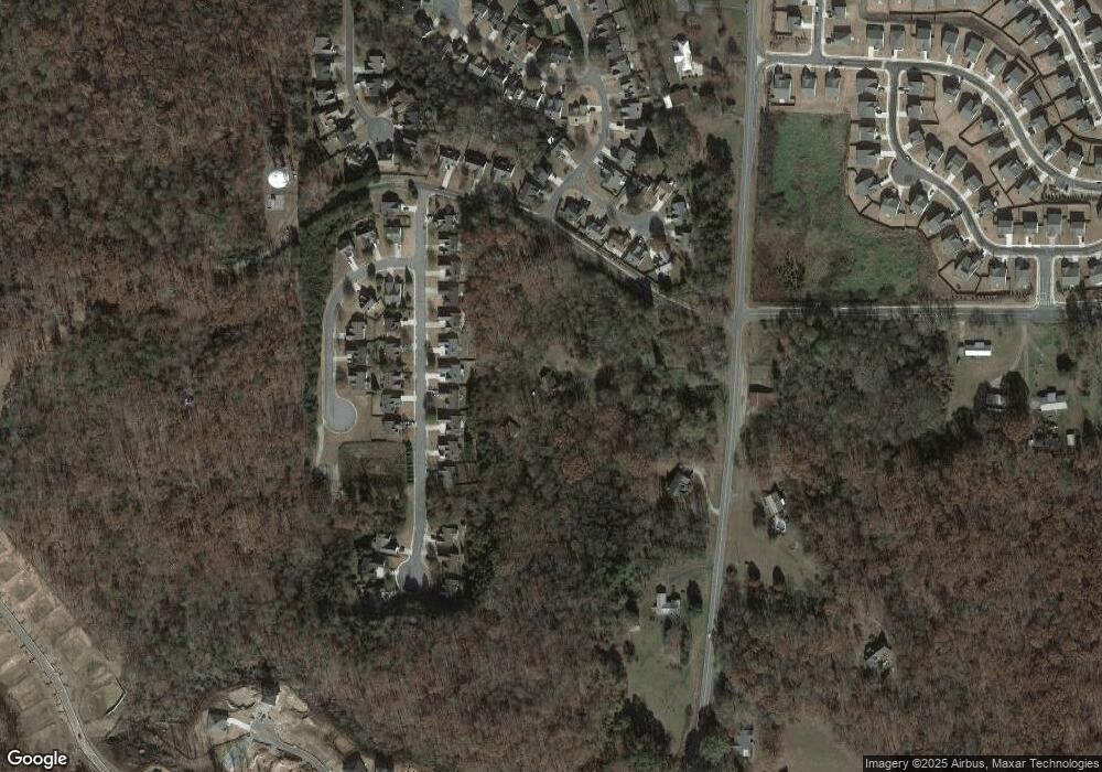
Map
Nearby Homes
- 91 Crockett Dr
- 176 J C Burt Rd
- 399 Burts Crossing Dr
- 95 Ridge Water Ln
- 15 Parks Trail
- 21 Shepard Dr
- 284 Thunder Valley
- 653 Highway 9 S
- 270 Shepard Dr
- 17 Swift Creek Dr
- 75 Pearl Chambers Dr
- 10 Pearl Chambers Dr
- 127 Angela Ln
- 15 Pearl Chambers Dr
- 163 Richmond Dr
- The Lawrence Plan at The Village at Maple Street
- 113 Nashport Ln
- 125 Nashport Ln
- 125 Nashport Ln Unit 23
- 95 Nashport Ln
- 137 Nashport Ln
- 137 Nashport Ln Unit 22
- 81 Nashport Ln
- 153 Nashport Ln
- 67 Nashport Ln
- 1014 Highway 9 S
- 55 Nashport Ln
- 128 Nashport Ln
- 102 Nashport Ln
- 976 Highway 9 S
- 185 Nashport Ln
- 97 J C Burt Rd
- 82 Nashport Ln
- 39 Nashport Ln
- 34 Winding Creek Ct
- 70 Nashport Ln Unit 10