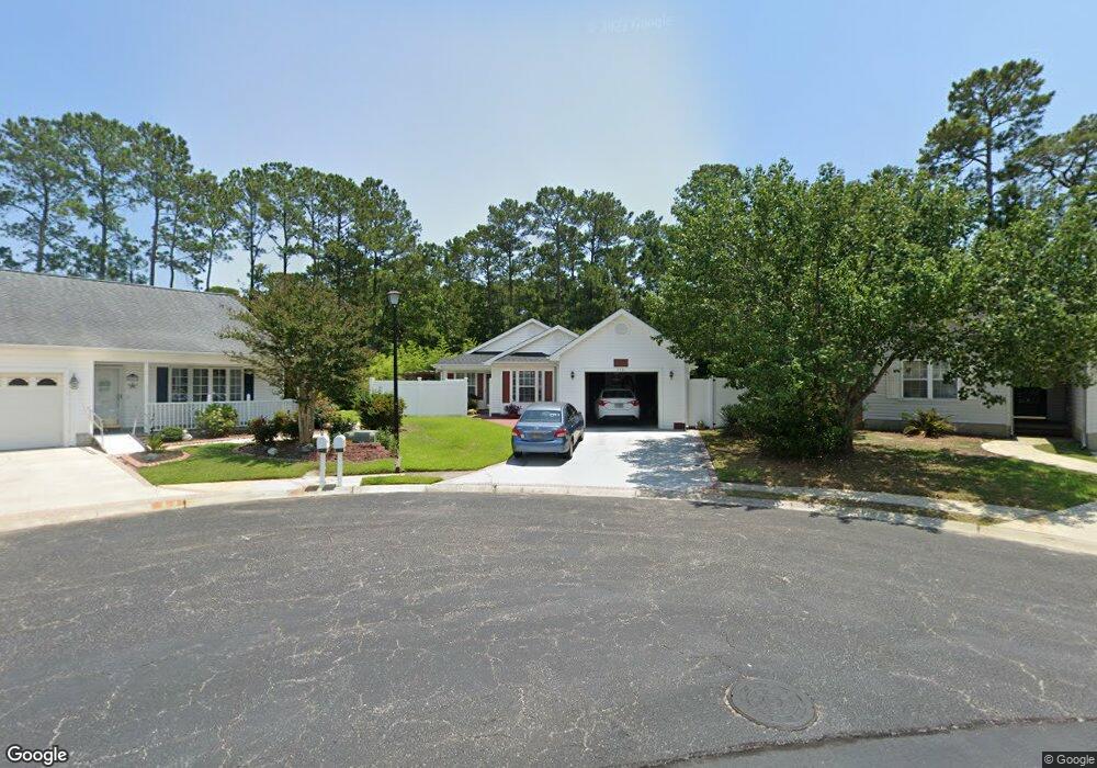
9581 Sullivan Dr Murrells Inlet, SC 29576
Burgess NeighborhoodEstimated Value: $260,000 - $315,000
2
Beds
2
Baths
1,616
Sq Ft
$178/Sq Ft
Est. Value
About This Home
This home is located at 9581 Sullivan Dr, Murrells Inlet, SC 29576 and is currently estimated at $287,174, approximately $177 per square foot. 9581 Sullivan Dr is a home located in Horry County with nearby schools including St. James Elementary School, St. James Intermediate, and St. James High School.
Ownership History
Date
Name
Owned For
Owner Type
Purchase Details
Closed on
Feb 23, 2011
Sold by
Avery Joellyn Simpson
Bought by
Lindquist Sheryl R
Current Estimated Value
Purchase Details
Closed on
Jun 8, 2010
Sold by
Campbell Dena H
Bought by
Tabor Carol
Purchase Details
Closed on
Jul 26, 2002
Sold by
Brownlee Joanne
Bought by
Intercoastal Development Inc
Purchase Details
Closed on
Jun 23, 1998
Sold by
Intercoastal Development Inc
Bought by
Campbell Dena H
Home Financials for this Owner
Home Financials are based on the most recent Mortgage that was taken out on this home.
Original Mortgage
$69,600
Interest Rate
7.04%
Mortgage Type
Balloon
Create a Home Valuation Report for This Property
The Home Valuation Report is an in-depth analysis detailing your home's value as well as a comparison with similar homes in the area
Home Values in the Area
Average Home Value in this Area
Purchase History
| Date | Buyer | Sale Price | Title Company |
|---|---|---|---|
| Lindquist Sheryl R | $116,700 | -- | |
| Tabor Carol | -- | -- | |
| Intercoastal Development Inc | -- | -- | |
| Campbell Dena H | $87,000 | -- |
Source: Public Records
Mortgage History
| Date | Status | Borrower | Loan Amount |
|---|---|---|---|
| Previous Owner | Campbell Dena H | $69,600 |
Source: Public Records
Tax History
| Year | Tax Paid | Tax Assessment Tax Assessment Total Assessment is a certain percentage of the fair market value that is determined by local assessors to be the total taxable value of land and additions on the property. | Land | Improvement |
|---|---|---|---|---|
| 2025 | -- | $0 | $0 | $0 |
| 2024 | -- | $10,891 | $3,820 | $7,071 |
| 2023 | $0 | $6,406 | $1,246 | $5,160 |
| 2021 | $468 | $7,235 | $1,515 | $5,720 |
| 2020 | $399 | $7,235 | $1,515 | $5,720 |
| 2019 | $560 | $7,235 | $1,515 | $5,720 |
| 2018 | $0 | $5,712 | $1,080 | $4,632 |
| 2017 | $0 | $5,712 | $1,080 | $4,632 |
| 2016 | $0 | $5,712 | $1,080 | $4,632 |
| 2015 | -- | $5,713 | $1,081 | $4,632 |
| 2014 | $426 | $5,713 | $1,081 | $4,632 |
Source: Public Records
Map
Nearby Homes
- 9533 Sullivan Dr
- 300 Nut Hatch Ln Unit D
- 380 Emery Oak Dr
- 301 Nut Hatch Ln Unit D
- 1088 Vestry Dr
- 372 Emery Oak Dr
- 219 Pin Oak Dr
- 308 Emery Oak Dr
- 624 Indigo Bunting Ln Unit C
- 320 Emery Oak Dr Unit 320 Emery Oak Drive
- 751 Painted Bunting Dr Unit E
- 328 Emery Oak Dr
- 340 Emery Oak Dr
- 430 Woodpecker Ln Unit D
- 107 Chenoa Dr Unit A
- 281 Outboard Dr
- 119 Chenoa Dr Unit 4D
- 168 Wimbledon Way
- 144 Wimbledon Way
- 131 Chenoa Dr Unit D
- 9577 Sullivan Dr
- 9585 Sullivan Dr
- 1024 Vestry Dr
- 1028 Vestry Dr
- 1020 Vestry Dr
- 9573 Sullivan Dr
- 9589 Sullivan Dr
- 1032 Vestry Dr
- 1016 Vestry Dr
- 9593 Sullivan Dr
- 9590 Sullivan Dr
- 9569 Sullivan Dr
- 0 Highway 707 Unit 2306941
- 0 Highway 707 Unit 2203742
- 1036 Vestry Dr
- 9566 Sullivan Dr
- 9597 Sullivan Dr
- 9565 Sullivan Dr
- 1029 Vestry Dr
- 1101 Lampwick Ln
Your Personal Tour Guide
Ask me questions while you tour the home.