9584 W Highway 70 Durant, OK 74701
Estimated Value: $99,000 - $326,000
5
Beds
2
Baths
1,782
Sq Ft
$134/Sq Ft
Est. Value
About This Home
This home is located at 9584 W Highway 70, Durant, OK 74701 and is currently estimated at $239,333, approximately $134 per square foot. 9584 W Highway 70 is a home located in Bryan County with nearby schools including Northwest Heights Elementary School, Durant Intermediate Elementary School, and Durant Middle School.
Ownership History
Date
Name
Owned For
Owner Type
Purchase Details
Closed on
Nov 8, 2016
Sold by
Roberts Renea and Roberts Terry
Bought by
Lehr John and Lehr Joanne
Current Estimated Value
Home Financials for this Owner
Home Financials are based on the most recent Mortgage that was taken out on this home.
Original Mortgage
$29,573
Interest Rate
3.54%
Mortgage Type
Purchase Money Mortgage
Purchase Details
Closed on
Jun 8, 2005
Sold by
Goad Ronald Dale and Goad Lahoma Gail
Bought by
Roberts Renea
Purchase Details
Closed on
Jul 2, 1999
Sold by
Burns Audrey L
Bought by
Roberts Renea
Purchase Details
Closed on
Feb 27, 1998
Sold by
Burns Lonford and Burns Audrey
Bought by
Burns Audrey L
Create a Home Valuation Report for This Property
The Home Valuation Report is an in-depth analysis detailing your home's value as well as a comparison with similar homes in the area
Home Values in the Area
Average Home Value in this Area
Purchase History
| Date | Buyer | Sale Price | Title Company |
|---|---|---|---|
| Lehr John | $40,000 | None Available | |
| Roberts Renea | $40,000 | None Available | |
| Roberts Renea | $58,000 | -- | |
| Burns Audrey L | -- | -- |
Source: Public Records
Mortgage History
| Date | Status | Borrower | Loan Amount |
|---|---|---|---|
| Closed | Lehr John | $29,573 |
Source: Public Records
Tax History Compared to Growth
Tax History
| Year | Tax Paid | Tax Assessment Tax Assessment Total Assessment is a certain percentage of the fair market value that is determined by local assessors to be the total taxable value of land and additions on the property. | Land | Improvement |
|---|---|---|---|---|
| 2025 | $856 | $10,088 | $1,727 | $8,361 |
| 2024 | $856 | $9,794 | $1,727 | $8,067 |
| 2023 | $856 | $9,509 | $1,727 | $7,782 |
| 2022 | $773 | $9,232 | $1,727 | $7,505 |
| 2021 | $784 | $9,151 | $1,669 | $7,482 |
| 2020 | $757 | $8,884 | $1,479 | $7,405 |
| 2019 | $691 | $8,625 | $1,295 | $7,330 |
| 2018 | $663 | $8,374 | $1,295 | $7,079 |
| 2017 | $649 | $8,271 | $1,295 | $6,976 |
| 2016 | $733 | $8,136 | $1,075 | $7,061 |
| 2015 | $730 | $8,136 | $1,075 | $7,061 |
| 2014 | $702 | $7,831 | $770 | $7,061 |
Source: Public Records
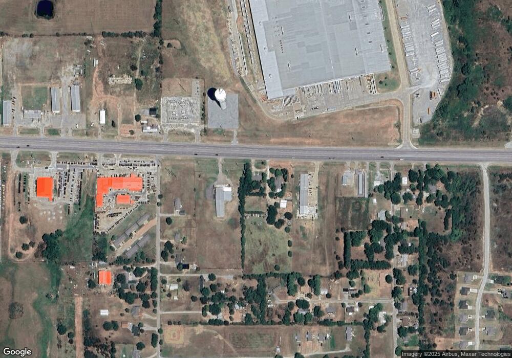
Map
Nearby Homes
- 823 Stoney Bridge Way
- 0 W Highway 70
- 379 Madison St
- 10499 W Highway 70
- 001 Madison Ave
- 5810 Benelli Blvd
- 0 Hwy 70 Rd Unit 2523282
- 849 Beretta Blvd
- 841 Annas Way
- 6063 Wilson St
- 752 Annas Way
- 1407 Colt Dr
- 6065 Wilson St
- 5923 Wilson St
- 5521 Kimberly Rd
- 000 University
- 6735 Wilson St
- 5218 Kimberly Rd
- 1803 Silo Rd
- 327 Wilson Pkwy
- 9536 W Highway 70
- 77 Fisher Station Rd
- 107 Fisher Station Rd
- 135 Fisher Station Rd
- 104 Apple Ln
- 151 Fisher Station Rd
- 90 Apple Ln
- 110 Cherry Ln
- 97 Apple Ln
- 45 Cherry Ln
- 52 Apple Ln
- 2002 Cherry Ln
- 65 Cherry Ln
- 142 Cherry Ln
- 830000 Cherry Ln
- 119 Cherry Ln
- 55 Apple Ln
- 109 Cherry Ln
- 170 Fisher Station Rd
- 139 Cherry Ln