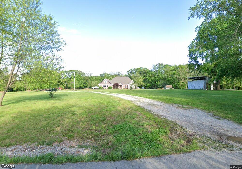
9588 Wpa Rd Gentry, AR 72734
Estimated Value: $462,000 - $782,424
Studio
1
Bath
3,129
Sq Ft
$195/Sq Ft
Est. Value
About This Home
This home is located at 9588 Wpa Rd, Gentry, AR 72734 and is currently estimated at $609,475, approximately $194 per square foot. 9588 Wpa Rd is a home with nearby schools including Gentry Intermediate School, Gentry Primary School, and Gentry Middle School.
Ownership History
Date
Name
Owned For
Owner Type
Purchase Details
Closed on
Oct 13, 2006
Sold by
John Brown University
Bought by
Young Janie L
Current Estimated Value
Home Financials for this Owner
Home Financials are based on the most recent Mortgage that was taken out on this home.
Original Mortgage
$55,690
Interest Rate
6.41%
Mortgage Type
Purchase Money Mortgage
Purchase Details
Closed on
Apr 11, 2006
Sold by
Holcomb Beverly J
Bought by
John Brown University
Purchase Details
Closed on
Dec 3, 1997
Bought by
Holcomb Tr
Purchase Details
Closed on
Sep 20, 1983
Bought by
Holcomb
Create a Home Valuation Report for This Property
The Home Valuation Report is an in-depth analysis detailing your home's value as well as a comparison with similar homes in the area
Purchase History
| Date | Buyer | Sale Price | Title Company |
|---|---|---|---|
| Young Janie L | $85,000 | Waco Title Company | |
| John Brown University | -- | Waco Title Company | |
| Holcomb Tr | -- | -- | |
| Holcomb | $10,000 | -- |
Source: Public Records
Mortgage History
| Date | Status | Borrower | Loan Amount |
|---|---|---|---|
| Closed | Young Janie L | $55,690 |
Source: Public Records
Tax History
| Year | Tax Paid | Tax Assessment Tax Assessment Total Assessment is a certain percentage of the fair market value that is determined by local assessors to be the total taxable value of land and additions on the property. | Land | Improvement |
|---|---|---|---|---|
| 2025 | $3,698 | $133,114 | $31,718 | $101,396 |
| 2024 | $3,611 | $133,114 | $31,718 | $101,396 |
| 2023 | $3,611 | $85,260 | $6,610 | $78,650 |
| 2022 | $3,300 | $85,260 | $6,610 | $78,650 |
| 2021 | $3,124 | $85,260 | $6,610 | $78,650 |
| 2020 | $2,960 | $62,800 | $8,120 | $54,680 |
| 2019 | $2,960 | $62,800 | $8,120 | $54,680 |
| 2018 | $2,985 | $62,800 | $8,120 | $54,680 |
| 2017 | $2,985 | $62,800 | $8,120 | $54,680 |
| 2016 | $2,985 | $62,800 | $8,120 | $54,680 |
| 2015 | $3,318 | $66,360 | $5,660 | $60,700 |
| 2014 | $2,968 | $66,360 | $5,660 | $60,700 |
Source: Public Records
Map
Nearby Homes
- 21743 Bozarth Cemetery Rd
- 159 Acres MOL Safari Rd
- 21854 Floyd Moore Rd
- 22.56 Acres Floyd Moore Rd
- TBD west Floyd Moore Rd
- . Floyd Moore Rd
- 9586 Browning Rd
- 11013 Wpa Rd
- TBD N Bloomfield Rd
- 0 Y City Rd Unit 1301343
- 0 Columbia Hollow Rd Unit 1334073
- 21609 Gann Rd
- 22844 Floyd Moore Rd
- 0 W Hwy 12 Unit 1333344
- 505 N Collins Ave Unit A & B
- 800 Buffalo Ave
- 503 W Arkansas St
- 27.43 Acres on Falling Springs Rd
- 904 W Main St
- 104 N Pine Ave
- 9618 Wpa Rd
- 9557 Wpa Rd
- 9491 Wpa Rd
- 9426 Wpa Rd
- 9426 Wpa Rd
- 9426 Wpa Rd
- 9705 Wpa Rd
- 9394 Wilmoth Cir
- 9738 Wpa Rd
- 9426 Wpa Rd
- 9890 Wpa Rd
- 9890 Wpa Rd
- 9553 Wilmoth Cir
- 9220 Wpa Rd
- 9173 Wpa Rd
- 0 Wilmoth Cir Unit 478544
- 0 Wilmoth Cir Unit 494352
- 0 Wilmoth Cir Unit 417664
- 0 Wilmoth Cir Unit 719997
- 0 Wilmoth Cir Unit 733773
Your Personal Tour Guide
Ask me questions while you tour the home.