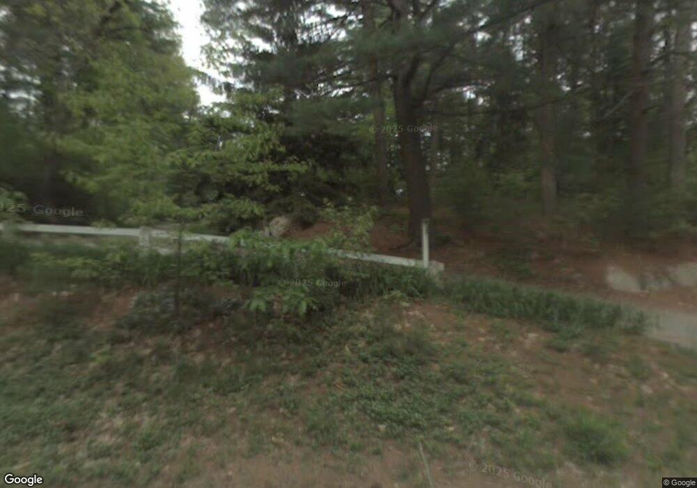
959 East St Carlisle, MA 01741
Estimated Value: $902,177 - $1,261,000
3
Beds
3
Baths
1,920
Sq Ft
$557/Sq Ft
Est. Value
About This Home
This home is located at 959 East St, Carlisle, MA 01741 and is currently estimated at $1,070,294, approximately $557 per square foot. 959 East St is a home located in Middlesex County with nearby schools including Carlisle School.
Ownership History
Date
Name
Owned For
Owner Type
Purchase Details
Closed on
Oct 14, 2009
Sold by
Newman David A and Merrill Angela R
Bought by
Jamison Rachel and Svatek Wendy J
Current Estimated Value
Home Financials for this Owner
Home Financials are based on the most recent Mortgage that was taken out on this home.
Original Mortgage
$417,000
Outstanding Balance
$272,023
Interest Rate
5.14%
Mortgage Type
Purchase Money Mortgage
Estimated Equity
$798,271
Purchase Details
Closed on
Jul 19, 2001
Sold by
Pedersen Kevin G and Pedersen Dorothy H
Bought by
Newman David A and Merrill Angela R
Home Financials for this Owner
Home Financials are based on the most recent Mortgage that was taken out on this home.
Original Mortgage
$275,000
Interest Rate
7.2%
Mortgage Type
Purchase Money Mortgage
Create a Home Valuation Report for This Property
The Home Valuation Report is an in-depth analysis detailing your home's value as well as a comparison with similar homes in the area
Home Values in the Area
Average Home Value in this Area
Purchase History
| Date | Buyer | Sale Price | Title Company |
|---|---|---|---|
| Jamison Rachel | $572,900 | -- | |
| Newman David A | $475,000 | -- |
Source: Public Records
Mortgage History
| Date | Status | Borrower | Loan Amount |
|---|---|---|---|
| Open | Jamison Rachel | $417,000 | |
| Previous Owner | Newman David A | $427,500 | |
| Previous Owner | Newman David A | $275,000 | |
| Previous Owner | Newman David A | $33,000 | |
| Previous Owner | Newman David A | $85,000 |
Source: Public Records
Tax History Compared to Growth
Tax History
| Year | Tax Paid | Tax Assessment Tax Assessment Total Assessment is a certain percentage of the fair market value that is determined by local assessors to be the total taxable value of land and additions on the property. | Land | Improvement |
|---|---|---|---|---|
| 2025 | $10,796 | $819,100 | $544,500 | $274,600 |
| 2024 | $10,289 | $771,900 | $500,900 | $271,000 |
| 2023 | $10,765 | $760,800 | $500,900 | $259,900 |
| 2022 | $10,713 | $649,300 | $413,800 | $235,500 |
| 2021 | $10,571 | $649,300 | $413,800 | $235,500 |
| 2020 | $10,227 | $557,000 | $326,700 | $230,300 |
| 2019 | $10,056 | $549,800 | $326,700 | $223,100 |
| 2018 | $9,990 | $549,800 | $326,700 | $223,100 |
| 2017 | $9,635 | $546,800 | $326,700 | $220,100 |
| 2016 | $9,405 | $546,800 | $326,700 | $220,100 |
| 2015 | $9,016 | $474,500 | $313,600 | $160,900 |
| 2014 | $8,845 | $474,500 | $313,600 | $160,900 |
Source: Public Records
Map
Nearby Homes
- 383 E Riding Dr
- 373 E Riding Dr
- 282 Brook St
- 4 Dove Ln
- 63 Outlook Rd
- 43 Outlook Rd
- 6 Edgehill Rd
- 198 Nashua Rd
- 3 Kay's Walk
- 15 Kay's Walk
- 1 Kay's Walk Unit 1
- 1 Kay's Walk
- 13 Kay's Walk
- 15 Kay's Walk Unit 4
- 3 Kay's Walk Unit 3
- 125 Maple St
- 8 Kay's Walk Unit 13
- 14 Kay's Walk
- 6 Kay's Walk Unit 6
- 6 Kay's Walk
- 31 Laurelwood Dr
- 915 East St
- 13 Milne Cove Rd
- 40 Laurelwood Dr
- 40 Laurelwood Dr
- 40 Laurelwood Dr
- 907 East St
- 24 Milne Cove Rd
- 1004 East St
- 76 Laurelwood Dr
- 883 East St
- 49 Milne Cove Rd
- 1018 East St
- 33 Hemlock Hill Rd
- 1006 East St
- 35 Milne Cove Rd
- 1034 East St
- 1008 East St
- 94 Laurelwood Dr
- 45 Hemlock Hill Rd
