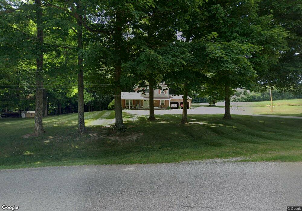
959 Koogle Rd Mansfield, OH 44903
Estimated Value: $310,000 - $355,237
3
Beds
1
Bath
2,416
Sq Ft
$140/Sq Ft
Est. Value
About This Home
This home is located at 959 Koogle Rd, Mansfield, OH 44903 and is currently estimated at $339,059, approximately $140 per square foot. 959 Koogle Rd is a home located in Richland County with nearby schools including Madison High School and St. Mary Catholic School.
Ownership History
Date
Name
Owned For
Owner Type
Purchase Details
Closed on
May 28, 2025
Sold by
Mills Garry and Mills Deloris
Bought by
Mills Cory R
Current Estimated Value
Home Financials for this Owner
Home Financials are based on the most recent Mortgage that was taken out on this home.
Original Mortgage
$270,000
Outstanding Balance
$269,310
Interest Rate
6.83%
Mortgage Type
New Conventional
Estimated Equity
$69,749
Purchase Details
Closed on
May 8, 2006
Sold by
Mills Deloris and Mills Delores
Bought by
Mills Garry
Purchase Details
Closed on
Nov 30, 1992
Bought by
Mills Garry
Create a Home Valuation Report for This Property
The Home Valuation Report is an in-depth analysis detailing your home's value as well as a comparison with similar homes in the area
Home Values in the Area
Average Home Value in this Area
Purchase History
| Date | Buyer | Sale Price | Title Company |
|---|---|---|---|
| Mills Cory R | $337,500 | Patriot Title Agency | |
| Mills Cory R | $337,500 | Patriot Title Agency | |
| Mills Garry | -- | None Available | |
| Mills Garry | $35,000 | -- |
Source: Public Records
Mortgage History
| Date | Status | Borrower | Loan Amount |
|---|---|---|---|
| Open | Mills Cory R | $270,000 | |
| Closed | Mills Cory R | $270,000 |
Source: Public Records
Tax History Compared to Growth
Tax History
| Year | Tax Paid | Tax Assessment Tax Assessment Total Assessment is a certain percentage of the fair market value that is determined by local assessors to be the total taxable value of land and additions on the property. | Land | Improvement |
|---|---|---|---|---|
| 2024 | $3,654 | $72,100 | $19,960 | $52,140 |
| 2023 | $3,654 | $72,100 | $19,960 | $52,140 |
| 2022 | $2,768 | $50,250 | $16,000 | $34,250 |
| 2021 | $2,766 | $50,250 | $16,000 | $34,250 |
| 2020 | $2,788 | $50,250 | $16,000 | $34,250 |
| 2019 | $2,516 | $42,320 | $13,440 | $28,880 |
| 2018 | $2,494 | $42,320 | $13,440 | $28,880 |
| 2017 | $2,448 | $42,320 | $13,440 | $28,880 |
| 2016 | $2,389 | $40,330 | $12,770 | $27,560 |
| 2015 | $2,389 | $40,330 | $12,770 | $27,560 |
| 2014 | $2,341 | $40,330 | $12,770 | $27,560 |
| 2012 | $1,129 | $42,450 | $13,440 | $29,010 |
Source: Public Records
Map
Nearby Homes
- 2750 Lutz Ave
- 0 Satinwood Dr
- 630 Impala Dr
- 598 Impala Dr
- 2270 Lakecrest Dr Unit 2272
- 640 Running Brook Way
- 0 Peterson Rd
- 0 McBride Road Parcel # 1 Unit 9066028
- 609 Mcbride Rd
- 2307 Peterson Rd
- 1910 Crider Rd
- 1997 Hout Rd
- 1951 Woodmont Rd
- 1806 Richard Dr
- 19 Maine St
- 2202 Lakewood Dr
- 1767 State Route 603
- 76 Ford Rd N
- 76 Ford Rd N Unit 20
- 1628 Park Ave E