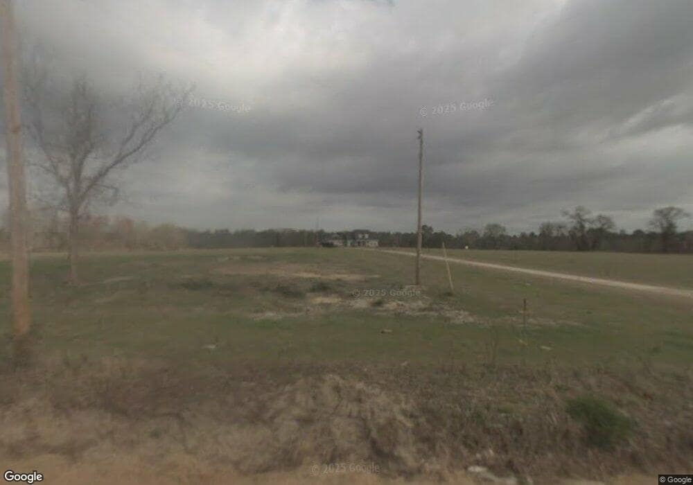
959 Saunders Rd Portal, GA 30450
Estimated Value: $441,000 - $491,000
4
Beds
4
Baths
2,817
Sq Ft
$165/Sq Ft
Est. Value
About This Home
This home is located at 959 Saunders Rd, Portal, GA 30450 and is currently estimated at $465,794, approximately $165 per square foot. 959 Saunders Rd is a home located in Bulloch County with nearby schools including Portal Elementary School and Portal Middle/High School.
Ownership History
Date
Name
Owned For
Owner Type
Purchase Details
Closed on
Jul 9, 2019
Sold by
Plan C Investments Llc
Bought by
Wendelken Jeffery Benjamin and Mcquigg Hailee L
Current Estimated Value
Home Financials for this Owner
Home Financials are based on the most recent Mortgage that was taken out on this home.
Original Mortgage
$202,000
Outstanding Balance
$176,970
Interest Rate
3.82%
Mortgage Type
New Conventional
Estimated Equity
$288,824
Purchase Details
Closed on
Jul 3, 2018
Sold by
George Susan M
Bought by
Plan C Investments Llc
Purchase Details
Closed on
Jul 6, 2004
Bought by
George Susan M and Harry Lee Jones
Create a Home Valuation Report for This Property
The Home Valuation Report is an in-depth analysis detailing your home's value as well as a comparison with similar homes in the area
Home Values in the Area
Average Home Value in this Area
Purchase History
| Date | Buyer | Sale Price | Title Company |
|---|---|---|---|
| Wendelken Jeffery Benjamin | $252,500 | -- | |
| Plan C Investments Llc | $161,500 | -- | |
| George Susan M | -- | -- |
Source: Public Records
Mortgage History
| Date | Status | Borrower | Loan Amount |
|---|---|---|---|
| Open | Wendelken Jeffery Benjamin | $202,000 |
Source: Public Records
Tax History Compared to Growth
Tax History
| Year | Tax Paid | Tax Assessment Tax Assessment Total Assessment is a certain percentage of the fair market value that is determined by local assessors to be the total taxable value of land and additions on the property. | Land | Improvement |
|---|---|---|---|---|
| 2024 | $3,291 | $147,708 | $12,800 | $134,908 |
| 2023 | $3,202 | $131,600 | $10,240 | $121,360 |
| 2022 | $2,424 | $112,304 | $8,554 | $103,750 |
| 2021 | $2,137 | $96,534 | $8,554 | $87,980 |
| 2020 | $2,071 | $91,128 | $7,128 | $84,000 |
| 2019 | $2,085 | $91,278 | $7,128 | $84,150 |
| 2018 | $1,958 | $87,539 | $5,939 | $81,600 |
| 2017 | $1,928 | $85,109 | $5,939 | $79,170 |
| 2016 | $1,917 | $82,499 | $5,939 | $76,560 |
| 2015 | $1,881 | $80,559 | $5,939 | $74,620 |
| 2014 | $1,732 | $80,559 | $5,939 | $74,620 |
Source: Public Records
Map
Nearby Homes
- 2039 Buttermilk Rd
- 5555 Carlton Ln
- 5420 Martin Rd S
- 0 Old Moore Rd
- 2 Chop Rd
- 5524 Hooker Branch Rd
- 525 Horsefly Rd
- 374 Pleasant Hill Rd
- 336 Pleasant Hill Rd
- 218 Turpentine Dr
- 296 Pleasant Hill Rd
- 0 U S 80 Unit 10535643
- 0 Two Chop Rd
- 4655 Taylor Rd
- 1717 Grady Saunders Rd
- 567 Anderson Parrish Rd
- 569 Anderson Parrish Rd
- 188 Brenda Rd
- 149 Main St
- 0 Ben Grady Collins Rd Unit LOT 3 10534788
- 985 Saunders Rd
- 1202 Saunders Rd
- Lots 1&2 Saunders Rd
- 899 Lonnie Burke Rd
- 0 Lonnie Burke Rd
- 1571 Orabelle Rd Unit Lot 9
- 924 Lonnie Burke Rd
- 4351 Old Dill Rd
- 6487 Us Highway 25
- 2095 Buttermilk Rd
- 1591 Orabelle Rd Unit 8
- 22 Saunders Rd
- 1541 Orabelle Rd Unit 11
- 1541 Orabelle Rd
- 6251 Highway 67
- 0 Highway 25
- 7093 Highway 25
- 2860 Buttermilk Rd
- 2685 Buttermilk Rd
- 257 Lonnie Burke Rd
