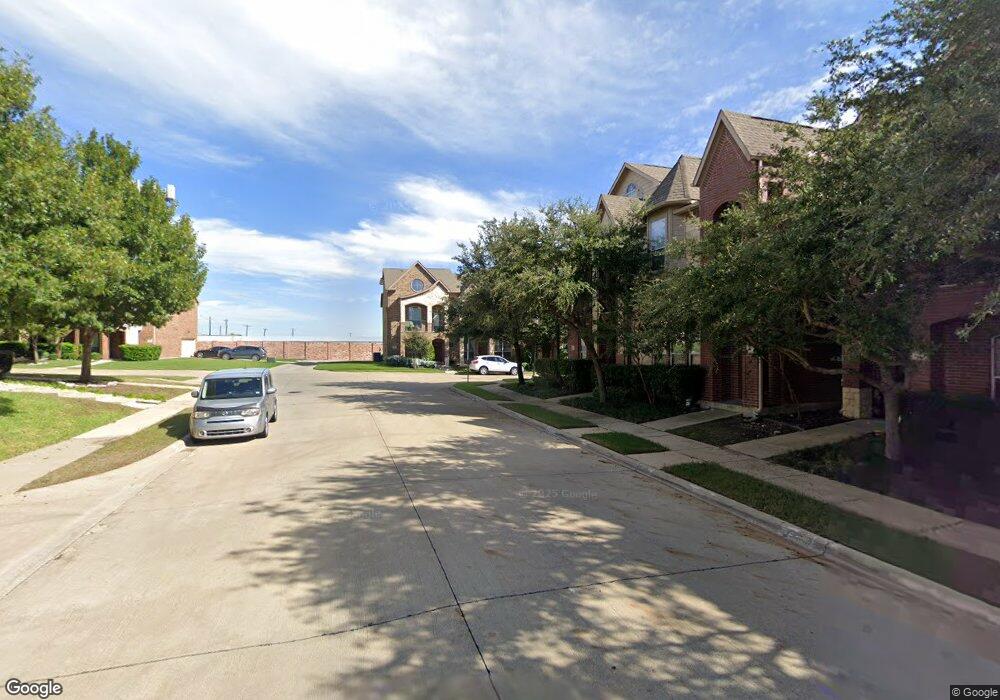
959 Shelby Ln the Colony, TX 75056
Estimated Value: $321,075 - $411,000
3
Beds
3
Baths
1,700
Sq Ft
$211/Sq Ft
Est. Value
About This Home
This home is located at 959 Shelby Ln, the Colony, TX 75056 and is currently estimated at $359,519, approximately $211 per square foot. 959 Shelby Ln is a home located in Denton County with nearby schools including Lakeview Middle School, The Colony High School, and Wonderland Montessori Academy.
Ownership History
Date
Name
Owned For
Owner Type
Purchase Details
Closed on
May 15, 2015
Sold by
Witt Capital Llc
Bought by
Muruli Michael
Current Estimated Value
Home Financials for this Owner
Home Financials are based on the most recent Mortgage that was taken out on this home.
Original Mortgage
$215,033
Outstanding Balance
$163,030
Interest Rate
3.25%
Mortgage Type
FHA
Estimated Equity
$196,489
Purchase Details
Closed on
Nov 22, 2010
Sold by
Witt Michael
Bought by
Witt Capital Llc
Purchase Details
Closed on
Aug 5, 2010
Sold by
Guaranty Plus Properties Llc 2
Bought by
Witt Michael
Purchase Details
Closed on
Jun 2, 2009
Sold by
Wall Homes Inc
Bought by
Guaranty Plus Properties Llc-2
Create a Home Valuation Report for This Property
The Home Valuation Report is an in-depth analysis detailing your home's value as well as a comparison with similar homes in the area
Home Values in the Area
Average Home Value in this Area
Purchase History
| Date | Buyer | Sale Price | Title Company |
|---|---|---|---|
| Muruli Michael | -- | Lawyers Title | |
| Witt Capital Llc | -- | None Available | |
| Witt Michael | -- | None Available | |
| Guaranty Plus Properties Llc-2 | -- | None Available |
Source: Public Records
Mortgage History
| Date | Status | Borrower | Loan Amount |
|---|---|---|---|
| Open | Muruli Michael | $215,033 |
Source: Public Records
Tax History Compared to Growth
Tax History
| Year | Tax Paid | Tax Assessment Tax Assessment Total Assessment is a certain percentage of the fair market value that is determined by local assessors to be the total taxable value of land and additions on the property. | Land | Improvement |
|---|---|---|---|---|
| 2025 | $5,743 | $319,530 | $68,200 | $251,330 |
| 2024 | $5,743 | $332,317 | $68,200 | $264,117 |
| 2023 | $3,866 | $287,910 | $68,200 | $277,029 |
| 2022 | $4,967 | $261,736 | $59,675 | $210,563 |
| 2021 | $4,796 | $237,942 | $46,035 | $191,907 |
| 2020 | $4,341 | $216,408 | $46,035 | $170,373 |
| 2019 | $4,616 | $223,107 | $46,035 | $177,072 |
| 2018 | $4,522 | $217,276 | $46,035 | $171,241 |
| 2017 | $4,545 | $215,985 | $46,035 | $169,950 |
| 2016 | $4,144 | $217,796 | $46,035 | $171,761 |
| 2015 | $2,906 | $145,000 | $46,035 | $98,965 |
| 2014 | $2,906 | $133,000 | $35,000 | $98,000 |
| 2013 | -- | $130,000 | $35,000 | $95,000 |
Source: Public Records
Map
Nearby Homes
- 2554 Adam Ln
- 686 Sailors Ave
- 2825 Treasure Cove Dr
- 1306 Andrew Ct
- 298 Almanor St
- 323 Colusa Dr
- 3020 Hereford Dr
- 3021 Bans Crown Blvd
- 209 Florence Dr
- 3321 Bans Crown Blvd
- 2517 Wales Way
- 3840 Overlook Ct
- 2516 Wales Way
- 205 Vagon Castle Ln
- 309 Sir Brine Dr
- 3913 Lakeside Dr
- 348 Prairie Ridge Ln
- 4200 Creek Hollow Way
- 4572 Shadowridge Dr
- 1729 Farm To Market Road 544