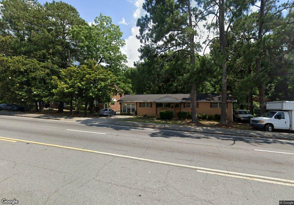
959 Shurling Dr Macon, GA 31211
Estimated Value: $124,508 - $191,000
3
Beds
3
Baths
2,105
Sq Ft
$78/Sq Ft
Est. Value
About This Home
This home is located at 959 Shurling Dr, Macon, GA 31211 and is currently estimated at $164,127, approximately $77 per square foot. 959 Shurling Dr is a home located in Bibb County with nearby schools including Burdell Elementary School, Appling Middle School, and Northeast High School.
Ownership History
Date
Name
Owned For
Owner Type
Purchase Details
Closed on
Aug 22, 2018
Sold by
Mullen Peggy J
Bought by
Johnston Artis B
Current Estimated Value
Purchase Details
Closed on
Jun 9, 2014
Sold by
Johnson Nettie T
Bought by
Mullen Peggy J
Purchase Details
Closed on
Mar 22, 1994
Sold by
Johnston John P D-2-6-94
Bought by
Johnston Nettie T
Purchase Details
Closed on
May 4, 1988
Sold by
Johnston Nettie T
Bought by
Johnston John P
Create a Home Valuation Report for This Property
The Home Valuation Report is an in-depth analysis detailing your home's value as well as a comparison with similar homes in the area
Purchase History
| Date | Buyer | Sale Price | Title Company |
|---|---|---|---|
| Johnston Artis B | -- | None Available | |
| Mullen Peggy J | -- | None Available | |
| Johnston Nettie T | -- | -- | |
| Johnston John P | -- | -- |
Source: Public Records
Tax History
| Year | Tax Paid | Tax Assessment Tax Assessment Total Assessment is a certain percentage of the fair market value that is determined by local assessors to be the total taxable value of land and additions on the property. | Land | Improvement |
|---|---|---|---|---|
| 2025 | -- | $47,088 | $3,476 | $43,612 |
| 2024 | -- | $42,134 | $2,760 | $39,374 |
| 2023 | $0 | $41,449 | $2,075 | $39,374 |
| 2022 | $955 | $25,130 | $2,740 | $22,390 |
| 2021 | $600 | $15,795 | $1,028 | $14,767 |
| 2020 | $572 | $14,318 | $1,028 | $13,290 |
| 2019 | $513 | $12,842 | $1,028 | $11,814 |
| 2018 | $950 | $12,842 | $1,028 | $11,814 |
| 2017 | $481 | $12,842 | $1,028 | $11,814 |
| 2016 | $444 | $12,841 | $1,028 | $11,814 |
| 2015 | $629 | $12,841 | $1,028 | $11,814 |
| 2014 | $893 | $15,863 | $1,096 | $14,767 |
Source: Public Records
Map
Nearby Homes
- 1235 Boone St
- 1392 Fort Hill St
- 1775 Denton St
- 725 Schaeffer Place
- 857 Mitchell St
- 972 Norris St
- 1059 Fort Hill St
- 1957 Kitchens Rd
- 751 Mitchell St
- 722 Mitchell St
- 1215 Hawkinsville Ave
- 1861 Kitchens Rd
- 1881 Kitchens Rd
- 1912 Kitchens Rd
- 955 Elder St
- 1024 Clarks Ln
- 1244 Hall St
- 845 Norris St
- 774 Maynard St
- 873 Fort Hill St
- 973 Shurling Dr
- 1442 Kitchens St
- 1446 Kitchen Street
- 1434 Kitchens St
- 1329 Norris St
- 1426 Kitchens St
- 1317 Norris St
- 1418 Kitchens St
- 1408 Kitchens St
- 1416 Kitchens St
- 912 Walter E Davis Sr Dr
- 1340 Norris St
- 1021 Shurling Dr
- 1026 Boone St
- 1011 Boone St
- 1330 Norris St
- 845 Shurling Dr
- 880 Walter E Davis Sr Dr
- 1337 Schaeffer Place
- 1023 Shurling Dr
Your Personal Tour Guide
Ask me questions while you tour the home.