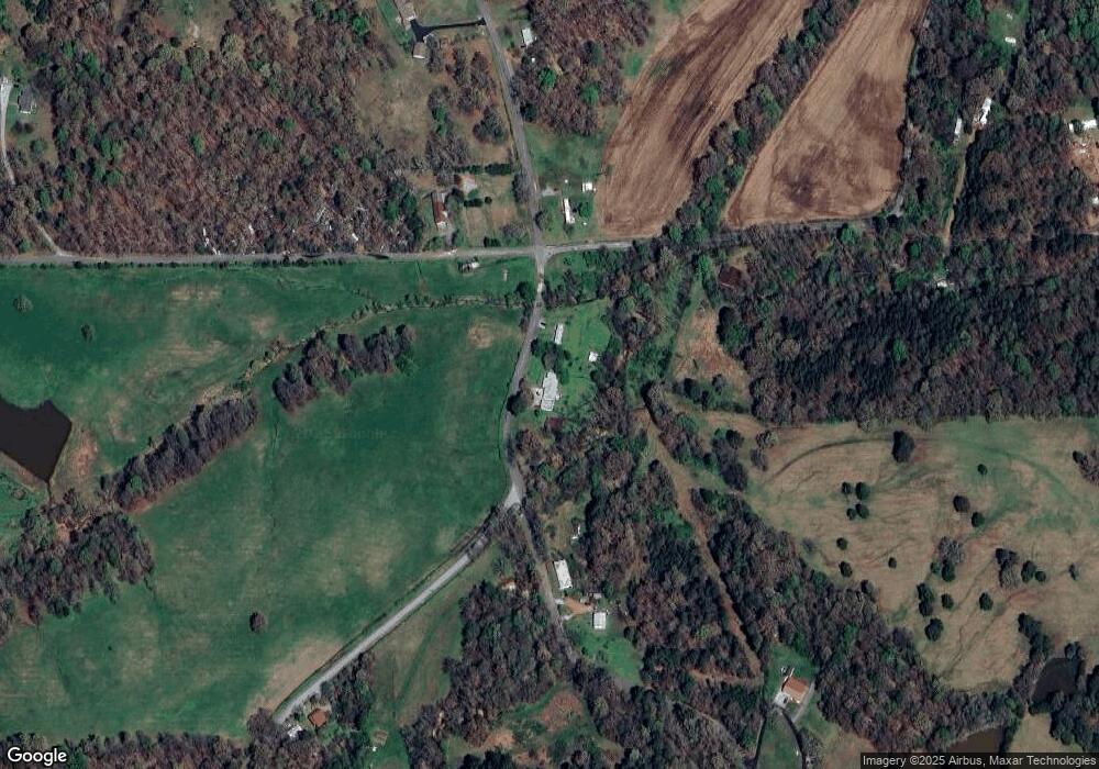
959 Walnut Grove Rd Benton, KY 42025
Estimated Value: $153,000 - $216,551
3
Beds
2
Baths
1,600
Sq Ft
$115/Sq Ft
Est. Value
About This Home
This home is located at 959 Walnut Grove Rd, Benton, KY 42025 and is currently estimated at $184,388, approximately $115 per square foot. 959 Walnut Grove Rd is a home located in Marshall County with nearby schools including South Marshall Elementary School, Marshall County High School, and Titus Christian Prep.
Ownership History
Date
Name
Owned For
Owner Type
Purchase Details
Closed on
Mar 28, 2016
Sold by
U S Bank Trust Na
Bought by
Belanger Mark W and Belanger Judith M
Current Estimated Value
Purchase Details
Closed on
Nov 7, 2011
Sold by
Gleckler James T
Bought by
Darnell Mavis
Home Financials for this Owner
Home Financials are based on the most recent Mortgage that was taken out on this home.
Original Mortgage
$69,686
Interest Rate
4.09%
Mortgage Type
FHA
Create a Home Valuation Report for This Property
The Home Valuation Report is an in-depth analysis detailing your home's value as well as a comparison with similar homes in the area
Home Values in the Area
Average Home Value in this Area
Purchase History
| Date | Buyer | Sale Price | Title Company |
|---|---|---|---|
| Belanger Mark W | $37,600 | None Available | |
| Darnell Mavis | $71,500 | Associated Title Company |
Source: Public Records
Mortgage History
| Date | Status | Borrower | Loan Amount |
|---|---|---|---|
| Previous Owner | Darnell Mavis | $69,686 |
Source: Public Records
Tax History Compared to Growth
Tax History
| Year | Tax Paid | Tax Assessment Tax Assessment Total Assessment is a certain percentage of the fair market value that is determined by local assessors to be the total taxable value of land and additions on the property. | Land | Improvement |
|---|---|---|---|---|
| 2024 | $1,411 | $141,000 | $10,000 | $131,000 |
| 2023 | $570 | $55,000 | $10,000 | $45,000 |
| 2022 | $593 | $55,000 | $10,000 | $45,000 |
| 2021 | $600 | $55,000 | $10,000 | $45,000 |
| 2020 | $572 | $52,050 | $10,000 | $42,050 |
| 2019 | $573 | $52,050 | $10,000 | $42,050 |
| 2018 | $575 | $52,050 | $10,000 | $42,050 |
| 2017 | $575 | $52,050 | $10,000 | $42,050 |
| 2016 | $736 | $66,500 | $10,000 | $56,500 |
| 2015 | $799 | $71,500 | $10,000 | $61,500 |
| 2014 | $798 | $71,500 | $0 | $0 |
| 2010 | -- | $64,000 | $8,000 | $56,000 |
Source: Public Records
Map
Nearby Homes
- 0 Dogtown Rd Unit HWY 1897 133287
- 116 Edwards Ln
- 140 Collins Farm Rd
- 1.06 Acres on Slaughter Rd
- 552 Toy York Rd
- 1535 Toy York Rd
- 49 Sid Darnall Rd
- 18 Union Hill Rd
- 0 Robb Ln
- 62 Lacey Faye Ln
- 484 Union Hill Rd
- 000 W 24th St
- 1179 Dogtown Rd
- 2200 Main St
- 321 Bismark Ln
- 1805 Park Ave
- 0 Lot 32 & Half of 31 Master Cir Unit 90276
- Lot 53 & 54 Masters Cir
- 0 Lot 30 & Half of 31 Master Cir Unit 90274
- 3082 Eggners Ferry Rd
- 959 Walnut Grove Rd
- 925 Walnut Grove Rd
- 959 Walnut Grove Rd
- 98 Gas Light Ln
- 871 Walnut Grove Rd
- 34 Gas Light Ln
- 100 Gas Light Ln
- 781 Walnut Grove Rd
- 1225 Walnut Grove Rd
- 24 Cope Cemetery Ln
- 1488 Hunter Rd
- 184 Glade Rd
- 184 Glade Rd
- 216 Glade Rd
- 129 Cope Cemetery Ln
- 240 Glade Rd
- 661 Walnut Grove Rd
- 258 Gas Light Ln
- 37 Anderson Ln
- 88 Anderson Ln
