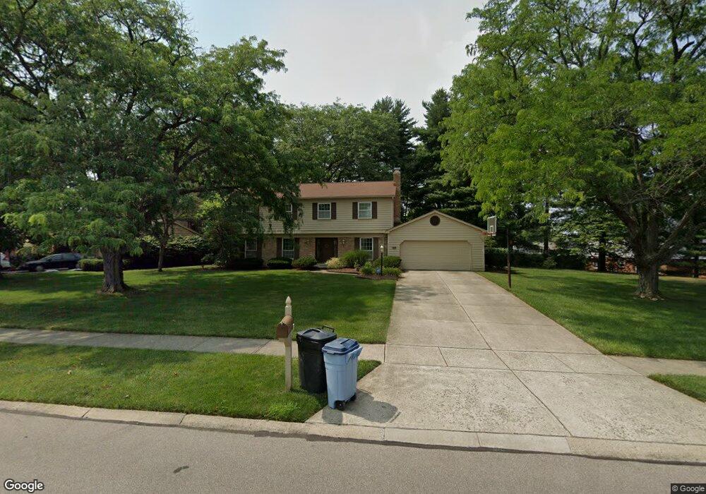
9593 Millbrook Dr Cincinnati, OH 45231
Winton Lake NeighborhoodEstimated Value: $341,000 - $394,000
4
Beds
3
Baths
2,475
Sq Ft
$149/Sq Ft
Est. Value
About This Home
This home is located at 9593 Millbrook Dr, Cincinnati, OH 45231 and is currently estimated at $367,813, approximately $148 per square foot. 9593 Millbrook Dr is a home located in Hamilton County with nearby schools including John Paul II Catholic School.
Ownership History
Date
Name
Owned For
Owner Type
Purchase Details
Closed on
Mar 16, 2004
Sold by
Blow Robert F and Blow Jo Anne
Bought by
York Kenneth J and York Jeanne D
Current Estimated Value
Home Financials for this Owner
Home Financials are based on the most recent Mortgage that was taken out on this home.
Original Mortgage
$176,000
Interest Rate
5.65%
Mortgage Type
Unknown
Create a Home Valuation Report for This Property
The Home Valuation Report is an in-depth analysis detailing your home's value as well as a comparison with similar homes in the area
Home Values in the Area
Average Home Value in this Area
Purchase History
| Date | Buyer | Sale Price | Title Company |
|---|---|---|---|
| York Kenneth J | $220,000 | -- |
Source: Public Records
Mortgage History
| Date | Status | Borrower | Loan Amount |
|---|---|---|---|
| Closed | York Kenneth J | $176,000 |
Source: Public Records
Tax History
| Year | Tax Paid | Tax Assessment Tax Assessment Total Assessment is a certain percentage of the fair market value that is determined by local assessors to be the total taxable value of land and additions on the property. | Land | Improvement |
|---|---|---|---|---|
| 2025 | $6,981 | $102,543 | $15,680 | $86,863 |
| 2023 | $6,535 | $102,543 | $15,680 | $86,863 |
| 2022 | $6,527 | $76,756 | $14,802 | $61,954 |
| 2021 | $6,376 | $76,756 | $14,802 | $61,954 |
| 2020 | $6,467 | $76,756 | $14,802 | $61,954 |
| 2019 | $5,949 | $65,048 | $12,544 | $52,504 |
| 2018 | $5,962 | $65,048 | $12,544 | $52,504 |
| 2017 | $5,655 | $65,048 | $12,544 | $52,504 |
| 2016 | $5,197 | $58,580 | $12,670 | $45,910 |
| 2015 | $4,847 | $58,580 | $12,670 | $45,910 |
| 2014 | $4,830 | $58,580 | $12,670 | $45,910 |
| 2013 | $4,631 | $57,999 | $12,544 | $45,455 |
Source: Public Records
Map
Nearby Homes
- 9606 Millbrook Dr
- 9458 Leebrook Dr
- 650 Allencrest Ct
- 860 Sarbrook Dr
- 9469 Beech Dr
- 9315 Winton Rd
- 9876 Lorelei Dr
- 9732 Woodmill Ln
- 9319 Winton Rd
- 9441 Wyoming Point Place
- 946 Mckelvey Rd
- 9305 Bridgecreek Dr Unit 14A
- 9382 Stoneybrooke
- 9367 Stoneybrooke Unit 10G
- 9197 Long Ln
- 722 Compton Rd
- 10022 Lakeside Dr
- 745 Compton Rd
- 429 Mccreary Ct
- 357 Meadowcrest Rd
- 9581 Millbrook Dr
- 9621 Leebrook Dr
- 9627 Leebrook Dr
- 9575 Millbrook Dr
- 9590 Millbrook Dr
- 9633 Leebrook Dr
- 9595 Leebrook Dr
- 9584 Millbrook Dr
- 9569 Millbrook Dr
- 9587 Leebrook Dr
- 9639 Leebrook Dr
- 9578 Millbrook Dr
- 9618 Leebrook Dr
- 9624 Leebrook Dr
- 9579 Leebrook Dr
- 9572 Millbrook Dr
- 9630 Leebrook Dr
- 9620 Timbermill Ct
- 9645 Leebrook Dr
- 9636 Leebrook Dr
Your Personal Tour Guide
Ask me questions while you tour the home.