9593 Sandy Run Dr Waynesville, OH 45068
Wayne Township NeighborhoodEstimated Value: $416,166 - $576,000
3
Beds
2
Baths
1,804
Sq Ft
$276/Sq Ft
Est. Value
About This Home
This home is located at 9593 Sandy Run Dr, Waynesville, OH 45068 and is currently estimated at $497,792, approximately $275 per square foot. 9593 Sandy Run Dr is a home located in Warren County with nearby schools including Waynesville Elementary School, Waynesville Middle School, and Waynesville High School.
Ownership History
Date
Name
Owned For
Owner Type
Purchase Details
Closed on
Oct 6, 2005
Sold by
Ellis Custom Homes Llc
Bought by
Mcafee James W and Mcafee Kimberleigh K
Current Estimated Value
Home Financials for this Owner
Home Financials are based on the most recent Mortgage that was taken out on this home.
Original Mortgage
$122,000
Outstanding Balance
$65,547
Interest Rate
5.82%
Mortgage Type
Fannie Mae Freddie Mac
Estimated Equity
$432,245
Purchase Details
Closed on
May 17, 2005
Sold by
Schweitzer Roy B and Schweitzer Kathleen
Bought by
Ellis Custom Homes Llc
Home Financials for this Owner
Home Financials are based on the most recent Mortgage that was taken out on this home.
Original Mortgage
$170,475
Interest Rate
6.05%
Mortgage Type
Construction
Create a Home Valuation Report for This Property
The Home Valuation Report is an in-depth analysis detailing your home's value as well as a comparison with similar homes in the area
Home Values in the Area
Average Home Value in this Area
Purchase History
| Date | Buyer | Sale Price | Title Company |
|---|---|---|---|
| Mcafee James W | -- | Landamerica | |
| Ellis Custom Homes Llc | $37,000 | Advantage Title Company Inc |
Source: Public Records
Mortgage History
| Date | Status | Borrower | Loan Amount |
|---|---|---|---|
| Open | Mcafee James W | $122,000 | |
| Previous Owner | Ellis Custom Homes Llc | $170,475 |
Source: Public Records
Tax History Compared to Growth
Tax History
| Year | Tax Paid | Tax Assessment Tax Assessment Total Assessment is a certain percentage of the fair market value that is determined by local assessors to be the total taxable value of land and additions on the property. | Land | Improvement |
|---|---|---|---|---|
| 2024 | $4,352 | $109,130 | $32,200 | $76,930 |
| 2023 | $3,842 | $84,535 | $18,998 | $65,537 |
| 2022 | $3,756 | $84,536 | $18,998 | $65,538 |
| 2021 | $3,602 | $84,536 | $18,998 | $65,538 |
| 2020 | $3,540 | $71,642 | $16,100 | $55,542 |
| 2019 | $3,541 | $71,642 | $16,100 | $55,542 |
| 2018 | $3,543 | $71,642 | $16,100 | $55,542 |
| 2017 | $3,120 | $58,853 | $10,752 | $48,101 |
| 2016 | $2,910 | $58,853 | $10,752 | $48,101 |
| 2015 | $2,915 | $58,853 | $10,752 | $48,101 |
| 2014 | $2,983 | $57,140 | $10,440 | $46,700 |
| 2013 | $2,977 | $66,100 | $12,080 | $54,020 |
Source: Public Records
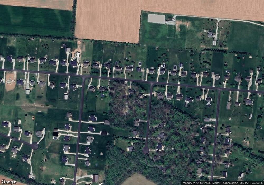
Map
Nearby Homes
- 9052 Wilson Rd
- 9500 Collett Rd Unit 20
- 8648 Compton Rd
- 8881 Route 42
- 7364 Cook Jones Rd
- 2 Acres Mount Holly Rd
- 8760 State Route 380
- 9161 Old Stage Rd
- 7902 N US Rt 42
- 9 Cumberland Ct
- 8519 Old Stage Rd
- 9510 Bellbrook Rd
- 196 Mound St
- 7219 N Us Rt 42
- 0 Penewit Rd
- 10 Acres Penewit Rd
- 7219 U S 42
- 7219 N Route 42
- 116 Maple St
- 0 Mount Holly Rd
- Lot Sandy Run Dr
- 9061 Adam Ln
- 9547 Sandy Run Dr
- 9616 Sandy Run Dr
- 9556 Sandy Run Dr
- 90 Sandy Run Dr
- 4 Sandy Run Dr
- 9620 Sandy Run Dr
- 9533 Sandy Run Dr
- 9586 Sandy Run Dr
- 9015 Adam Ln
- 9542 Sandy Run Dr
- 9646 Sandy Run Dr
- 9663 Sandy Run Dr
- 9523 Sandy Run Dr
- 8997 Adam Ln
- 9526 Sandy Run Dr
- 9672 Sandy Run Dr
- 9689 Sandy Run Dr
- 9014 Adam Ln