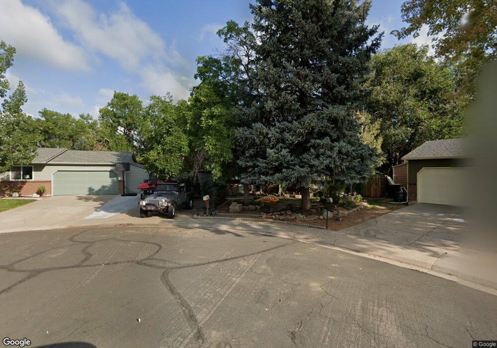
9599 Jason Ct Thornton, CO 80260
Alta Ridge NeighborhoodEstimated Value: $317,000 - $484,000
4
Beds
2
Baths
1,684
Sq Ft
$246/Sq Ft
Est. Value
About This Home
This home is located at 9599 Jason Ct, Thornton, CO 80260 and is currently estimated at $414,614, approximately $246 per square foot. 9599 Jason Ct is a home located in Adams County with nearby schools including North Mor Elementary School, Northglenn Middle School, and Northglenn High School.
Ownership History
Date
Name
Owned For
Owner Type
Purchase Details
Closed on
Aug 22, 2025
Sold by
United Colorado Llc
Bought by
Martinez Lucila
Current Estimated Value
Purchase Details
Closed on
Sep 29, 2006
Sold by
Duncan William Dale and Duncan Jamie L
Bought by
Jackson Keith R and Locke Nancy Delthia
Home Financials for this Owner
Home Financials are based on the most recent Mortgage that was taken out on this home.
Original Mortgage
$164,000
Interest Rate
8.4%
Mortgage Type
Stand Alone First
Purchase Details
Closed on
Mar 22, 2002
Sold by
Duncan William Dale
Bought by
Duncan William Dale and Duncan Jamie L
Home Financials for this Owner
Home Financials are based on the most recent Mortgage that was taken out on this home.
Original Mortgage
$123,500
Interest Rate
6.83%
Mortgage Type
Purchase Money Mortgage
Purchase Details
Closed on
Nov 24, 1992
Create a Home Valuation Report for This Property
The Home Valuation Report is an in-depth analysis detailing your home's value as well as a comparison with similar homes in the area
Home Values in the Area
Average Home Value in this Area
Purchase History
| Date | Buyer | Sale Price | Title Company |
|---|---|---|---|
| Martinez Lucila | $335,000 | Chicago Title | |
| United Colorado Llc | $320,000 | None Listed On Document | |
| Jackson Keith R | $205,000 | Security Title | |
| Duncan William Dale | -- | Title Services | |
| -- | $97,000 | -- |
Source: Public Records
Mortgage History
| Date | Status | Borrower | Loan Amount |
|---|---|---|---|
| Previous Owner | Jackson Keith R | $164,000 | |
| Previous Owner | Duncan William Dale | $123,500 |
Source: Public Records
Tax History Compared to Growth
Tax History
| Year | Tax Paid | Tax Assessment Tax Assessment Total Assessment is a certain percentage of the fair market value that is determined by local assessors to be the total taxable value of land and additions on the property. | Land | Improvement |
|---|---|---|---|---|
| 2024 | $3,093 | $27,310 | $6,250 | $21,060 |
| 2023 | $3,062 | $32,200 | $5,750 | $26,450 |
| 2022 | $2,937 | $25,480 | $5,910 | $19,570 |
| 2021 | $3,035 | $25,480 | $5,910 | $19,570 |
| 2020 | $2,796 | $23,960 | $6,080 | $17,880 |
| 2019 | $3,861 | $33,030 | $6,080 | $26,950 |
| 2018 | $2,633 | $21,850 | $5,900 | $15,950 |
| 2017 | $2,397 | $21,850 | $5,900 | $15,950 |
| 2016 | $1,944 | $17,230 | $3,100 | $14,130 |
| 2015 | $1,942 | $17,230 | $3,100 | $14,130 |
| 2014 | $1,460 | $12,590 | $2,310 | $10,280 |
Source: Public Records
Map
Nearby Homes
- 864 W 96th Place
- 9648 Lane St
- 9650 Huron St Unit 6
- 8881 Huron St
- 707 W 96th Ave Unit 9
- 707 W 96th Ave Unit 31
- 707 W 96th Ave Unit 2
- 9769 Croke Dr
- 9759 Lane St Unit 2718
- 9777 Orangewood Dr
- 9824 Lane St
- 9859 Croke Dr
- 9787 Orangewood Dr
- 9848 Lane St
- 9842 Lane St
- 9857 Lane St
- 744 W 99th Ave
- 1201 W Thornton Pkwy Unit 223
- 1201 W Thornton Pkwy Unit 12
- 1201 W Thornton Pkwy Unit 47
- 9579 Jason Ct
- 1064 W 96th Ave
- 9588 Jason Ct
- 1084 W 96th Ave
- 1044 W 96th Ave
- 9559 Jason Ct
- 9568 Jason Ct
- 9570 Kalamath Cir
- 1124 W 96th Ave
- 1024 W 96th Ave
- 9539 Jason Ct
- 9550 Kalamath Cir
- 9548 Jason Ct
- 1144 W 96th Ave
- 9530 Kalamath Cir
- 9590 Kalamath Cir
- 984 W 96th Ave
- 9528 Jason Ct
- 1065 W 96th Ave
- 9519 Jason Ct