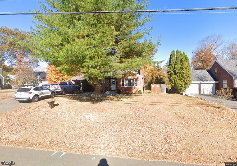
96 Barbour Rd New Britain, CT 06053
Estimated Value: $310,420 - $383,000
3
Beds
1
Bath
1,555
Sq Ft
$217/Sq Ft
Est. Value
About This Home
This home is located at 96 Barbour Rd, New Britain, CT 06053 and is currently estimated at $337,855, approximately $217 per square foot. 96 Barbour Rd is a home located in Hartford County with nearby schools including Holmes School, Pulaski Middle School, and St. Francis of Assisi Middle School.
Create a Home Valuation Report for This Property
The Home Valuation Report is an in-depth analysis detailing your home's value as well as a comparison with similar homes in the area
Home Values in the Area
Average Home Value in this Area
Tax History
| Year | Tax Paid | Tax Assessment Tax Assessment Total Assessment is a certain percentage of the fair market value that is determined by local assessors to be the total taxable value of land and additions on the property. | Land | Improvement |
|---|---|---|---|---|
| 2025 | $5,949 | $151,830 | $59,850 | $91,980 |
| 2024 | $6,011 | $151,830 | $59,850 | $91,980 |
| 2023 | $5,812 | $151,830 | $59,850 | $91,980 |
| 2022 | $5,177 | $104,580 | $27,580 | $77,000 |
| 2021 | $5,177 | $104,580 | $27,580 | $77,000 |
| 2020 | $5,281 | $104,580 | $27,580 | $77,000 |
| 2019 | $5,281 | $104,580 | $27,580 | $77,000 |
| 2018 | $5,281 | $104,580 | $27,580 | $77,000 |
| 2017 | $5,175 | $102,480 | $25,130 | $77,350 |
| 2016 | $5,175 | $102,480 | $25,130 | $77,350 |
| 2015 | $5,022 | $102,480 | $25,130 | $77,350 |
| 2014 | $5,022 | $102,480 | $25,130 | $77,350 |
Source: Public Records
Map
Nearby Homes
- 89 Hazelmere Rd
- 1634 Stanley St
- 497 Commonwealth Ave
- 227 Amherst St
- 55 Alexander Rd
- 160 Brittany Farms Rd Unit D
- 57 Merigold Dr
- 182 Francis St
- 45 Tunxis St
- 33 Recano Rd
- 72 Hillcrest Ave
- 27 Janet Dr
- 57 Foxon Place
- 432 Mcclintock St
- 1241 East St Unit C2
- 165 Bradford Walk Unit 165
- 1235 East St Unit B
- 172 Batterson Dr
- 678 Farmington Ave
- 1320 Stanley St
Your Personal Tour Guide
Ask me questions while you tour the home.