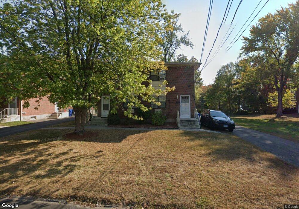
96 Beths Ave Bristol, CT 06010
Forestville NeighborhoodEstimated Value: $297,375 - $548,000
6
Beds
6
Baths
3,136
Sq Ft
$139/Sq Ft
Est. Value
About This Home
This home is located at 96 Beths Ave, Bristol, CT 06010 and is currently estimated at $435,344, approximately $138 per square foot. 96 Beths Ave is a home located in Hartford County with nearby schools including Northeast Middle School, Bristol Eastern High School, and St. Paul Catholic High School.
Ownership History
Date
Name
Owned For
Owner Type
Purchase Details
Closed on
Aug 29, 2003
Sold by
Tpp Assoc B Ave Lp
Bought by
Harrington Frederick J and Harrington Linda M
Current Estimated Value
Home Financials for this Owner
Home Financials are based on the most recent Mortgage that was taken out on this home.
Original Mortgage
$109,300
Interest Rate
5.69%
Create a Home Valuation Report for This Property
The Home Valuation Report is an in-depth analysis detailing your home's value as well as a comparison with similar homes in the area
Home Values in the Area
Average Home Value in this Area
Purchase History
| Date | Buyer | Sale Price | Title Company |
|---|---|---|---|
| Harrington Frederick J | $145,835 | -- |
Source: Public Records
Mortgage History
| Date | Status | Borrower | Loan Amount |
|---|---|---|---|
| Open | Harrington Frederick J | $178,000 | |
| Closed | Harrington Frederick J | $192,500 | |
| Closed | Harrington Frederick J | $157,500 | |
| Closed | Harrington Frederick J | $109,300 |
Source: Public Records
Tax History
| Year | Tax Paid | Tax Assessment Tax Assessment Total Assessment is a certain percentage of the fair market value that is determined by local assessors to be the total taxable value of land and additions on the property. | Land | Improvement |
|---|---|---|---|---|
| 2025 | $7,352 | $217,840 | $39,340 | $178,500 |
| 2024 | $6,938 | $217,840 | $39,340 | $178,500 |
| 2023 | $6,611 | $217,840 | $39,340 | $178,500 |
| 2022 | $6,088 | $158,760 | $31,920 | $126,840 |
| 2021 | $6,088 | $158,760 | $31,920 | $126,840 |
| 2020 | $6,088 | $158,760 | $31,920 | $126,840 |
| 2019 | $6,041 | $158,760 | $31,920 | $126,840 |
| 2018 | $5,855 | $158,760 | $31,920 | $126,840 |
| 2017 | $5,397 | $149,800 | $39,690 | $110,110 |
| 2016 | $5,397 | $149,800 | $39,690 | $110,110 |
| 2015 | $5,185 | $149,800 | $39,690 | $110,110 |
| 2014 | $5,185 | $149,800 | $39,690 | $110,110 |
Source: Public Records
Map
Nearby Homes
- 131 Mountain View Ave
- 55 Beths Ave Unit 77
- 20 Westchester Dr
- 169 Morningside Dr E
- 1325 Farmington Ave Unit 52
- 1325 Farmington Ave Unit 54
- 179 Mark St
- 941 Farmington Ave
- 3 Sandra St
- 206 Burton St
- 162 Ben St
- 1469 Farmington Ave Unit 56
- 1469 Farmington Ave Unit 40
- 97 Jacqueline Dr
- 35 Jasmine St
- 201 Westwoods Terrace
- 64 Fanway Ave
- 101 Vincent Rd
- 89 Nicholas Dr Unit 89
- 15 Cardinal Dr Unit 15
- 100 Beths Ave
- 80 Beths Ave
- 110 Beths Ave
- 66 Beths Ave Unit 17
- 66 Beths Ave
- 66 Beths Ave Unit 16
- 66 Beths Ave Unit 13
- 66 Beths Ave
- 66 Beths Ave Unit 14
- 116 Beths Ave
- 97 Mountain View Ave
- 91 Mountain View Ave
- 115 Beths Ave Unit 11
- 115 Beths Ave Unit 12
- 115 Beths Ave Unit 10
- 115 Beths Ave Unit 9
- 115 Beths Ave Unit 8
- 115 Beths Ave Unit 7
- 115 Beths Ave Unit 6
- 115 Beths Ave Unit 5
Your Personal Tour Guide
Ask me questions while you tour the home.