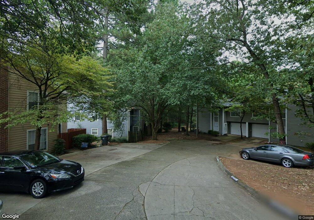
96 Brookway Trace Norcross, GA 30071
Estimated Value: $281,000 - $313,000
3
Beds
3
Baths
1,512
Sq Ft
$197/Sq Ft
Est. Value
About This Home
This home is located at 96 Brookway Trace, Norcross, GA 30071 and is currently estimated at $297,137, approximately $196 per square foot. 96 Brookway Trace is a home located in Gwinnett County with nearby schools including Beaver Ridge Elementary School, Summerour Middle School, and Norcross High School.
Ownership History
Date
Name
Owned For
Owner Type
Purchase Details
Closed on
Apr 29, 2011
Sold by
Federal Natl Mtg Assn Fnma
Bought by
Christian Marc
Current Estimated Value
Home Financials for this Owner
Home Financials are based on the most recent Mortgage that was taken out on this home.
Original Mortgage
$79,900
Outstanding Balance
$54,951
Interest Rate
4.81%
Mortgage Type
New Conventional
Estimated Equity
$242,186
Purchase Details
Closed on
Mar 2, 2010
Sold by
Nationstar Mtg Llc
Bought by
Federal Natl Mtg Assn Fnma
Purchase Details
Closed on
Jan 4, 2006
Sold by
Sterling Brook Builders Llc
Bought by
Galvis Diana
Home Financials for this Owner
Home Financials are based on the most recent Mortgage that was taken out on this home.
Original Mortgage
$143,000
Interest Rate
6.18%
Mortgage Type
New Conventional
Create a Home Valuation Report for This Property
The Home Valuation Report is an in-depth analysis detailing your home's value as well as a comparison with similar homes in the area
Home Values in the Area
Average Home Value in this Area
Purchase History
| Date | Buyer | Sale Price | Title Company |
|---|---|---|---|
| Christian Marc | -- | -- | |
| Federal Natl Mtg Assn Fnma | -- | -- | |
| Nationstar Mtg Llc | $114,403 | -- | |
| Galvis Diana | $143,000 | -- |
Source: Public Records
Mortgage History
| Date | Status | Borrower | Loan Amount |
|---|---|---|---|
| Open | Christian Marc | $79,900 | |
| Previous Owner | Galvis Diana | $143,000 |
Source: Public Records
Tax History
| Year | Tax Paid | Tax Assessment Tax Assessment Total Assessment is a certain percentage of the fair market value that is determined by local assessors to be the total taxable value of land and additions on the property. | Land | Improvement |
|---|---|---|---|---|
| 2025 | $2,600 | $119,600 | $28,080 | $91,520 |
| 2024 | $2,682 | $117,680 | $20,000 | $97,680 |
| 2023 | $2,682 | $117,680 | $20,000 | $97,680 |
| 2022 | $2,223 | $94,920 | $20,000 | $74,920 |
| 2021 | $1,934 | $78,360 | $16,000 | $62,360 |
| 2020 | $1,861 | $74,080 | $11,200 | $62,880 |
| 2019 | $2,148 | $67,960 | $10,800 | $57,160 |
| 2018 | $1,599 | $61,680 | $9,600 | $52,080 |
| 2016 | $1,290 | $47,320 | $8,000 | $39,320 |
| 2015 | $1,420 | $42,840 | $8,000 | $34,840 |
| 2014 | -- | $34,880 | $8,000 | $26,880 |
Source: Public Records
Map
Nearby Homes
- 2260 Ferentz Trace
- 1970 Ferentz Trace
- 1999 Hoot Owl Trail
- 101 Vineyard Pond Dr NW
- 105 Vineyard Pond Dr NW
- 5381 Station Cir Unit 3
- 2066 Pinnacle Pointe Dr
- 5367 Rails Way
- 1534 Cove Creek Cir
- 1620 Cove Creek Cir Unit 304
- 2123 Huddersfield Way
- 5634 Crest Trace Ct
- 5295 Lyme Bay Cir
- 2199 Summertown Dr
- 4242 Morrison Lake Trail
- 2189 Wesley Ct
- 2325 E Hill Way NW
- 4200 Sunny Oak Ln
- 5640 Western Hills Dr
- 2340 Beaver Ruin Rd Unit 7
- 94 Brookway Trace Unit 94
- 92 Brookway Trace
- 92 Brookway Trace Unit 92
- 98 Brookway Trace
- 90 Brookway Trace
- 88 Brookway Trace
- 88 Brookway Trace Unit 88
- 95 Huron Way
- 93 Huron Way
- 93 Huron Way Unit 93
- 91 Huron Way
- 91 Huron Way Unit 91
- 86 Brookway Trace
- 89 Huron Way
- 97 Huron Way
- 97 Huron Way Unit 97
- 87 Huron Way
- 84 Brookway Trace
- 85 Huron Way
- 85 Huron Way Unit 85
Your Personal Tour Guide
Ask me questions while you tour the home.