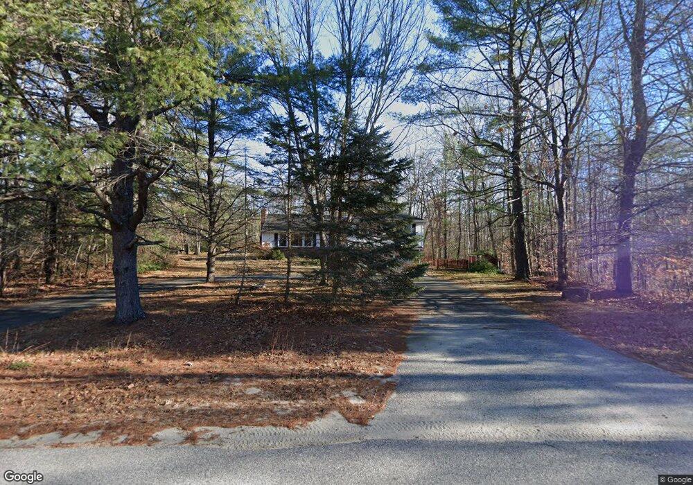
96 Burnham Dr Naples, ME 04055
Estimated Value: $286,379
3
Beds
1
Bath
1,644
Sq Ft
$174/Sq Ft
Est. Value
About This Home
This home is located at 96 Burnham Dr, Naples, ME 04055 and is currently estimated at $286,379, approximately $174 per square foot. 96 Burnham Dr is a home located in Cumberland County with nearby schools including Lake Region High School.
Ownership History
Date
Name
Owned For
Owner Type
Purchase Details
Closed on
Dec 22, 2009
Sold by
Bennell Lesely A
Bought by
Bennell Lesley A
Current Estimated Value
Home Financials for this Owner
Home Financials are based on the most recent Mortgage that was taken out on this home.
Original Mortgage
$145,750
Outstanding Balance
$94,783
Interest Rate
5%
Mortgage Type
Unknown
Estimated Equity
$191,596
Create a Home Valuation Report for This Property
The Home Valuation Report is an in-depth analysis detailing your home's value as well as a comparison with similar homes in the area
Home Values in the Area
Average Home Value in this Area
Purchase History
| Date | Buyer | Sale Price | Title Company |
|---|---|---|---|
| Bennell Lesley A | -- | -- |
Source: Public Records
Mortgage History
| Date | Status | Borrower | Loan Amount |
|---|---|---|---|
| Open | Bennell Lesley A | $145,750 | |
| Previous Owner | Bennell Lesley A | $51,500 |
Source: Public Records
Tax History
| Year | Tax Paid | Tax Assessment Tax Assessment Total Assessment is a certain percentage of the fair market value that is determined by local assessors to be the total taxable value of land and additions on the property. | Land | Improvement |
|---|---|---|---|---|
| 2025 | $2,630 | $282,827 | $62,340 | $220,487 |
| 2024 | $2,630 | $282,827 | $62,340 | $220,487 |
| 2023 | $2,588 | $282,827 | $62,340 | $220,487 |
| 2022 | $2,333 | $282,827 | $62,340 | $220,487 |
| 2021 | $2,371 | $177,599 | $45,100 | $132,499 |
| 2020 | $2,371 | $177,599 | $45,100 | $132,499 |
| 2019 | $2,371 | $177,599 | $45,100 | $132,499 |
| 2018 | $2,371 | $177,599 | $45,100 | $132,499 |
| 2017 | $2,371 | $177,599 | $45,100 | $132,499 |
| 2016 | $2,344 | $177,599 | $45,100 | $132,499 |
| 2015 | -- | $177,599 | $45,100 | $132,499 |
| 2014 | -- | $177,599 | $45,100 | $132,499 |
Source: Public Records
Map
Nearby Homes
- 160 Maplewood Dr
- 69 Roosevelt Trail
- 7 Maplewood Dr
- Lot 2 Jackson Cove Rd
- 27 Brilliant Way
- 31 Sand Rd
- 67 State Park Rd
- 29 Winsor Green Rd Unit 29
- Lot 11 Dillingham Rd
- 510 Roosevelt Trail
- 679 Roosevelt Trail
- 101 Mitchell Rd
- 33 Knight Dr
- 23 Clifford Rd Unit 17
- 65 Tenney Hill Rd
- 15 Goodridge Dr Unit 15
- 56 Hydrangea Cir Unit 10
- 1396 Poland Spring Rd
- 83 Hydrangea Cir Unit 11
- 34 Martha Rd
- 142 Burnham Dr
- 130 Burnham Dr
- 136 Burnham Dr
- 124 Burnham Dr
- 102 Burnham Dr
- Lot 53 Maplewood Dr
- 0 Maplewood Dr Unit 560147
- 0 Maplewood Dr Unit 367713
- 0 Maplewood Dr Unit 272188
- 0 Maplewood Dr Unit 516151
- 0 Maplewood Dr Unit 1463833
- 170 Maplewood Dr
- 79 Burnham Dr
- 177 Maplewood Dr
- 110 Burnham Dr
- 25 Clinton Rd
- 23 Clinton Rd
- 172 Maplewood Dr
- 80 Burnham Dr
- 23 Burnham Dr
Your Personal Tour Guide
Ask me questions while you tour the home.