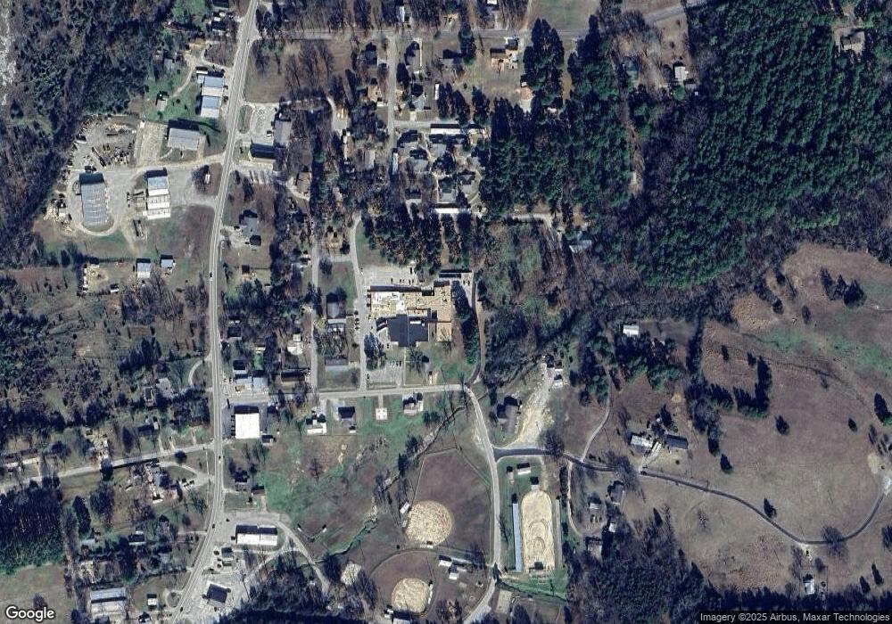
96 Connie Brook Ln Calico Rock, AR 72519
Estimated Value: $205,000 - $382,000
--
Bed
3
Baths
2,144
Sq Ft
$145/Sq Ft
Est. Value
About This Home
This home is located at 96 Connie Brook Ln, Calico Rock, AR 72519 and is currently estimated at $310,684, approximately $144 per square foot. 96 Connie Brook Ln is a home located in Baxter County with nearby schools including Arrie Goforth Elementary School and Norfork High School.
Ownership History
Date
Name
Owned For
Owner Type
Purchase Details
Closed on
Sep 16, 2021
Sold by
Martin Dale and Martin Connie
Bought by
Martin Dale L and Martin Connie A
Current Estimated Value
Purchase Details
Closed on
Jun 29, 2021
Sold by
Verbyl Caraway
Bought by
Martin Connie
Purchase Details
Closed on
Jun 24, 1999
Sold by
Not Provided
Bought by
Martin Dale and Martin Connie
Create a Home Valuation Report for This Property
The Home Valuation Report is an in-depth analysis detailing your home's value as well as a comparison with similar homes in the area
Home Values in the Area
Average Home Value in this Area
Purchase History
| Date | Buyer | Sale Price | Title Company |
|---|---|---|---|
| Martin Dale L | -- | None Available | |
| Martin Connie | -- | Stroud Robert D | |
| Martin Dale | $22,000 | -- |
Source: Public Records
Tax History Compared to Growth
Tax History
| Year | Tax Paid | Tax Assessment Tax Assessment Total Assessment is a certain percentage of the fair market value that is determined by local assessors to be the total taxable value of land and additions on the property. | Land | Improvement |
|---|---|---|---|---|
| 2024 | $1,581 | $50,770 | $1,120 | $49,650 |
| 2023 | $1,656 | $50,770 | $1,120 | $49,650 |
| 2022 | $1,706 | $50,770 | $1,120 | $49,650 |
| 2021 | $1,706 | $40,880 | $1,030 | $39,850 |
| 2020 | $1,693 | $40,880 | $1,030 | $39,850 |
| 2019 | $1,625 | $40,880 | $1,030 | $39,850 |
| 2018 | $1,523 | $40,880 | $1,030 | $39,850 |
| 2017 | $1,301 | $40,880 | $1,030 | $39,850 |
| 2016 | $1,206 | $33,880 | $1,120 | $32,760 |
| 2015 | $1,385 | $33,880 | $1,120 | $32,760 |
| 2014 | $1,206 | $33,880 | $1,120 | $32,760 |
Source: Public Records
Map
Nearby Homes
- 8564 Highway 177 S Unit 13
- 002-11266-000 Jordan Valley Dr
- 0 Tower Ln 72519 Unit 11443596
- 001-00064-007 Jordan Landing Rd
- 881 Driftwood Dr
- 00001 Rodney Rd
- 1 County Road 66
- 00 County Road 66
- Lot 1 Cr 64
- 3648 Jordan Rd
- 1403 Jordan Landing Rd
- Lot 13 Ozark View Ct
- Lot 22 Cr 64
- 0 Arapaho Dr Unit 25030621
- 1100 Trimble Campground Rd
- 2377 Jordan Rd
- 49 Emerick Ct
- 2353 Jordan Landing Rd
- 2194 N Moccasin Creek
- 4643 Norfork River Rd
- 8483 Highway 177 S
- 402 Double Bh Harm Ln S
- 8399 Highway 177 S
- 4359 Hopewell Hollow
- 8588 Highway 177 S
- 8579 Highway 177 S
- 97 Yellow Pine Trail
- 142 Yellow Pine Trail
- 7793 Highway 177 S
- 7925 Highway 177 S
- 4248 Hopewell Hollow
- 3869 Hopewell Hollow Rd
- 3869 Hopewell Hollow
- 7606 Highway 177 S
- 7619 Highway 177 S
- 7619 Hwy 177
- 3807 Hopewell Hollow
- 3704 Hopewell Hollow
- 51 Iuka Rd
- 001-00238-012 White Tail Ln
