96 Crows Nest Dr Hawk Point, MO 63349
Estimated Value: $243,000 - $552,403
4
Beds
2
Baths
2,474
Sq Ft
$147/Sq Ft
Est. Value
About This Home
This home is located at 96 Crows Nest Dr, Hawk Point, MO 63349 and is currently estimated at $364,468, approximately $147 per square foot. 96 Crows Nest Dr is a home located in Lincoln County with nearby schools including Hawk Point Elementary School, Troy Middle School, and Troy Buchanan High School.
Ownership History
Date
Name
Owned For
Owner Type
Purchase Details
Closed on
May 21, 2018
Sold by
Hill Jason E and Hill Sherry A
Bought by
Hill Jason E
Current Estimated Value
Home Financials for this Owner
Home Financials are based on the most recent Mortgage that was taken out on this home.
Original Mortgage
$250,000
Interest Rate
4.5%
Mortgage Type
New Conventional
Create a Home Valuation Report for This Property
The Home Valuation Report is an in-depth analysis detailing your home's value as well as a comparison with similar homes in the area
Purchase History
| Date | Buyer | Sale Price | Title Company |
|---|---|---|---|
| Hill Jason E | -- | Meyer Title Co |
Source: Public Records
Mortgage History
| Date | Status | Borrower | Loan Amount |
|---|---|---|---|
| Closed | Hill Jason E | $250,000 |
Source: Public Records
Tax History
| Year | Tax Paid | Tax Assessment Tax Assessment Total Assessment is a certain percentage of the fair market value that is determined by local assessors to be the total taxable value of land and additions on the property. | Land | Improvement |
|---|---|---|---|---|
| 2025 | $1,649 | $28,380 | $5,244 | $23,136 |
| 2024 | $1,579 | $25,593 | $4,080 | $21,513 |
| 2023 | $1,571 | $26,735 | $5,130 | $21,605 |
| 2022 | $1,497 | $24,553 | $4,080 | $20,473 |
| 2021 | $1,504 | $120,919 | $0 | $0 |
| 2020 | $1,315 | $106,682 | $0 | $0 |
| 2019 | $1,317 | $106,682 | $0 | $0 |
| 2018 | $1,228 | $20,104 | $0 | $0 |
| 2017 | $1,232 | $20,104 | $0 | $0 |
| 2016 | $1,101 | $17,610 | $0 | $0 |
| 2015 | $1,105 | $17,610 | $0 | $0 |
| 2014 | $1,108 | $17,634 | $0 | $0 |
| 2013 | -- | $17,634 | $0 | $0 |
Source: Public Records
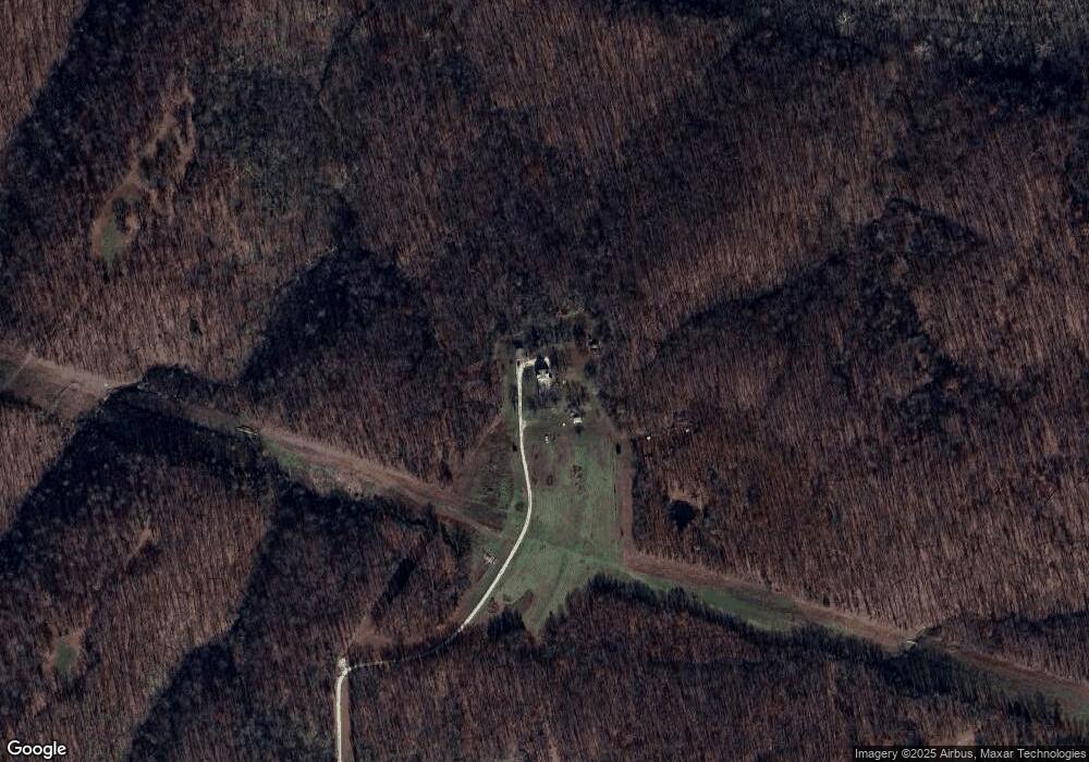
Map
Nearby Homes
- 25 Turkey Run Dr
- 0 Cedar Circle Ln Unit MIS25071955
- 401 Deep Forest Dr
- 64 Mocking Bird Ln
- 4 Ashley Ln
- 41 Parc Forest Trail
- 804 Timber Creek Ct
- 113 Bridlespur Ct
- 45 Blue Line Ln
- 100 Otto Ct
- 106 Otto Ct
- 339 White Rd
- 112 Otto Ct
- 118 Otto Ct
- 21 Saratoga Springs Dr
- 345 Quarry Rd
- 8 Summers Breeze Ct
- 2 Country Ridge Trail
- 155 Stepanek Rd
- 6.09 State Highway A
- 74 Crows Nest Dr
- 627 Turkey Creek Rd
- 643 Turkey Creek Rd
- 701 Turkey Creek Rd
- 754 Turkey Creek Rd
- 534 Turkey Creek Rd
- 102 Hawkeye Dr
- 531 Turkey Creek Rd
- 831 Turkey Creek Rd
- 512 Turkey Creek Rd
- 437 Turkey Creek Rd
- 467 Turkey Creek Rd
- 871 Turkey Creek Rd
- 419 Turkey Creek Rd
- 291 Hawkeye Dr
- 298 Hawkeye Dr
- 380 Turkey Creek Rd
- 27 Carrie Ln
- 29 Carrie Ln
Your Personal Tour Guide
Ask me questions while you tour the home.