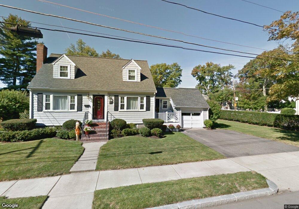
96 Damon Ave Melrose, MA 02176
Horace Mann NeighborhoodEstimated Value: $843,074 - $1,030,000
3
Beds
2
Baths
1,955
Sq Ft
$489/Sq Ft
Est. Value
About This Home
This home is located at 96 Damon Ave, Melrose, MA 02176 and is currently estimated at $956,769, approximately $489 per square foot. 96 Damon Ave is a home located in Middlesex County with nearby schools including Horace Mann Elementary School, Winthrop Elementary School, and Roosevelt Elementary School.
Ownership History
Date
Name
Owned For
Owner Type
Purchase Details
Closed on
Feb 6, 2023
Sold by
King William R and King Louanne M
Bought by
William R King 2023 Ret
Current Estimated Value
Purchase Details
Closed on
Feb 9, 2007
Sold by
King William R
Bought by
King Louanne Marie and King William R
Purchase Details
Closed on
May 31, 2006
Sold by
Belanger Christena M and King Christena M
Bought by
Sellars Carole L and King Herbert L
Create a Home Valuation Report for This Property
The Home Valuation Report is an in-depth analysis detailing your home's value as well as a comparison with similar homes in the area
Home Values in the Area
Average Home Value in this Area
Purchase History
| Date | Buyer | Sale Price | Title Company |
|---|---|---|---|
| William R King 2023 Ret | -- | None Available | |
| King Louanne Marie | -- | -- | |
| King William R | $300,000 | -- | |
| Sellars Carole L | -- | -- |
Source: Public Records
Tax History
| Year | Tax Paid | Tax Assessment Tax Assessment Total Assessment is a certain percentage of the fair market value that is determined by local assessors to be the total taxable value of land and additions on the property. | Land | Improvement |
|---|---|---|---|---|
| 2025 | $70 | $709,100 | $437,400 | $271,700 |
| 2024 | $6,820 | $686,800 | $424,900 | $261,900 |
| 2023 | $6,870 | $659,300 | $412,400 | $246,900 |
| 2022 | $6,487 | $613,700 | $374,900 | $238,800 |
| 2021 | $6,260 | $571,700 | $349,900 | $221,800 |
| 2020 | $6,316 | $571,600 | $349,900 | $221,700 |
| 2019 | $5,511 | $509,800 | $312,400 | $197,400 |
| 2018 | $5,281 | $466,100 | $268,700 | $197,400 |
| 2017 | $5,087 | $431,100 | $249,900 | $181,200 |
| 2016 | $5,214 | $422,900 | $249,900 | $173,000 |
| 2015 | $5,130 | $395,800 | $237,400 | $158,400 |
| 2014 | $4,926 | $370,900 | $212,500 | $158,400 |
Source: Public Records
Map
Nearby Homes
- 7 West St
- 9 Ledge St
- 89 Lovell Rd
- 176 Bay State Rd
- 93 Sweetwater St
- 58 Franklin St Unit 58
- 60 Franklin St Unit 60
- 225 Howard St
- 23 Ellsworth Ave
- 128 Green St Unit 128
- 24 Ellsworth Ave
- 51 Melrose St Unit 1C
- 51 Melrose St Unit 1A
- 53 Melrose St Unit 4D
- 601 Franklin St Unit 2
- 109 Linden Rd
- 15 Hickory Hill Rd
- 81 Spring St
- 11 Ludlow Ave
- 86 Lynn Fells Pkwy
- 69 Bay State Rd
- 92 Damon Ave
- 99 Damon Ave
- 65 Bay State Rd
- 76 Bay State Rd
- 104 Heywood Ave
- 70 Bay State Rd
- 84 Heywood Ave
- 84 Bay State Rd
- 93 Bay State Rd
- 108 Heywood Ave
- 64 Bay State Rd
- 90 Bay State Rd
- 86 Damon Ave
- 57 Bay State Rd
- 97 Bay State Rd
- 78 Heywood Ave
- 112 Heywood Ave
- 60 Bay State Rd
- 69 Hawley Rd
Your Personal Tour Guide
Ask me questions while you tour the home.