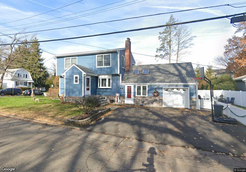
96 Dumont Ave Dumont, NJ 07628
Estimated Value: $651,725 - $721,000
--
Bed
--
Bath
1,876
Sq Ft
$370/Sq Ft
Est. Value
About This Home
This home is located at 96 Dumont Ave, Dumont, NJ 07628 and is currently estimated at $694,681, approximately $370 per square foot. 96 Dumont Ave is a home located in Bergen County with nearby schools including Dumont High School and Institute For Educational Achievement.
Ownership History
Date
Name
Owned For
Owner Type
Purchase Details
Closed on
Sep 4, 2003
Sold by
Hyland Thomas
Bought by
Laraia Scott and Laraia Deidre Spollen
Current Estimated Value
Home Financials for this Owner
Home Financials are based on the most recent Mortgage that was taken out on this home.
Original Mortgage
$256,000
Outstanding Balance
$118,840
Interest Rate
6.25%
Estimated Equity
$575,841
Purchase Details
Closed on
Aug 1, 1997
Sold by
Mcconville Patrick and Mcconville Catherine
Bought by
Hyland Thomas G and Hyland Kathleen A
Home Financials for this Owner
Home Financials are based on the most recent Mortgage that was taken out on this home.
Original Mortgage
$140,000
Interest Rate
7.56%
Create a Home Valuation Report for This Property
The Home Valuation Report is an in-depth analysis detailing your home's value as well as a comparison with similar homes in the area
Home Values in the Area
Average Home Value in this Area
Purchase History
| Date | Buyer | Sale Price | Title Company |
|---|---|---|---|
| Laraia Scott | $320,000 | -- | |
| Hyland Thomas G | $188,000 | -- |
Source: Public Records
Mortgage History
| Date | Status | Borrower | Loan Amount |
|---|---|---|---|
| Open | Laraia Scott | $256,000 | |
| Previous Owner | Hyland Thomas G | $140,000 |
Source: Public Records
Tax History Compared to Growth
Tax History
| Year | Tax Paid | Tax Assessment Tax Assessment Total Assessment is a certain percentage of the fair market value that is determined by local assessors to be the total taxable value of land and additions on the property. | Land | Improvement |
|---|---|---|---|---|
| 2025 | $12,410 | $620,800 | $280,000 | $340,800 |
| 2024 | $12,105 | $305,300 | $150,000 | $155,300 |
| 2023 | $11,855 | $305,300 | $150,000 | $155,300 |
| 2022 | $11,855 | $305,300 | $150,000 | $155,300 |
| 2021 | $11,797 | $305,300 | $150,000 | $155,300 |
| 2020 | $11,476 | $305,300 | $150,000 | $155,300 |
| 2019 | $11,201 | $305,300 | $150,000 | $155,300 |
| 2018 | $10,972 | $305,300 | $150,000 | $155,300 |
| 2017 | $10,762 | $305,300 | $150,000 | $155,300 |
| 2016 | $10,511 | $305,300 | $150,000 | $155,300 |
| 2015 | $10,270 | $305,300 | $150,000 | $155,300 |
| 2014 | $10,069 | $305,300 | $150,000 | $155,300 |
Source: Public Records
Map
Nearby Homes
- 79 Blauvelt Ave
- 40 Depew St
- 27A Park Ave
- 9 New York Ave
- 48 W Linden Ave
- 135 E Linden Ave
- 203 New York Ave
- 19 Bedford Rd
- 155 Johnson Ave
- 181 Phelps Ave
- 156 E Linden Ave
- 54 Huntting Dr
- 122 W Quackenbush Ave
- 51 Wood Place
- 6 Sherwood Rd
- 28 Wood Place
- 48 Colonial Pkwy
- 22 W Central Ave
- 136 Elm St
- 23 Cherry Ct
- 67 Thompson St
- 112 Dumont Ave
- 57 Thompson St
- 95 E Madison Ave
- 71 Thompson St
- 92 Dumont Ave
- 107 Dumont Ave
- 53 Thompson St
- 101 E Madison Ave Unit 1
- 101 E Madison Ave Unit 2
- 101 E Madison Ave
- 66 Thompson St
- 114 Dumont Ave
- 60 Thompson St
- 111 Dumont Ave
- 85 E Madison Ave
- 47 Thompson St
- 107 E Madison Ave
- 56 Thompson St
- 80 Dumont Ave