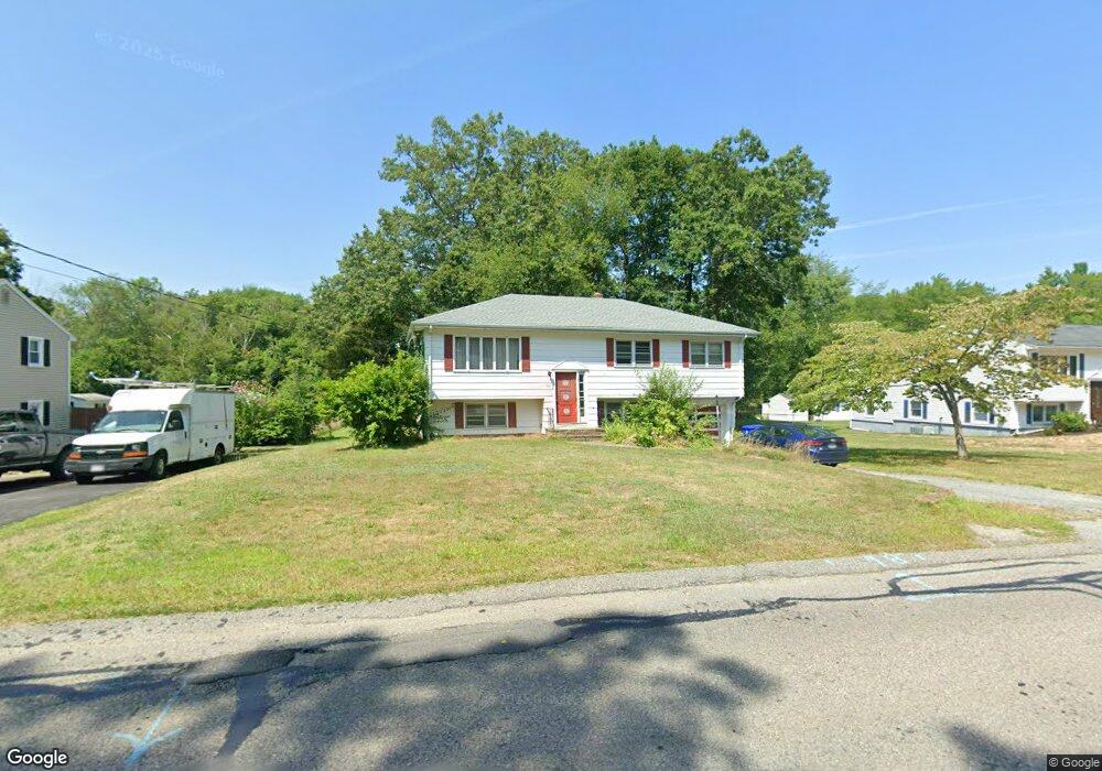
96 Dunbar St Taunton, MA 02780
Whittenton Junction NeighborhoodEstimated Value: $460,323 - $499,000
4
Beds
2
Baths
1,444
Sq Ft
$336/Sq Ft
Est. Value
About This Home
This home is located at 96 Dunbar St, Taunton, MA 02780 and is currently estimated at $485,081, approximately $335 per square foot. 96 Dunbar St is a home located in Bristol County with nearby schools including Benjamin Friedman Middle School, Joseph C. Chamberlain Elementary School, and Taunton High School.
Ownership History
Date
Name
Owned For
Owner Type
Purchase Details
Closed on
Apr 9, 2010
Sold by
Desilvia Helen and Dzepiel Helen J
Bought by
Burgess Jennifer L
Current Estimated Value
Home Financials for this Owner
Home Financials are based on the most recent Mortgage that was taken out on this home.
Original Mortgage
$220,924
Outstanding Balance
$145,309
Interest Rate
4.75%
Mortgage Type
FHA
Estimated Equity
$339,772
Create a Home Valuation Report for This Property
The Home Valuation Report is an in-depth analysis detailing your home's value as well as a comparison with similar homes in the area
Home Values in the Area
Average Home Value in this Area
Purchase History
| Date | Buyer | Sale Price | Title Company |
|---|---|---|---|
| Burgess Jennifer L | $225,000 | -- |
Source: Public Records
Mortgage History
| Date | Status | Borrower | Loan Amount |
|---|---|---|---|
| Open | Burgess Jennifer L | $220,924 |
Source: Public Records
Tax History Compared to Growth
Tax History
| Year | Tax Paid | Tax Assessment Tax Assessment Total Assessment is a certain percentage of the fair market value that is determined by local assessors to be the total taxable value of land and additions on the property. | Land | Improvement |
|---|---|---|---|---|
| 2025 | $4,177 | $381,800 | $118,900 | $262,900 |
| 2024 | $3,967 | $354,500 | $118,900 | $235,600 |
| 2023 | $3,963 | $328,900 | $118,900 | $210,000 |
| 2022 | $3,817 | $289,600 | $99,100 | $190,500 |
| 2021 | $3,600 | $253,500 | $90,100 | $163,400 |
| 2020 | $3,520 | $236,900 | $90,100 | $146,800 |
| 2019 | $3,592 | $227,900 | $90,100 | $137,800 |
| 2018 | $3,427 | $218,000 | $91,000 | $127,000 |
| 2017 | $3,211 | $204,400 | $86,300 | $118,100 |
| 2016 | $3,097 | $197,500 | $83,800 | $113,700 |
| 2015 | $2,937 | $195,700 | $81,500 | $114,200 |
| 2014 | $2,837 | $194,200 | $81,500 | $112,700 |
Source: Public Records
Map
Nearby Homes
- 0 Norton Ave Unit 73445127
- 2 Upland Rd
- 22 Southway
- 17 Davis St
- 79 Fremont St
- 20 Grand Ave
- 137 Tremont St
- 193 Fremont St
- 16 Hunter St Unit A
- 214 Eldridge St
- 110 Eldridge St Unit B
- 108 Tremont St
- 99 Tremont St
- 96 Danforth St Unit 49
- 8 N Walker St
- 563 Whittenton St
- 169 Powderhorn Dr
- 0 Whittenton St
- 55 Highland Ave
- 750 Whittenton St Unit 523