96 E High St Union City, PA 16438
Estimated Value: $119,000 - $192,000
6
Beds
1
Bath
1,955
Sq Ft
$78/Sq Ft
Est. Value
About This Home
This home is located at 96 E High St, Union City, PA 16438 and is currently estimated at $152,946, approximately $78 per square foot. 96 E High St is a home located in Erie County with nearby schools including Union City Elementary School, Union City Middle School, and Union City High School.
Ownership History
Date
Name
Owned For
Owner Type
Purchase Details
Closed on
Dec 12, 2022
Sold by
Elder Gloria
Bought by
Smith Alex
Current Estimated Value
Purchase Details
Closed on
May 22, 2000
Sold by
Wolff Fitzgerald W
Bought by
Elder Leonard J and Elder Gloria A
Home Financials for this Owner
Home Financials are based on the most recent Mortgage that was taken out on this home.
Original Mortgage
$41,600
Interest Rate
7.67%
Create a Home Valuation Report for This Property
The Home Valuation Report is an in-depth analysis detailing your home's value as well as a comparison with similar homes in the area
Home Values in the Area
Average Home Value in this Area
Purchase History
| Date | Buyer | Sale Price | Title Company |
|---|---|---|---|
| Smith Alex | $2,600 | -- | |
| Elder Leonard J | $20,500 | -- |
Source: Public Records
Mortgage History
| Date | Status | Borrower | Loan Amount |
|---|---|---|---|
| Previous Owner | Elder Leonard J | $41,600 |
Source: Public Records
Tax History Compared to Growth
Tax History
| Year | Tax Paid | Tax Assessment Tax Assessment Total Assessment is a certain percentage of the fair market value that is determined by local assessors to be the total taxable value of land and additions on the property. | Land | Improvement |
|---|---|---|---|---|
| 2025 | $1,970 | $69,400 | $15,600 | $53,800 |
| 2024 | $1,970 | $69,400 | $15,600 | $53,800 |
| 2023 | $1,846 | $69,400 | $15,600 | $53,800 |
| 2022 | $1,825 | $69,400 | $15,600 | $53,800 |
| 2021 | $1,845 | $69,400 | $15,600 | $53,800 |
| 2020 | $1,747 | $69,400 | $15,600 | $53,800 |
| 2019 | $1,734 | $69,400 | $15,600 | $53,800 |
| 2018 | $1,723 | $69,400 | $15,600 | $53,800 |
| 2017 | $1,696 | $69,400 | $15,600 | $53,800 |
| 2016 | $1,848 | $69,400 | $15,600 | $53,800 |
| 2015 | $1,831 | $69,400 | $15,600 | $53,800 |
| 2014 | $1,105 | $69,400 | $15,600 | $53,800 |
Source: Public Records
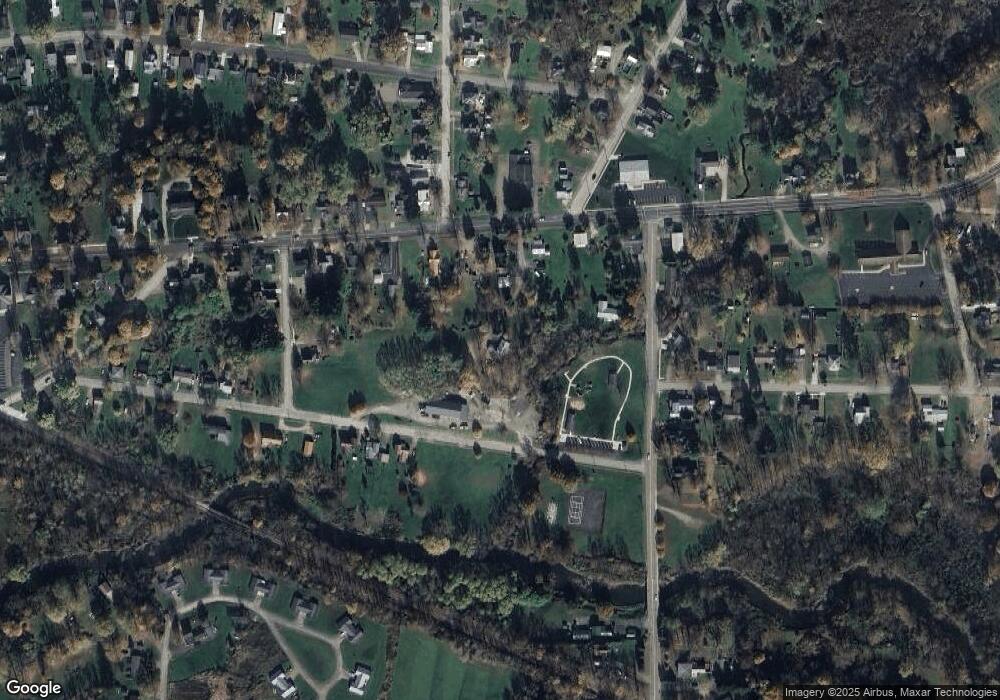
Map
Nearby Homes
- 15771 Old Wattsburg Rd
- 110 N Main St
- 24 Gillette St
- 92 S Main St
- 108 S Main St
- 23 Center St
- 139 S Main St
- 58 Odell St
- Lot 1 Dobbs Rd
- LOT 4 Danner Dr & Lot 15 Linda Ln
- LOT 3 Danner Dr & Lot 14 Linda Ln
- LOT 1 Danner Dr & Lot 12 Linda Ln
- LOT 2 & 13 Danner Dr & Linda Ln
- 15900 Wattsburg-Union Rd
- 10500 U S 6
- 11097 Route 6
- 11111 Nash Hill Rd
- 11320 Nash Hill Rd
- 25630 Hungry Run Rd
- Lot 614 637 638 Weed Rd