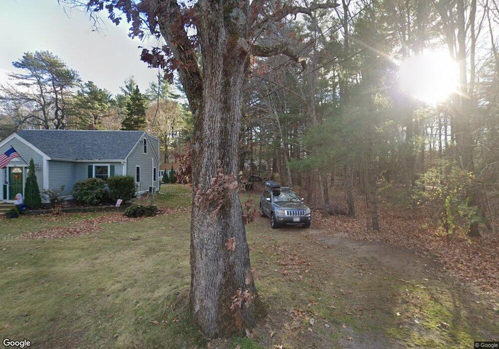
96 Folly Mill Rd Salisbury, MA 01952
Estimated Value: $707,114 - $813,000
3
Beds
2
Baths
1,542
Sq Ft
$477/Sq Ft
Est. Value
About This Home
This home is located at 96 Folly Mill Rd, Salisbury, MA 01952 and is currently estimated at $735,779, approximately $477 per square foot. 96 Folly Mill Rd is a home located in Essex County with nearby schools including Triton Regional High School.
Ownership History
Date
Name
Owned For
Owner Type
Purchase Details
Closed on
Mar 25, 2025
Sold by
Shields Dale
Bought by
Dale L Shields Lt and Shields
Current Estimated Value
Purchase Details
Closed on
Mar 7, 2022
Sold by
Dockham Donna M and Dockham Daniel E
Bought by
Dockham Daniel E and Dockham Donna M
Home Financials for this Owner
Home Financials are based on the most recent Mortgage that was taken out on this home.
Original Mortgage
$368,000
Interest Rate
3.92%
Mortgage Type
Stand Alone Refi Refinance Of Original Loan
Purchase Details
Closed on
Apr 3, 2006
Sold by
Taylor Carole A and Taylor Frederick D
Bought by
Shields Dale and Shields Kathy
Home Financials for this Owner
Home Financials are based on the most recent Mortgage that was taken out on this home.
Original Mortgage
$259,900
Interest Rate
6.32%
Mortgage Type
Purchase Money Mortgage
Create a Home Valuation Report for This Property
The Home Valuation Report is an in-depth analysis detailing your home's value as well as a comparison with similar homes in the area
Home Values in the Area
Average Home Value in this Area
Purchase History
| Date | Buyer | Sale Price | Title Company |
|---|---|---|---|
| Dale L Shields Lt | -- | None Available | |
| Dockham Daniel E | -- | None Available | |
| Shields Dale | $388,900 | -- | |
| Shields Dale | $388,900 | -- |
Source: Public Records
Mortgage History
| Date | Status | Borrower | Loan Amount |
|---|---|---|---|
| Previous Owner | Dockham Daniel E | $368,000 | |
| Previous Owner | Shields Dale | $259,900 |
Source: Public Records
Tax History Compared to Growth
Tax History
| Year | Tax Paid | Tax Assessment Tax Assessment Total Assessment is a certain percentage of the fair market value that is determined by local assessors to be the total taxable value of land and additions on the property. | Land | Improvement |
|---|---|---|---|---|
| 2025 | $5,287 | $524,500 | $173,500 | $351,000 |
| 2024 | $5,296 | $506,800 | $173,500 | $333,300 |
| 2023 | $3,953 | $454,400 | $173,500 | $280,900 |
| 2022 | $3,739 | $439,200 | $158,300 | $280,900 |
| 2021 | $3,666 | $427,100 | $158,300 | $268,800 |
| 2020 | $4,449 | $388,200 | $158,300 | $229,900 |
| 2019 | $3,476 | $371,500 | $158,900 | $212,600 |
| 2018 | $3,424 | $367,300 | $158,900 | $208,400 |
| 2017 | $3,056 | $337,200 | $137,100 | $200,100 |
| 2016 | $3,934 | $337,100 | $130,500 | $206,600 |
| 2015 | $3,912 | $332,900 | $129,900 | $203,000 |
Source: Public Records
Map
Nearby Homes
- 106 Folly Mill Rd
- 61 Folly Mill Rd
- 81 Elm Ct
- 75 Border Winds Ave
- 84 Blacksnake Rd Unit A
- 84 Blacksnake Rd Unit B
- 213 New Hampshire 107
- 2 Adder Ln
- 20 Railroad Ave
- 10 High St
- 241 & 245 Lafayette Rd
- 22 Maple Ridge Rd
- 28 Brooks Rd
- 2 Collins St
- 188 Lafayette Rd
- 38 Rocks Rd Unit 2
- 38 Rocks Rd Unit 1
- 7 Toll Rd
- 22 Farm Ln
- 51 Locust St
- 10 Kel Lori Dr
- 98 Folly Mill Rd
- 12 Kel Lori Dr
- 94 Folly Mill Rd
- 8 Kel Lori Dr
- 6 Kel Lori Dr
- 100 Folly Mill Rd
- 7 Kel Lori Dr
- 92 Folly Mill Rd
- 9 Kel Lori Dr
- 4 Kel Lori Dr
- 5 Kel Lori Dr
- 102 Folly Mill Rd
- 101 Folly Mill Rd
- 99 Folly Mill Rd
- 3 Kel Lori Dr
- 104 Folly Mill Rd
- 103 Folly Mill Rd
- 109 Folly Mill Rd
- 107 Folly Mill Rd