96 Locust Rd Kaiser, MI 65047
Estimated Value: $294,000 - $418,000
Studio
2
Baths
1,577
Sq Ft
$229/Sq Ft
Est. Value
About This Home
This home is located at 96 Locust Rd, Kaiser, MI 65047 and is currently estimated at $360,659, approximately $228 per square foot. 96 Locust Rd is a home located in Miller County with nearby schools including Heritage Elementary School, Osage Upper Elementary School, and Osage Middle School.
Ownership History
Date
Name
Owned For
Owner Type
Purchase Details
Closed on
Jun 11, 2012
Sold by
Binkely Jonathan and Binkely Kali
Bought by
Rader Michael S and Rader Jodi M
Current Estimated Value
Purchase Details
Closed on
Nov 30, 2009
Sold by
Transue Marlene
Bought by
Binkley Jonathan and Binkley Kali
Home Financials for this Owner
Home Financials are based on the most recent Mortgage that was taken out on this home.
Original Mortgage
$110,000
Interest Rate
4.99%
Mortgage Type
New Conventional
Create a Home Valuation Report for This Property
The Home Valuation Report is an in-depth analysis detailing your home's value as well as a comparison with similar homes in the area
Purchase History
| Date | Buyer | Sale Price | Title Company |
|---|---|---|---|
| Rader Michael S | -- | None Available | |
| Binkley Jonathan | -- | None Available |
Source: Public Records
Mortgage History
| Date | Status | Borrower | Loan Amount |
|---|---|---|---|
| Previous Owner | Binkley Jonathan | $110,000 |
Source: Public Records
Tax History
| Year | Tax Paid | Tax Assessment Tax Assessment Total Assessment is a certain percentage of the fair market value that is determined by local assessors to be the total taxable value of land and additions on the property. | Land | Improvement |
|---|---|---|---|---|
| 2025 | $1,444 | $30,780 | $1,900 | $28,880 |
| 2024 | $1,234 | $27,050 | $1,900 | $25,150 |
| 2023 | $1,308 | $27,050 | $1,900 | $25,150 |
| 2022 | $1,314 | $27,050 | $1,900 | $25,150 |
| 2021 | $1,315 | $27,050 | $1,900 | $25,150 |
| 2020 | $1,190 | $24,090 | $1,900 | $22,190 |
| 2019 | $1,192 | $24,090 | $1,900 | $22,190 |
| 2018 | $956 | $18,930 | $1,900 | $17,030 |
| 2017 | $889 | $19,330 | $1,900 | $17,430 |
| 2016 | $876 | $19,330 | $0 | $0 |
| 2015 | -- | $19,330 | $0 | $0 |
| 2012 | -- | $19,680 | $0 | $0 |
Source: Public Records
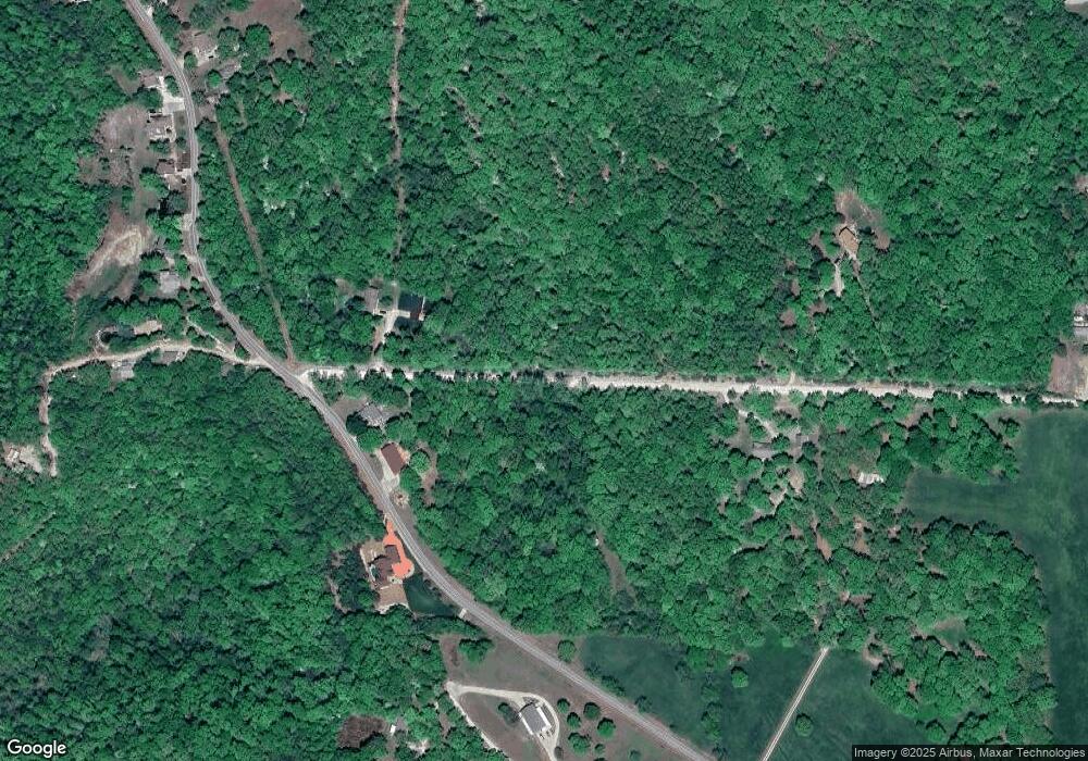
Map
Nearby Homes
- 749 Highway D
- 831 College Blvd
- 79 Wood River Rd
- TBD Scottish Landing Rd
- F Osage Beach Pkwy
- 0 Holiday Shores Dr
- 4194 Holiday Shores Dr Unit 18
- Tract C Hwy 242
- 1130 Rachel Rd Unit 305
- 4212 Holiday Ln Unit VILLA 21
- 4198 Holiday Shores Dr Unit 12
- 1118 Rachel Rd Unit 35
- Tract E Hwy 242
- 4230 Holiday Shores Dr Unit 24
- 186 Frudeger Rd
- Lot 26, 27 and 29 Forrest Hills Acres
- 150 Forrest Hills Dr
- 724 Indian Pointe Unit 724
- 1011 Indian Pointe Unit 1011
- Lot 32 Forest Hills Dr
- #4 E Hwy 42 Business Park
- 7 Crestwood Dr
- 70 Whitney Way
- 110 Hanks Haven
- 442 Hanks Haven
- 680 Bear Creek
- 000 Bear Creek Rd & Hwy 42
- 5 Crestwood
- Lot 17 Springdale Ln
- Lot 10 Springdale Ln
- Lot 18 Springdale Ln
- 60Acre Kaiser
- 9 Hanks Haven
- 7E Hwy 42
- Lot 29 Locust Rd
- Lot 6 Locust Rd
- 16 Oak Bend Rd
- 27 Oak Bend Rd
- 73 N Star Cir
- 73 North Star Cir
Your Personal Tour Guide
Ask me questions while you tour the home.