96 Loring Ln Pownal, ME 04069
Estimated Value: $460,615 - $621,000
3
Beds
2
Baths
1,556
Sq Ft
$329/Sq Ft
Est. Value
About This Home
This home is located at 96 Loring Ln, Pownal, ME 04069 and is currently estimated at $511,404, approximately $328 per square foot. 96 Loring Ln is a home with nearby schools including Freeport High School.
Ownership History
Date
Name
Owned For
Owner Type
Purchase Details
Closed on
May 29, 2019
Sold by
Callnan Kimberly D and Callnan Kevin P
Bought by
Callnan Kevin P and Callnan Kimberly D
Current Estimated Value
Home Financials for this Owner
Home Financials are based on the most recent Mortgage that was taken out on this home.
Original Mortgage
$205,000
Interest Rate
4.1%
Mortgage Type
New Conventional
Create a Home Valuation Report for This Property
The Home Valuation Report is an in-depth analysis detailing your home's value as well as a comparison with similar homes in the area
Home Values in the Area
Average Home Value in this Area
Purchase History
| Date | Buyer | Sale Price | Title Company |
|---|---|---|---|
| Callnan Kevin P | -- | -- | |
| Callnan Kevin P | -- | -- |
Source: Public Records
Mortgage History
| Date | Status | Borrower | Loan Amount |
|---|---|---|---|
| Closed | Callnan Kevin P | $205,000 |
Source: Public Records
Tax History Compared to Growth
Tax History
| Year | Tax Paid | Tax Assessment Tax Assessment Total Assessment is a certain percentage of the fair market value that is determined by local assessors to be the total taxable value of land and additions on the property. | Land | Improvement |
|---|---|---|---|---|
| 2024 | $5,256 | $309,200 | $62,100 | $247,100 |
| 2023 | $4,860 | $257,800 | $51,800 | $206,000 |
| 2022 | $4,640 | $257,800 | $51,800 | $206,000 |
| 2021 | $4,640 | $257,800 | $51,800 | $206,000 |
| 2020 | $6,261 | $257,800 | $51,800 | $206,000 |
| 2019 | $0 | $177,800 | $51,800 | $126,000 |
| 2018 | $862 | $177,800 | $51,800 | $126,000 |
| 2017 | $3,067 | $177,800 | $51,800 | $126,000 |
| 2016 | $2,934 | $177,800 | $51,800 | $126,000 |
| 2015 | $3,044 | $90,200 | $18,600 | $71,600 |
| 2014 | $3,112 | $90,200 | $18,600 | $71,600 |
| 2013 | $3,134 | $90,200 | $18,600 | $71,600 |
Source: Public Records
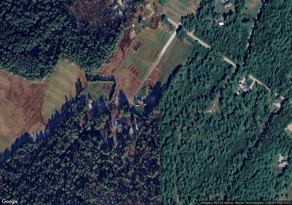
Map
Nearby Homes
- 238 Hallowell Rd
- 118 Royal Rd
- 162 Merrill Rd
- 4 Harper's Trail
- 304 Pownal Rd
- 395 New Gloucester Rd
- 890 Elmwood Rd
- 0 New Gloucester Rd
- 247 Ledge Rd
- 31 Sequoia Dr
- 15 Sequoia Dr
- 026-01 Dow Ln
- 244 Allen Rd
- 284 Allen Rd
- 79 Birchwood Terrace
- 53 Ridgewood Ln
- 37 Ridgewood Ln
- 8 Statler Ln
- 137 Durham Rd
- 15 Percy St