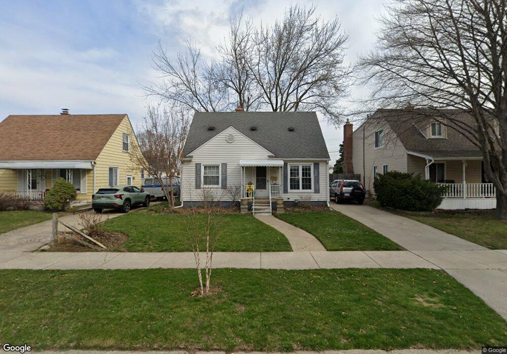
96 Massoit St Clawson, MI 48017
Estimated Value: $234,928 - $279,000
About This Home
This home is located at 96 Massoit St, Clawson, MI 48017 and is currently estimated at $248,232, approximately $261 per square foot. 96 Massoit St is a home located in Oakland County with nearby schools including Clawson Middle School, Clawson High School, and Guardian Angels School.
Ownership History
We collect this data history from publicly available records. To have your information removed, we recommend requesting removal directly through your county’s website.
Purchase Details
Home Financials for this Owner
Home Financials are based on the most recent Mortgage that was taken out on this home.Purchase Details
Home Values in the Area
Average Home Value in this Area
Purchase History
We collect this data history from publicly available records. To have your information removed, we recommend requesting removal directly through your county’s website.
| Date | Buyer | Sale Price | Title Company |
|---|---|---|---|
| -- | Amrock | ||
| -- | -- |
Mortgage History
We collect this data history from publicly available records. To have your information removed, we recommend requesting removal directly through your county’s website.
| Date | Status | Borrower | Loan Amount |
|---|---|---|---|
| Open | $192,877 |
Tax History
We collect this data history from publicly available records. To have your information removed, we recommend requesting removal directly through your county’s website.
| Year | Tax Paid | Tax Assessment Tax Assessment Total Assessment is a certain percentage of the fair market value that is determined by local assessors to be the total taxable value of land and additions on the property. | Land | Improvement |
|---|---|---|---|---|
| 2025 | $2,272 | $96,180 | $0 | $0 |
| 2024 | $2,125 | $91,960 | $0 | $0 |
| 2023 | $2,850 | $82,300 | $0 | $0 |
| 2022 | $2,827 | $76,190 | $0 | $0 |
| 2021 | $2,761 | $70,930 | $0 | $0 |
| 2020 | $2,689 | $66,190 | $0 | $0 |
| 2019 | $2,740 | $62,690 | $0 | $0 |
| 2018 | $2,699 | $58,590 | $0 | $0 |
| 2017 | $2,682 | $56,100 | $0 | $0 |
| 2016 | $2,023 | $52,040 | $0 | $0 |
| 2015 | -- | $47,850 | $0 | $0 |
| 2014 | -- | $41,970 | $0 | $0 |
| 2011 | -- | $38,340 | $0 | $0 |
Map
- 246 Massoit St
- 332 Normandy Rd
- 56 Charlevoix St
- 327 Normandy Rd
- 122 Jeffrey Ave
- 310 Massoit St
- 102 Jeffrey Ave
- 256 W Tacoma St
- 295 Madison Ave
- 503 Charlotte Ave
- 428 Bauman Ave
- 30 S Custer Ave
- 128 Mount Vernon Blvd
- 527 E Sunnybrook Dr
- 525 Broadacre Ave
- 220 S Marias Ave
- 133 N Bywood Ave
- 3307 N Washington Ave
- 406 Woodlawn Ave
- 3319 N Washington Ave
Ask me questions while you tour the home.