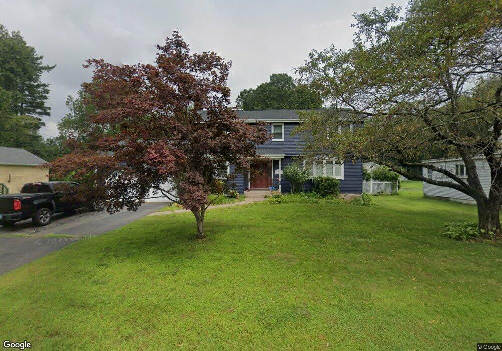
96 Niles Rd Windsor, CT 06095
West Windsor NeighborhoodEstimated Value: $347,000 - $453,000
4
Beds
3
Baths
1,996
Sq Ft
$206/Sq Ft
Est. Value
About This Home
This home is located at 96 Niles Rd, Windsor, CT 06095 and is currently estimated at $411,228, approximately $206 per square foot. 96 Niles Rd is a home located in Hartford County with nearby schools including Poquonock Elementary School, Clover Street School, and Sage Park Middle School.
Ownership History
Date
Name
Owned For
Owner Type
Purchase Details
Closed on
Mar 2, 2021
Sold by
Higgins Olga T and Higgins Diane
Bought by
Mcglynn Emma and Mcglynn Jonathan
Current Estimated Value
Home Financials for this Owner
Home Financials are based on the most recent Mortgage that was taken out on this home.
Original Mortgage
$190,400
Outstanding Balance
$170,292
Interest Rate
2.7%
Mortgage Type
Future Advance Clause Open End Mortgage
Estimated Equity
$240,936
Purchase Details
Closed on
Mar 1, 2021
Sold by
Higgins Dinald J Est and Higgins
Bought by
Mcglynn Emma and Mcglynn Jonathan
Home Financials for this Owner
Home Financials are based on the most recent Mortgage that was taken out on this home.
Original Mortgage
$190,400
Outstanding Balance
$170,292
Interest Rate
2.7%
Mortgage Type
Future Advance Clause Open End Mortgage
Estimated Equity
$240,936
Create a Home Valuation Report for This Property
The Home Valuation Report is an in-depth analysis detailing your home's value as well as a comparison with similar homes in the area
Home Values in the Area
Average Home Value in this Area
Purchase History
| Date | Buyer | Sale Price | Title Company |
|---|---|---|---|
| Mcglynn Emma | $119,000 | None Available | |
| Mcglynn Emma | $119,000 | None Available |
Source: Public Records
Mortgage History
| Date | Status | Borrower | Loan Amount |
|---|---|---|---|
| Open | Mcglynn Emma | $190,400 |
Source: Public Records
Tax History
| Year | Tax Paid | Tax Assessment Tax Assessment Total Assessment is a certain percentage of the fair market value that is determined by local assessors to be the total taxable value of land and additions on the property. | Land | Improvement |
|---|---|---|---|---|
| 2025 | $6,895 | $242,340 | $70,000 | $172,340 |
| 2024 | $7,348 | $242,340 | $70,000 | $172,340 |
| 2023 | $5,626 | $167,440 | $53,550 | $113,890 |
| 2022 | $5,571 | $167,440 | $53,550 | $113,890 |
| 2021 | $5,571 | $167,440 | $53,550 | $113,890 |
| 2020 | $5,544 | $167,440 | $53,550 | $113,890 |
| 2019 | $5,422 | $167,440 | $53,550 | $113,890 |
| 2018 | $5,290 | $160,510 | $53,550 | $106,960 |
| 2017 | $5,209 | $160,510 | $53,550 | $106,960 |
| 2016 | $5,059 | $160,510 | $53,550 | $106,960 |
| 2015 | $4,963 | $160,510 | $53,550 | $106,960 |
| 2014 | $4,891 | $160,510 | $53,550 | $106,960 |
Source: Public Records
Map
Nearby Homes
- 109 Old Village Cir
- 35 Hollow Brook Rd
- 58 Hollow Brook Rd
- 10 Cleary Ln
- 105 Sunrise Cir
- 24 Mary Catherine Cir
- 1 Deanne Lynn Cir
- 31 Woodduck Farms Rd
- 485 River St
- 22 Eastview Dr
- 106 Rockybrook
- 3 Concorde Way Unit B1
- 98 High Path Rd
- 136 High Path Rd
- 5 Haskins Rd Unit 5
- 943 High Path Rd Unit 943
- 32 Walnut Cir
- 268 High Path Rd Unit 268
- 0 Walnut and Larch Dr
- 0 Walnut Dr
Your Personal Tour Guide
Ask me questions while you tour the home.