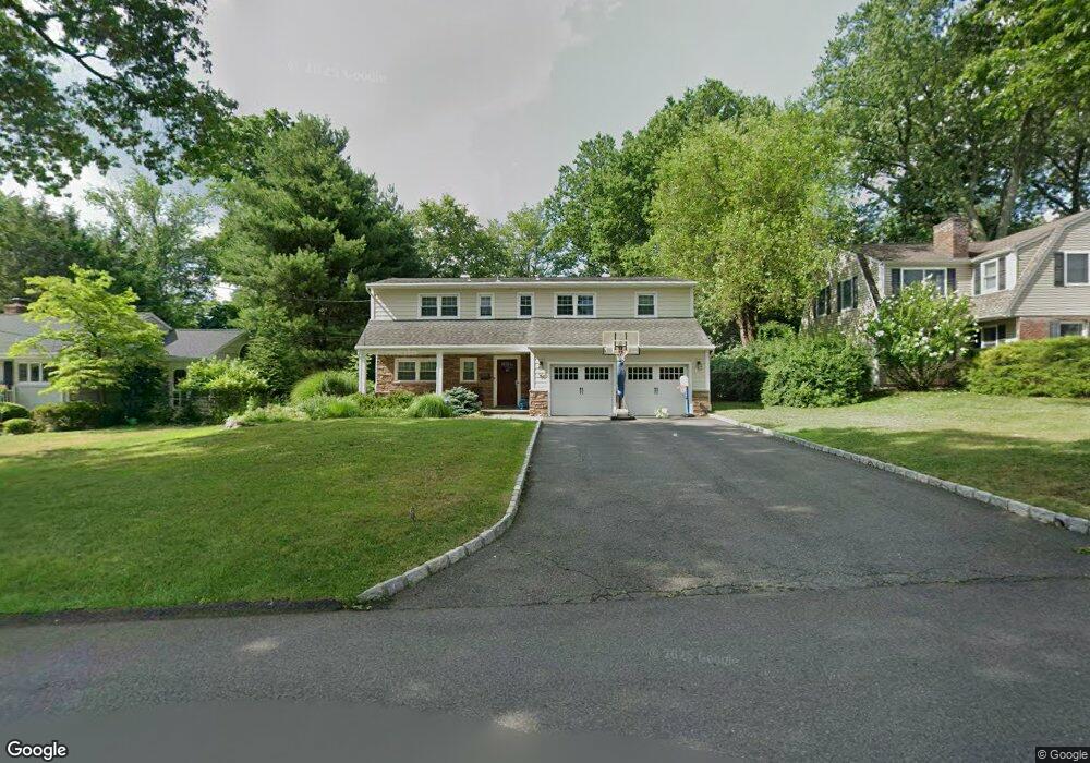
96 Nottingham Rd Ramsey, NJ 07446
Estimated Value: $851,000 - $927,000
4
Beds
3
Baths
1,917
Sq Ft
$463/Sq Ft
Est. Value
About This Home
This home is located at 96 Nottingham Rd, Ramsey, NJ 07446 and is currently estimated at $888,364, approximately $463 per square foot. 96 Nottingham Rd is a home located in Bergen County with nearby schools including Ramsey High School.
Ownership History
Date
Name
Owned For
Owner Type
Purchase Details
Closed on
Jul 13, 2020
Sold by
Imperial Timothy A and Imperial Jennifer R
Bought by
Pines Sam and Yoskowitz Sara
Current Estimated Value
Create a Home Valuation Report for This Property
The Home Valuation Report is an in-depth analysis detailing your home's value as well as a comparison with similar homes in the area
Home Values in the Area
Average Home Value in this Area
Purchase History
| Date | Buyer | Sale Price | Title Company |
|---|---|---|---|
| Pines Sam | $615,000 | Acres Land Title Agency Inc |
Source: Public Records
Tax History
| Year | Tax Paid | Tax Assessment Tax Assessment Total Assessment is a certain percentage of the fair market value that is determined by local assessors to be the total taxable value of land and additions on the property. | Land | Improvement |
|---|---|---|---|---|
| 2025 | $14,878 | $679,500 | $363,700 | $315,800 |
| 2024 | $14,429 | $527,200 | $302,300 | $224,900 |
| 2023 | $13,828 | $527,200 | $302,300 | $224,900 |
| 2022 | $13,828 | $527,200 | $302,300 | $224,900 |
| 2021 | $13,670 | $527,200 | $302,300 | $224,900 |
| 2020 | $13,549 | $527,200 | $302,300 | $224,900 |
| 2019 | $12,959 | $527,200 | $302,300 | $224,900 |
| 2018 | $12,637 | $527,200 | $302,300 | $224,900 |
| 2017 | $12,350 | $525,100 | $302,300 | $222,800 |
| 2016 | $12,009 | $525,100 | $302,300 | $222,800 |
| 2015 | $13,051 | $483,200 | $295,800 | $187,400 |
| 2014 | $12,829 | $483,200 | $295,800 | $187,400 |
Source: Public Records
Map
Nearby Homes
- 33 Sherwood Dr
- 19 Crescent Hollow Ct
- 75 Cherokee Ave
- 7 Brookside Dr
- 19 Fox Run Rd Unit 19
- 56 Pinehill Dr
- 5306 Christopher St
- 48 Pleasant Ave
- 22 Pembroke Trail
- 210 Washington Dr
- 18 Wildwood Rd
- 100 Lake St
- 903 Washington Dr
- 901 Washington Dr
- 44 N Central Ave
- 92 W Main St
- 96 W Main St
- 98 W Main St
- 89 Church St
- 8 Crestwood Mews
- 100 Nottingham Rd
- 84 Nottingham Rd
- 108 Nottingham Rd
- 82 Nottingham Rd
- 23 Overlook Ct
- 19 Overlook Ct
- 27 Overlook Ct
- 99 Nottingham Rd
- 87 Nottingham Rd
- 80 Nottingham Rd
- 15 Overlook Ct
- 116 Nottingham Rd
- 103 Nottingham Rd
- 21 E Crescent Ave
- 79 Nottingham Rd
- 37 Overlook Ct
- 111 Nottingham Rd
- 72 Nottingham Rd
- 75 Nottingham Rd
- 11 E Crescent Ave
Your Personal Tour Guide
Ask me questions while you tour the home.