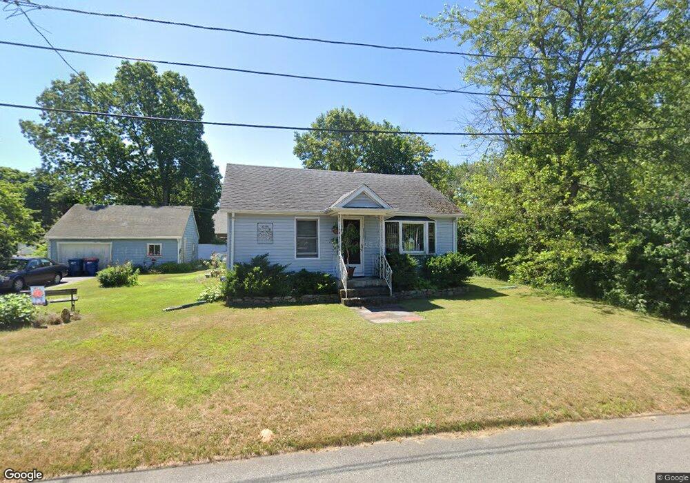
96 Oak St Seekonk, MA 02771
Estimated Value: $392,863 - $456,000
2
Beds
1
Bath
1,218
Sq Ft
$343/Sq Ft
Est. Value
About This Home
This home is located at 96 Oak St, Seekonk, MA 02771 and is currently estimated at $417,216, approximately $342 per square foot. 96 Oak St is a home located in Bristol County with nearby schools including Seekonk High School, St Margaret School, and The Wolf School.
Ownership History
Date
Name
Owned For
Owner Type
Purchase Details
Closed on
Nov 20, 2006
Sold by
Allen Dennis W
Bought by
Allen Alice M
Current Estimated Value
Purchase Details
Closed on
May 24, 2001
Sold by
Vassar Roland L and Vassar Marcia T
Bought by
Allen Dennis W and Allen Alice M
Home Financials for this Owner
Home Financials are based on the most recent Mortgage that was taken out on this home.
Original Mortgage
$147,250
Interest Rate
7.05%
Mortgage Type
Purchase Money Mortgage
Purchase Details
Closed on
Jul 30, 1996
Sold by
Nicholson Robert E and Nicholson Joanne T
Bought by
Vassar Roland L and Vassar Marcia T
Home Financials for this Owner
Home Financials are based on the most recent Mortgage that was taken out on this home.
Original Mortgage
$106,700
Interest Rate
8.37%
Mortgage Type
Purchase Money Mortgage
Create a Home Valuation Report for This Property
The Home Valuation Report is an in-depth analysis detailing your home's value as well as a comparison with similar homes in the area
Home Values in the Area
Average Home Value in this Area
Purchase History
| Date | Buyer | Sale Price | Title Company |
|---|---|---|---|
| Allen Alice M | -- | -- | |
| Allen Dennis W | $155,000 | -- | |
| Vassar Roland L | $107,000 | -- |
Source: Public Records
Mortgage History
| Date | Status | Borrower | Loan Amount |
|---|---|---|---|
| Open | Vassar Roland L | $187,800 | |
| Previous Owner | Vassar Roland L | $147,250 | |
| Previous Owner | Vassar Roland L | $106,700 |
Source: Public Records
Tax History Compared to Growth
Tax History
| Year | Tax Paid | Tax Assessment Tax Assessment Total Assessment is a certain percentage of the fair market value that is determined by local assessors to be the total taxable value of land and additions on the property. | Land | Improvement |
|---|---|---|---|---|
| 2025 | $3,908 | $316,400 | $147,500 | $168,900 |
| 2024 | $3,785 | $306,500 | $147,500 | $159,000 |
| 2023 | $3,354 | $255,800 | $125,300 | $130,500 |
| 2022 | $3,110 | $233,100 | $120,000 | $113,100 |
| 2021 | $2,934 | $216,200 | $105,200 | $111,000 |
| 2020 | $2,772 | $210,500 | $105,300 | $105,200 |
| 2019 | $2,622 | $200,800 | $100,400 | $100,400 |
| 2018 | $2,581 | $193,300 | $97,600 | $95,700 |
| 2017 | $2,727 | $202,600 | $95,200 | $107,400 |
| 2016 | $2,632 | $196,300 | $89,400 | $106,900 |
| 2015 | $2,561 | $193,600 | $89,400 | $104,200 |
Source: Public Records
Map
Nearby Homes
- 12 Arthur St
- 224 Arcade Ave
- 442 Taunton Ave
- 0 Pleasant St
- 0 Patterson St Unit 73348933
- 62 Chestnut St
- 24 Morra Way
- 181 Hope St
- 63 Greenwood Ave Unit 65
- 0 Arcade Ave Unit 73446971
- 296 Fall River Ave
- 0 Milton St Unit 72633661
- 0 Taunton Ave
- 181 Sherman Ave
- 62 Byron Ave
- 50 Redland Ave
- 71 Priscilla Ave
- 824 Taunton Ave
- 0 Newman Ave Rear
- 282 West Ave