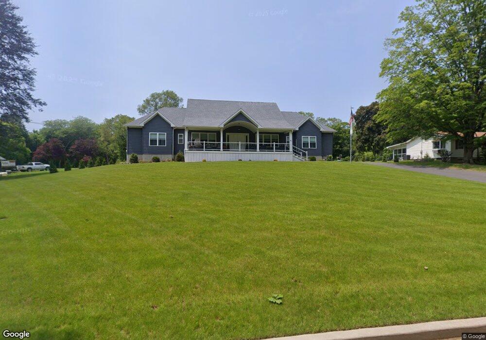
96 Platt Ln Milford, CT 06461
Post Road North NeighborhoodEstimated Value: $837,000 - $1,248,095
4
Beds
5
Baths
3,588
Sq Ft
$294/Sq Ft
Est. Value
About This Home
This home is located at 96 Platt Ln, Milford, CT 06461 and is currently estimated at $1,054,524, approximately $293 per square foot. 96 Platt Ln is a home with nearby schools including Orange Avenue School, Harborside Middle School, and Joseph A. Foran High School.
Ownership History
Date
Name
Owned For
Owner Type
Purchase Details
Closed on
Jun 29, 2021
Sold by
A & S Property Llc
Bought by
Arnone Michael
Current Estimated Value
Purchase Details
Closed on
Nov 19, 2020
Sold by
Ruth Hassenmayer Ret and Hassenmayer
Bought by
A & S Property Llc
Create a Home Valuation Report for This Property
The Home Valuation Report is an in-depth analysis detailing your home's value as well as a comparison with similar homes in the area
Home Values in the Area
Average Home Value in this Area
Purchase History
| Date | Buyer | Sale Price | Title Company |
|---|---|---|---|
| Arnone Michael | $275,000 | None Available | |
| Arnone Michael | $275,000 | None Available | |
| Arnone Michael | $275,000 | None Available | |
| A & S Property Llc | $219,900 | None Available | |
| A & S Property Llc | $219,900 | None Available |
Source: Public Records
Tax History Compared to Growth
Tax History
| Year | Tax Paid | Tax Assessment Tax Assessment Total Assessment is a certain percentage of the fair market value that is determined by local assessors to be the total taxable value of land and additions on the property. | Land | Improvement |
|---|---|---|---|---|
| 2025 | $19,413 | $656,970 | $127,970 | $529,000 |
| 2024 | $19,144 | $656,970 | $127,970 | $529,000 |
| 2023 | $3,504 | $128,980 | $127,970 | $1,010 |
| 2022 | $3,437 | $128,980 | $127,970 | $1,010 |
| 2021 | $2,393 | $86,530 | $85,520 | $1,010 |
| 2020 | $2,395 | $86,530 | $85,520 | $1,010 |
| 2019 | $2,483 | $86,530 | $85,520 | $1,010 |
| 2018 | $2,400 | $86,530 | $85,520 | $1,010 |
| 2017 | $2,405 | $86,530 | $85,520 | $1,010 |
| 2016 | $2,409 | $86,530 | $85,520 | $1,010 |
| 2015 | $2,412 | $86,530 | $85,520 | $1,010 |
| 2014 | $2,355 | $86,530 | $85,520 | $1,010 |
Source: Public Records
Map
Nearby Homes
- 180 Platt Ln
- 0 North St
- 492 North St
- 150 Forest Rd Unit 6
- 91 Forest Rd Unit B
- 25 Forest Rd Unit D
- 271 W River St
- 156 Meadow St
- 32 Cedarhurst Ln
- 510 Swanson Crescent Unit 510
- 450 Swanson Crescent Unit 450
- 97 North St
- 558 Treat Ln
- 217 Foxwood Ln
- 193 Wheelers Farms Rd
- 334 Foxwood Ln Unit 334
- 30 Corona Dr
- 99 Green Meadow Rd
- 5 Amherst Dr
- 25 Southwick Ct N