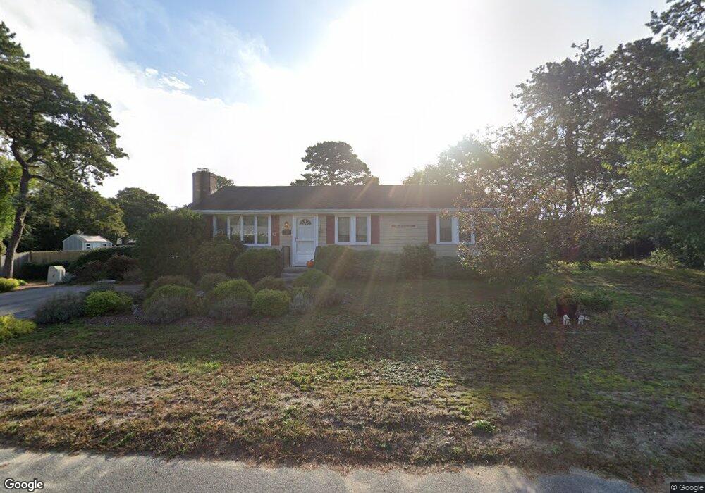
96 Polly Fisk Ln Dennis Port, MA 02639
Dennis Port NeighborhoodEstimated Value: $566,000 - $689,000
3
Beds
1
Bath
1,056
Sq Ft
$588/Sq Ft
Est. Value
About This Home
This home is located at 96 Polly Fisk Ln, Dennis Port, MA 02639 and is currently estimated at $621,346, approximately $588 per square foot. 96 Polly Fisk Ln is a home located in Barnstable County with nearby schools including Dennis-Yarmouth Regional High School and St. Pius X. School.
Ownership History
Date
Name
Owned For
Owner Type
Purchase Details
Closed on
Jan 4, 2005
Sold by
Panchuck Michael S and Panchuck Paula D
Bought by
Msp Nt
Current Estimated Value
Home Financials for this Owner
Home Financials are based on the most recent Mortgage that was taken out on this home.
Original Mortgage
$260,000
Outstanding Balance
$131,096
Interest Rate
5.73%
Mortgage Type
Purchase Money Mortgage
Estimated Equity
$490,250
Purchase Details
Closed on
Aug 8, 2000
Sold by
Brooks Wayne I and Brooks Margaret A
Bought by
Brooks Jennifer A and Brooks William J
Home Financials for this Owner
Home Financials are based on the most recent Mortgage that was taken out on this home.
Original Mortgage
$140,000
Interest Rate
8.1%
Mortgage Type
Purchase Money Mortgage
Purchase Details
Closed on
May 31, 1990
Sold by
Symmons Kevin V
Bought by
Brooks Wayne I
Home Financials for this Owner
Home Financials are based on the most recent Mortgage that was taken out on this home.
Original Mortgage
$107,500
Interest Rate
10.25%
Mortgage Type
Purchase Money Mortgage
Create a Home Valuation Report for This Property
The Home Valuation Report is an in-depth analysis detailing your home's value as well as a comparison with similar homes in the area
Home Values in the Area
Average Home Value in this Area
Purchase History
| Date | Buyer | Sale Price | Title Company |
|---|---|---|---|
| Msp Nt | -- | -- | |
| Panchuck Michael S | $325,000 | -- | |
| Brooks Jennifer A | $150,000 | -- | |
| Brooks Wayne I | $134,400 | -- |
Source: Public Records
Mortgage History
| Date | Status | Borrower | Loan Amount |
|---|---|---|---|
| Open | Panchuck Michael S | $260,000 | |
| Previous Owner | Brooks Jennifer A | $140,000 | |
| Previous Owner | Brooks Wayne I | $107,500 |
Source: Public Records
Tax History Compared to Growth
Tax History
| Year | Tax Paid | Tax Assessment Tax Assessment Total Assessment is a certain percentage of the fair market value that is determined by local assessors to be the total taxable value of land and additions on the property. | Land | Improvement |
|---|---|---|---|---|
| 2025 | $2,489 | $574,900 | $216,100 | $358,800 |
| 2024 | $2,344 | $534,000 | $207,800 | $326,200 |
| 2023 | $2,267 | $485,400 | $188,900 | $296,500 |
| 2022 | $2,186 | $390,300 | $170,200 | $220,100 |
| 2021 | $2,246 | $372,500 | $190,700 | $181,800 |
| 2020 | $2,024 | $331,800 | $166,800 | $165,000 |
| 2019 | $1,915 | $310,400 | $163,600 | $146,800 |
| 2018 | $1,834 | $289,200 | $155,700 | $133,500 |
| 2017 | $1,684 | $273,900 | $144,600 | $129,300 |
| 2016 | $1,721 | $263,500 | $155,700 | $107,800 |
| 2015 | $1,686 | $263,500 | $155,700 | $107,800 |
| 2014 | $1,532 | $241,300 | $133,500 | $107,800 |
Source: Public Records
Map
Nearby Homes
- 80 Michaels Ave
- 19 Standish Way
- 31 Easy St
- 22 Wixon Rd
- 4 Coffey Ln
- 71 Main St
- 125 Main St Unit 3
- 72 Bassett Ln
- 12 Spoonbill Rd
- 37 Ocean Dr Unit 2
- 64 Beaten Rd
- 268 Main St
- 15 Woodside Park Rd
- 112 Old Wharf Rd Unit E4
- 112 Old Wharf Rd Unit E1
- 154 Old Wharf Rd Unit 26
- 154 Old Wharf Rd Unit 14
- 37 Beach Hills Rd
- 22 Ferncliff Rd
- 37-A Beach Hills Rd