96 Pvt Rd 232 Twp 85 E Chesapeake, OH 45619
Estimated Value: $83,992 - $124,000
2
Beds
1
Bath
1,866
Sq Ft
$56/Sq Ft
Est. Value
About This Home
This home is located at 96 Pvt Rd 232 Twp 85 E, Chesapeake, OH 45619 and is currently estimated at $104,998, approximately $56 per square foot. 96 Pvt Rd 232 Twp 85 E is a home with nearby schools including Chesapeake Elementary School, Chesapeake Middle School, and Chesapeake High School.
Ownership History
Date
Name
Owned For
Owner Type
Purchase Details
Closed on
May 23, 2022
Sold by
Joy Ramey Amanda
Bought by
Mcmaster Timothy Eugene
Current Estimated Value
Purchase Details
Closed on
Feb 25, 2014
Sold by
Mcmaster Otha E and Mcmaster Patricia
Bought by
Ramey Amanda Joy
Purchase Details
Closed on
Feb 9, 2012
Sold by
Mcmasters Pearl
Bought by
Mcmasters Otha E and Freels Mary Jane
Purchase Details
Closed on
Jan 1, 1987
Bought by
Mcmaster Pearl
Create a Home Valuation Report for This Property
The Home Valuation Report is an in-depth analysis detailing your home's value as well as a comparison with similar homes in the area
Home Values in the Area
Average Home Value in this Area
Purchase History
| Date | Buyer | Sale Price | Title Company |
|---|---|---|---|
| Mcmaster Timothy Eugene | -- | None Listed On Document | |
| Ramey Amanda Joy | $4,000 | None Available | |
| Mcmasters Otha E | -- | Attorney | |
| Mcmaster Pearl | -- | -- |
Source: Public Records
Tax History Compared to Growth
Tax History
| Year | Tax Paid | Tax Assessment Tax Assessment Total Assessment is a certain percentage of the fair market value that is determined by local assessors to be the total taxable value of land and additions on the property. | Land | Improvement |
|---|---|---|---|---|
| 2024 | -- | $16,360 | $6,110 | $10,250 |
| 2023 | $489 | $16,720 | $6,110 | $10,610 |
| 2022 | $489 | $16,720 | $6,110 | $10,610 |
| 2021 | $500 | $16,730 | $5,810 | $10,920 |
| 2020 | $516 | $16,730 | $5,810 | $10,920 |
| 2019 | $515 | $16,730 | $5,810 | $10,920 |
| 2018 | $518 | $16,730 | $5,810 | $10,920 |
| 2017 | $518 | $16,730 | $5,810 | $10,920 |
| 2016 | $480 | $16,730 | $5,810 | $10,920 |
| 2015 | $335 | $11,450 | $5,800 | $5,650 |
| 2014 | $335 | $11,450 | $5,800 | $5,650 |
| 2013 | $501 | $17,350 | $5,800 | $11,550 |
Source: Public Records
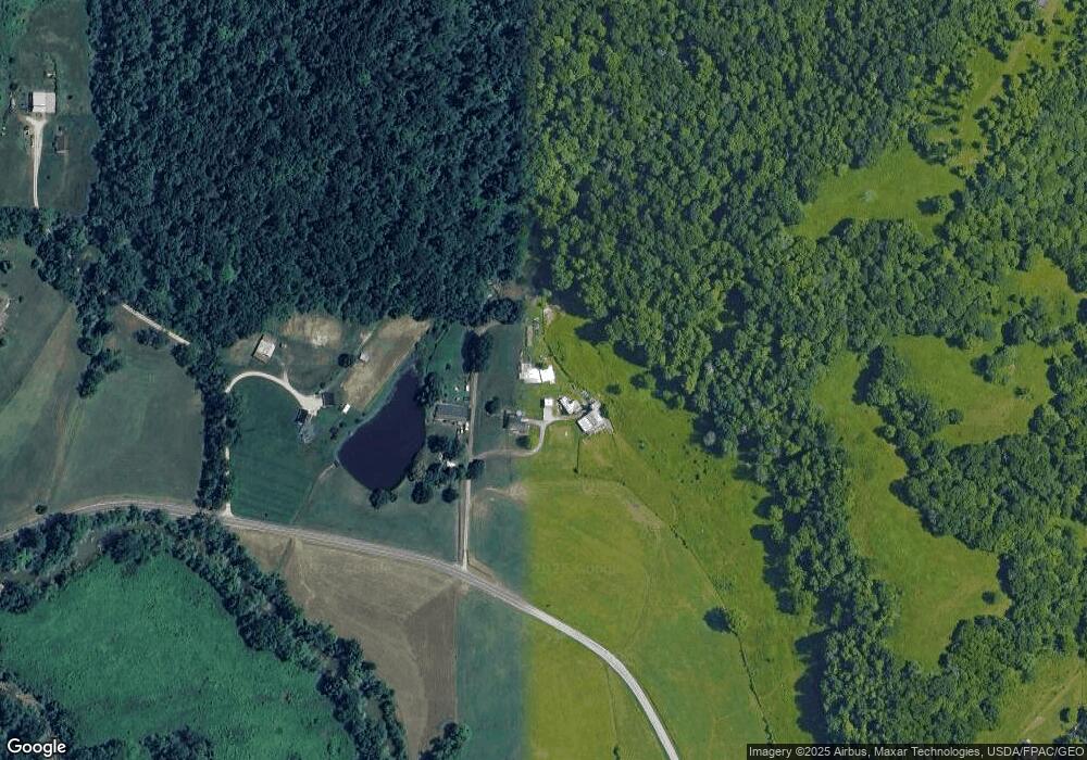
Map
Nearby Homes
- 275 Township Road 118
- 253 Township Road 1357
- 135 Township Road 85 E
- 14 Township Road 1356
- 152 Township Road 1483
- 983 County Road 104
- 3493 County Road 31
- 3171 County Road 31
- 101 Township Road 1119
- 1334 McKinney Creek-Hesson Hollow Rd N
- 1334 Township Road 214th N
- 15 Private Dr
- 123 Private Dr
- 1666 County Road 31
- 81 Township Road 158
- 301 Township Road 158
- 66 Township Road 1523
- 101 Township Road 1199
- 0 County Road 123
- 30 Township Road 1482
- 96 Private Dr Unit Township Road 85 E
- 96 Private Dr Unit Twp Rd 130A
- 190 Private Dr Unit Township Road 1156
- 100 Private Dr
- 92 Private Dr
- 56 Private Dr
- 84 Private Dr
- 68 Private Dr
- 40 Private Dr
- 95 Private Dr
- 9 Private Dr
- 13563 State Route 243
- 30 Private Dr Unit 1134
- 45 Private Dr
- 20 Private Dr
- 14 Private Dr
- 25 Private Dr
- 70 Private Drive 13439
- 13273 State Route 243
- 13811 State Route 243