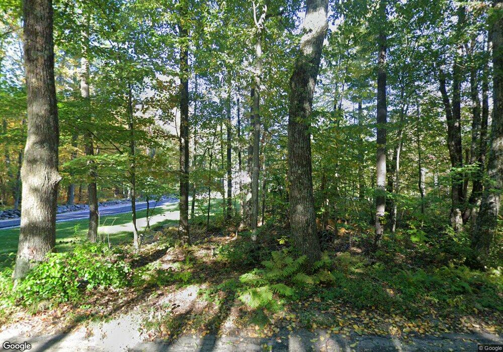
96 Ridge Rd Rutland, MA 01543
Estimated Value: $675,000 - $719,000
4
Beds
3
Baths
2,212
Sq Ft
$314/Sq Ft
Est. Value
About This Home
This home is located at 96 Ridge Rd, Rutland, MA 01543 and is currently estimated at $694,902, approximately $314 per square foot. 96 Ridge Rd is a home located in Worcester County with nearby schools including Wachusett Regional High School.
Create a Home Valuation Report for This Property
The Home Valuation Report is an in-depth analysis detailing your home's value as well as a comparison with similar homes in the area
Home Values in the Area
Average Home Value in this Area
Tax History Compared to Growth
Tax History
| Year | Tax Paid | Tax Assessment Tax Assessment Total Assessment is a certain percentage of the fair market value that is determined by local assessors to be the total taxable value of land and additions on the property. | Land | Improvement |
|---|---|---|---|---|
| 2025 | $9,491 | $666,500 | $97,400 | $569,100 |
| 2024 | $10,135 | $683,400 | $93,500 | $589,900 |
| 2023 | $9,231 | $672,800 | $88,200 | $584,600 |
| 2022 | $8,920 | $564,900 | $74,500 | $490,400 |
| 2021 | $8,527 | $510,600 | $74,500 | $436,100 |
| 2020 | $1,245 | $70,700 | $70,700 | $0 |
| 2019 | $1,204 | $67,300 | $67,300 | $0 |
| 2018 | $1,220 | $67,300 | $67,300 | $0 |
| 2017 | $1,233 | $67,300 | $67,300 | $0 |
| 2016 | $1,112 | $64,000 | $64,000 | $0 |
| 2015 | $1,130 | $64,000 | $64,000 | $0 |
| 2014 | $1,095 | $64,000 | $64,000 | $0 |
Source: Public Records
Map
Nearby Homes
- 271 Glenwood Rd
- 81 Glenwood Place
- 147 E County Rd Unit 149
- 139 E County Rd Unit 139
- 166 Ball Hill Rd
- 175 Glenwood Rd
- 101 Brintnal Dr
- 73 Brintnal Dr
- 15 Stagecoach Rd
- 9 Stagecoach Rd
- 35 Brintnal Dr
- 56 Hubbardston Rd
- 2 Simon Davis Dr
- 14 Oak Cir
- 81 Central Tree Rd
- 16 Richards Ave
- 55 Pommogussett Rd
- 40 Brunelle Dr
- 32 Pommogussett Rd Unit 1
- 10 Beechwood Dr
