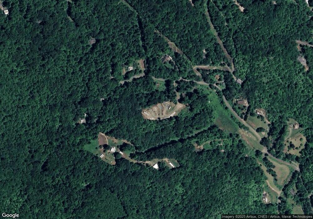
Estimated Value: $489,000 - $519,000
4
Beds
4
Baths
868
Sq Ft
$583/Sq Ft
Est. Value
About This Home
This home is located at 96 Safe Haven Ridge, Sylva, NC 28779 and is currently estimated at $506,000, approximately $582 per square foot. 96 Safe Haven Ridge is a home with nearby schools including Fairview Elementary School and Smoky Mountain High School.
Ownership History
Date
Name
Owned For
Owner Type
Purchase Details
Closed on
May 25, 2021
Sold by
Beasley Jason Carl and Beasley Kimberly K
Bought by
Orr Matthew Barron and Orr Trina
Current Estimated Value
Purchase Details
Closed on
Jun 6, 2013
Sold by
Cook Ricky Rondale and Cook Jill Sutton
Bought by
Beasley Jason Carl and Orr Matthew Barron
Home Financials for this Owner
Home Financials are based on the most recent Mortgage that was taken out on this home.
Original Mortgage
$26,888
Interest Rate
3.42%
Mortgage Type
Unknown
Create a Home Valuation Report for This Property
The Home Valuation Report is an in-depth analysis detailing your home's value as well as a comparison with similar homes in the area
Home Values in the Area
Average Home Value in this Area
Purchase History
| Date | Buyer | Sale Price | Title Company |
|---|---|---|---|
| Orr Matthew Barron | -- | None Available | |
| Orr Matthew Barron | -- | None Listed On Document | |
| Beasley Jason Carl | $42,000 | None Available |
Source: Public Records
Mortgage History
| Date | Status | Borrower | Loan Amount |
|---|---|---|---|
| Previous Owner | Beasley Jason Carl | $26,888 |
Source: Public Records
Tax History Compared to Growth
Tax History
| Year | Tax Paid | Tax Assessment Tax Assessment Total Assessment is a certain percentage of the fair market value that is determined by local assessors to be the total taxable value of land and additions on the property. | Land | Improvement |
|---|---|---|---|---|
| 2025 | $1,937 | $509,648 | $113,400 | $396,248 |
| 2024 | $988 | $260,100 | $111,390 | $148,710 |
| 2023 | $1,378 | $260,100 | $111,390 | $148,710 |
| 2022 | $1,102 | $187,450 | $111,390 | $76,060 |
| 2021 | $712 | $187,450 | $111,390 | $76,060 |
| 2020 | $395 | $100,890 | $59,390 | $41,500 |
| 2019 | $419 | $110,390 | $59,390 | $51,000 |
| 2018 | $419 | $110,390 | $59,390 | $51,000 |
| 2017 | $408 | $110,390 | $59,390 | $51,000 |
| 2015 | $168 | $59,390 | $59,390 | $0 |
| 2011 | -- | $60,120 | $60,120 | $0 |
Source: Public Records
Map
Nearby Homes
- 00 Sutton Branch Rd
- 10 Turkey Trot Trail
- 0 Wyoming Dr
- 152 Lantana Dr
- 46 Quail Hollow Dr
- 0 Greenspire Dr
- 0 Ivy Ridge Unit 26041961
- 208 Ivy Ridge Cir
- 45 Old Cove Rd
- 3 Rock And Roll Ln
- Lot 3 Rock And Roll Ln
- 296 Ivy Ridge Cir
- 86 Tuts Terrace
- Lt 7 Tuts Terrace
- Lt 15 Tuts Terrace
- Lt 14 Tuts Terrace
- 303 Tuts Terrace
- Lt 9 Tuts Terrace
- Lt 6 Tuts Terrace
- 419 Bayberry Cove Rd
- 1023 Brooks Branch Rd
- 1143 Brooks Branch Rd
- 82 Snowbird Rd
- 1064 Brooks Branch Rd
- 198 Snowbird Rd
- 1094 Brooks Branch Rd
- 236 Snowbird Rd
- 976 Brooks Branch Rd
- 144 Crabapple Dr
- VL 28/9A Lantern Wick Way
- 38 Snowbird Rd
- 101 Crabapple Dr
- 11 Short Creek Cir
- VL Brooks Branch
- 908 Brooks Branch Rd
- 906 Brooks Branch Rd
- 11 Short Creek Ln
- 812 Brooks Branch Rd
- 126 Short Creek Cir
- 27 Crabapple Dr
