Estimated Value: $128,597 - $226,000
--
Bed
--
Bath
1,064
Sq Ft
$154/Sq Ft
Est. Value
About This Home
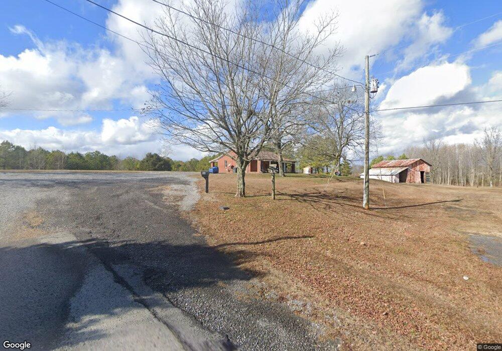
This home is located at 96 Saint Rd, Grant, AL 35747 and is currently estimated at $163,399, approximately $153 per square foot. 96 Saint Rd is a home located in Marshall County with nearby schools including Kate Duncan Smith DAR Elementary School, Claysville Jr High School, and Kate Duncan Smith DAR Middle School.
Ownership History
Date
Name
Owned For
Owner Type
Purchase Details
Closed on
Dec 20, 2019
Sold by
Lynch Patrick D
Bought by
Parr Harold Dean
Current Estimated Value
Home Financials for this Owner
Home Financials are based on the most recent Mortgage that was taken out on this home.
Original Mortgage
$52,500
Outstanding Balance
$46,286
Interest Rate
3.6%
Mortgage Type
New Conventional
Estimated Equity
$117,113
Purchase Details
Closed on
May 15, 2017
Sold by
Lynch Joshua
Bought by
Lynch Patrick D and Lynch Julie Diane
Purchase Details
Closed on
May 10, 2017
Sold by
Lynch Joshua
Bought by
Lynch Patrick D and Lynch Julie Diane
Create a Home Valuation Report for This Property
The Home Valuation Report is an in-depth analysis detailing your home's value as well as a comparison with similar homes in the area
Home Values in the Area
Average Home Value in this Area
Purchase History
| Date | Buyer | Sale Price | Title Company |
|---|---|---|---|
| Parr Harold Dean | $70,000 | None Available | |
| Lynch Patrick D | $61,400 | None Available | |
| Lynch Patrick D | $4,800 | None Available |
Source: Public Records
Mortgage History
| Date | Status | Borrower | Loan Amount |
|---|---|---|---|
| Open | Parr Harold Dean | $52,500 |
Source: Public Records
Tax History Compared to Growth
Tax History
| Year | Tax Paid | Tax Assessment Tax Assessment Total Assessment is a certain percentage of the fair market value that is determined by local assessors to be the total taxable value of land and additions on the property. | Land | Improvement |
|---|---|---|---|---|
| 2024 | $774 | $17,800 | $0 | $0 |
| 2023 | $728 | $17,560 | $2,320 | $15,240 |
| 2022 | $707 | $17,260 | $0 | $0 |
| 2021 | $673 | $16,340 | $0 | $0 |
| 2020 | $272 | $7,060 | $0 | $0 |
| 2017 | $632 | $6,660 | $0 | $0 |
| 2015 | -- | $6,160 | $0 | $0 |
| 2014 | -- | $5,040 | $0 | $0 |
Source: Public Records
Map
Nearby Homes
- 66 Joeffie Rd
- 773 Honeycomb Valley Rd
- 135 Honeycomb Valley Rd
- 1169 Honeycomb Rd
- 885 Honeycomb Rd
- 255 Joeffie Rd
- .80 Honeycomb Rd
- 2333 White Elephant Rd
- 2216 White Elephant Rd
- 27590 Us Highway 431
- 0 Honeycomb Rd Unit 522693
- 0 Honeycomb Rd Unit RTC2891146
- 1520 White Elephant Rd
- 28543 Us Highway 431 Unit 23
- 28527 Us Highway 431
- 24 11 Forty Rd
- 80 Shelby Dr
- .57 acre Shelby Dr
- 131 Winter Dr
- 5D Snug Harbor Rd
- 83 Saint Rd
- 67 Saint Rd
- 48 Saint Rd
- 2273 Cottonville Rd
- 102 Stone Rd
- 125 Stone Rd
- 2375 Cottonville Rd
- 2227 Cottonville Rd
- 12 Stone Rd
- 2161 Cottonville Rd
- 105 Stone Rd
- 2109 Cottonville Rd
- 2121 Cottonville Rd
- 2647 Cottonville Rd
- 2105 Cottonville Rd
- 2075 Cottonville Rd
- 2622 Cottonville Rd
- 188 Bearden Rd
- 54 Parcus Rd
- 60 Bearden Rd